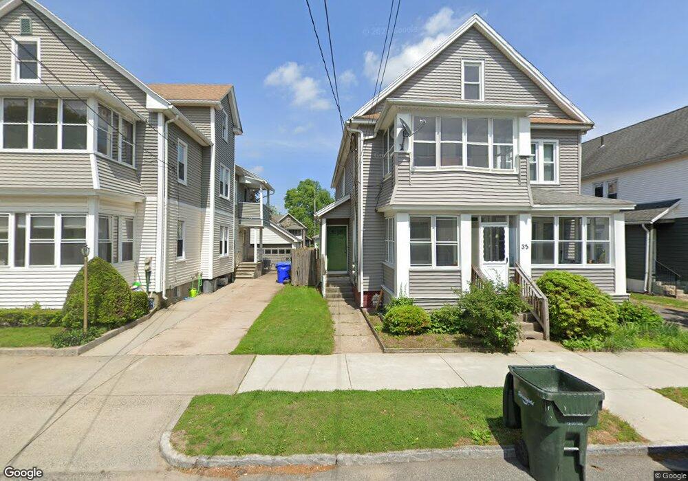
172 Commonwealth Ave Unit 174 Springfield, MA 01108
Forest Park NeighborhoodEstimated Value: $253,933 - $332,000
6
Beds
2
Baths
2,416
Sq Ft
$122/Sq Ft
Est. Value
About This Home
This home is located at 172 Commonwealth Ave Unit 174, Springfield, MA 01108 and is currently estimated at $294,483, approximately $121 per square foot. 172 Commonwealth Ave Unit 174 is a home located in Hampden County with nearby schools including Alice B. Beal Elementary School, Forest Park Middle School, and High School Of Commerce.
Ownership History
Date
Name
Owned For
Owner Type
Purchase Details
Closed on
Sep 30, 2005
Sold by
Whalen James F and Whalen Cheryl A
Bought by
Fraser Linton D and Fraser Nicole K
Current Estimated Value
Home Financials for this Owner
Home Financials are based on the most recent Mortgage that was taken out on this home.
Original Mortgage
$171,000
Outstanding Balance
$91,988
Interest Rate
5.84%
Mortgage Type
Purchase Money Mortgage
Estimated Equity
$202,495
Create a Home Valuation Report for This Property
The Home Valuation Report is an in-depth analysis detailing your home's value as well as a comparison with similar homes in the area
Home Values in the Area
Average Home Value in this Area
Purchase History
| Date | Buyer | Sale Price | Title Company |
|---|---|---|---|
| Fraser Linton D | $171,000 | -- |
Source: Public Records
Mortgage History
| Date | Status | Borrower | Loan Amount |
|---|---|---|---|
| Open | Fraser Linton D | $171,000 |
Source: Public Records
Tax History
| Year | Tax Paid | Tax Assessment Tax Assessment Total Assessment is a certain percentage of the fair market value that is determined by local assessors to be the total taxable value of land and additions on the property. | Land | Improvement |
|---|---|---|---|---|
| 2025 | $3,139 | $200,200 | $36,800 | $163,400 |
| 2024 | $3,016 | $187,800 | $36,800 | $151,000 |
| 2023 | $2,783 | $163,200 | $35,100 | $128,100 |
| 2022 | $2,876 | $152,800 | $35,100 | $117,700 |
| 2021 | $2,684 | $142,000 | $31,900 | $110,100 |
| 2020 | $2,691 | $137,800 | $31,900 | $105,900 |
| 2019 | $2,716 | $138,000 | $31,900 | $106,100 |
| 2018 | $2,635 | $133,900 | $31,900 | $102,000 |
| 2017 | $2,611 | $132,800 | $31,900 | $100,900 |
| 2016 | $2,292 | $116,600 | $31,900 | $84,700 |
| 2015 | $2,209 | $112,300 | $31,900 | $80,400 |
Source: Public Records
Map
Nearby Homes
- 35 Carlton St
- 144 Washington St
- 134-136 Woodlawn St
- 58 Appleton St
- 52 Orlando St
- 179 Carver St
- 132 Carroll St
- 27 Ormond St
- 104 Appleton St
- 137 Carroll St
- 42 Carroll St
- 914-916 Belmont Ave
- 12 Carroll St
- 53 Texel Dr
- 22 Eleanor Rd
- 33-35 Ruskin St
- 88 Brunswick St
- 46 Eckington St
- 38 Manchester Terrace
- 854-856 Sumner Ave
- 172-174 Commonwealth Ave
- 168 Commonwealth Ave
- 178 Commonwealth Ave Unit 180
- 178-180 Commonwealth Ave
- 162-164 Commonweatlh Ave
- 162 Commonwealth Ave Unit 164
- 182 Commonwealth Ave Unit 184
- 31 Draper St Unit 33
- 182-184 Commonwealth Ave
- 162-164 Commonwealth Ave
- 27 Draper St Unit 29
- 37 Draper St Unit 39
- 21 Draper St Unit 23
- 21-23 Draper St
- 41 Draper St Unit 43
- 173 Commonwealth Ave
- 188 Commonwealth Ave Unit 190
- 167 Commonwealth Ave Unit 169
- 177 Commonwealth Ave Unit 179
- 17 Draper St Unit 19
Your Personal Tour Guide
Ask me questions while you tour the home.