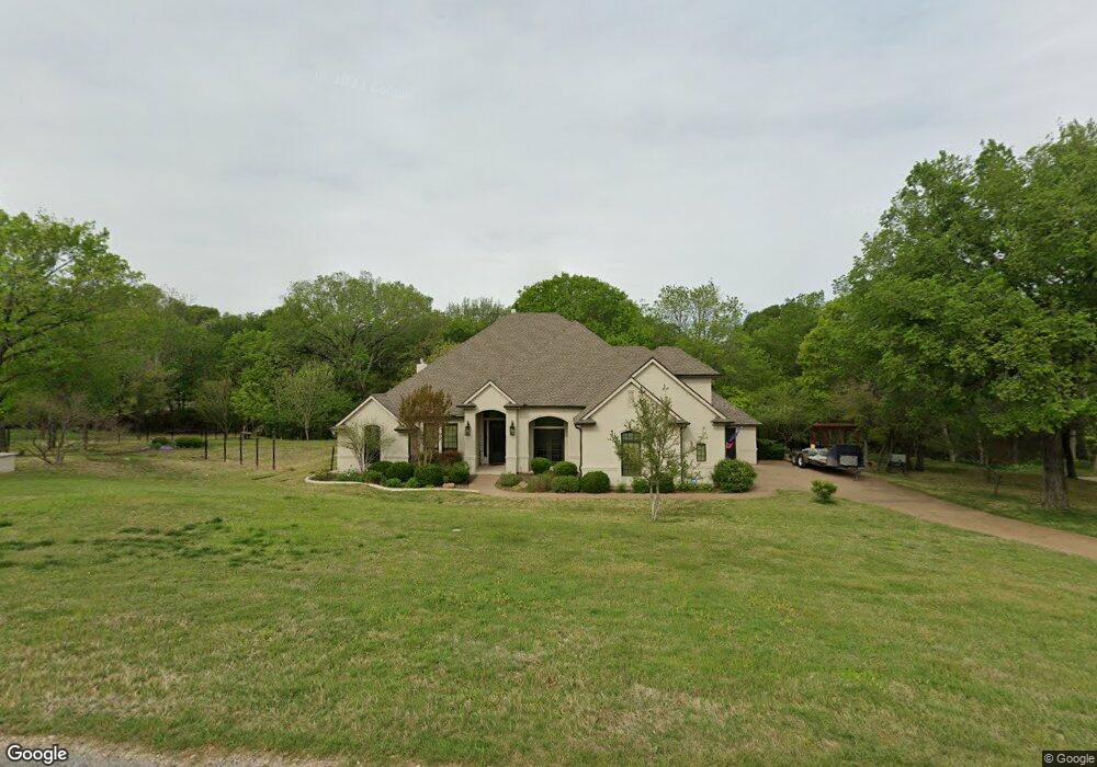
172 Covered Bridge Dr Unit DRIVE Fort Worth, TX 76108
Far West Fort Worth NeighborhoodEstimated Value: $675,000 - $732,000
3
Beds
3
Baths
3,355
Sq Ft
$207/Sq Ft
Est. Value
About This Home
This home is located at 172 Covered Bridge Dr Unit DRIVE, Fort Worth, TX 76108 and is currently estimated at $695,806, approximately $207 per square foot. 172 Covered Bridge Dr Unit DRIVE is a home located in Parker County with nearby schools including Silver Creek Elementary School, Azle Elementary School, and Azle Junior High School.
Ownership History
Date
Name
Owned For
Owner Type
Purchase Details
Closed on
Oct 17, 2025
Sold by
Martin Jason Scott and Paige Smith
Bought by
Martin Trust and Martin
Current Estimated Value
Purchase Details
Closed on
Feb 3, 2023
Sold by
Craig William H and Craig Leigh A
Bought by
Martin Jason Scott and Martin Paige Smith
Home Financials for this Owner
Home Financials are based on the most recent Mortgage that was taken out on this home.
Original Mortgage
$576,339
Interest Rate
6.27%
Mortgage Type
VA
Purchase Details
Closed on
Jun 20, 2016
Sold by
Hawkins B G and Hawkins Marcenia O
Bought by
Craig William H and Craig Leigh A
Home Financials for this Owner
Home Financials are based on the most recent Mortgage that was taken out on this home.
Original Mortgage
$173,000
Interest Rate
2.86%
Mortgage Type
New Conventional
Create a Home Valuation Report for This Property
The Home Valuation Report is an in-depth analysis detailing your home's value as well as a comparison with similar homes in the area
Home Values in the Area
Average Home Value in this Area
Purchase History
| Date | Buyer | Sale Price | Title Company |
|---|---|---|---|
| Martin Trust | -- | None Listed On Document | |
| Martin Jason Scott | -- | -- | |
| Craig William H | -- | Attorney |
Source: Public Records
Mortgage History
| Date | Status | Borrower | Loan Amount |
|---|---|---|---|
| Previous Owner | Martin Jason Scott | $576,339 | |
| Previous Owner | Craig William H | $173,000 |
Source: Public Records
Tax History Compared to Growth
Tax History
| Year | Tax Paid | Tax Assessment Tax Assessment Total Assessment is a certain percentage of the fair market value that is determined by local assessors to be the total taxable value of land and additions on the property. | Land | Improvement |
|---|---|---|---|---|
| 2025 | $3,794 | $651,427 | $159,880 | $491,547 |
| 2024 | $3,794 | $650,000 | $117,310 | $532,690 |
| 2023 | $3,794 | $538,604 | $0 | $0 |
| 2022 | $9,060 | $489,640 | $94,000 | $395,640 |
| 2021 | $9,493 | $489,640 | $94,000 | $395,640 |
| 2020 | $8,786 | $455,640 | $60,000 | $395,640 |
| 2019 | $8,887 | $455,640 | $60,000 | $395,640 |
| 2018 | $8,105 | $395,310 | $60,000 | $335,310 |
| 2017 | $7,723 | $395,310 | $60,000 | $335,310 |
| 2016 | $6,560 | $335,790 | $60,000 | $275,790 |
| 2015 | $2,358 | $335,790 | $60,000 | $275,790 |
| 2014 | -- | $331,300 | $60,000 | $271,300 |
Source: Public Records
Map
Nearby Homes
- 100 Stone Canyon Cir
- 108 Stone Canyon Cir
- 142 Crown Ridge Ct
- 141 E Bozeman Ln
- 175 N Boyce Ln
- 101 E Bozeman Ln
- 200 W Bozeman Ln
- 900 Reese Ln
- 301 Silver Canyon Dr
- 313 Silver Canyon Dr
- 420 Cattlebaron Parc Dr
- 813 Remuda Dr
- 129 Lariat Ct
- 694 Boling Ranch Rd
- 1144 Boling Ranch Rd N
- 1144 Rd
- 741 Remuda Dr
- 189 Stoney Ridge
- 104 Woodview Creek Trail
- 125 Branding Iron Ct
- 172 Covered Bridge Dr
- 164 Covered Bridge Dr
- 180 Covered Bridge Dr
- 100 Stone Canyon Cir Unit CIRCLE
- 188 Covered Bridge Dr
- 9 Stone Canyon Cir
- 109 Stone Canyon Cir
- 156 Covered Bridge Dr
- 189 Covered Bridge Dr
- 189 Covered Bridge Dr Unit DRIVE
- 117 Stone Canyon Cir
- 116 Stone Canyon Cir
- 196 Covered Bridge Dr
- 181 E Bozeman Ln
- 148 Covered Bridge Dr
- 189 E Bozeman Ln
- 153 Crown Ridge Ct
- 153 Crown Ridge Ct Unit COURT
- 132 Stone Canyon Cir
- 124 Stone Canyon Cir