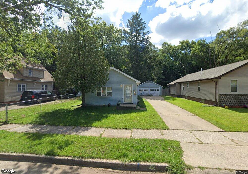
172 Cross St Benton Harbor, MI 49022
Estimated Value: $73,000 - $122,000
3
Beds
1
Bath
1,104
Sq Ft
$95/Sq Ft
Est. Value
About This Home
This home is located at 172 Cross St, Benton Harbor, MI 49022 and is currently estimated at $105,424, approximately $95 per square foot. 172 Cross St is a home located in Berrien County with nearby schools including Fair Plain Middle School, Benton Harbor High School, and Benton Harbor Charter School Academy.
Ownership History
Date
Name
Owned For
Owner Type
Purchase Details
Closed on
Mar 15, 2024
Sold by
Buntaru Sergio and Butnaru Sergio
Bought by
Harbor Estate Properties Llc
Current Estimated Value
Purchase Details
Closed on
Sep 25, 2008
Sold by
Brock Angela L
Bought by
Us Bank National Association
Purchase Details
Closed on
Feb 16, 2004
Sold by
Johnson Roxanne M and Brock Roxanne N
Bought by
Brock Angela L
Purchase Details
Closed on
Nov 13, 1996
Sold by
Brock Walter L and Brock Roxanne M
Bought by
Brock Roxanne M and Johnson Roxanne M
Purchase Details
Closed on
Apr 3, 1978
Purchase Details
Closed on
Jun 3, 1977
Create a Home Valuation Report for This Property
The Home Valuation Report is an in-depth analysis detailing your home's value as well as a comparison with similar homes in the area
Home Values in the Area
Average Home Value in this Area
Purchase History
| Date | Buyer | Sale Price | Title Company |
|---|---|---|---|
| Harbor Estate Properties Llc | -- | None Listed On Document | |
| Harbor Estate Properties Llc | -- | None Listed On Document | |
| Us Bank National Association | $21,250 | None Available | |
| Brock Angela L | -- | -- | |
| Brock Roxanne M | -- | -- | |
| -- | $100 | -- | |
| -- | $15,400 | -- | |
| -- | $11,000 | -- |
Source: Public Records
Tax History Compared to Growth
Tax History
| Year | Tax Paid | Tax Assessment Tax Assessment Total Assessment is a certain percentage of the fair market value that is determined by local assessors to be the total taxable value of land and additions on the property. | Land | Improvement |
|---|---|---|---|---|
| 2025 | $1,310 | $41,000 | $0 | $0 |
| 2024 | $953 | $36,300 | $0 | $0 |
| 2023 | $763 | $26,200 | $0 | $0 |
| 2022 | $865 | $19,600 | $0 | $0 |
| 2021 | $2,122 | $19,200 | $700 | $18,500 |
| 2020 | $860 | $19,500 | $0 | $0 |
| 2019 | $848 | $17,100 | $0 | $0 |
| 2018 | $825 | $19,200 | $0 | $0 |
| 2017 | $809 | $13,100 | $0 | $0 |
| 2016 | $795 | $13,200 | $0 | $0 |
| 2015 | $793 | $12,700 | $0 | $0 |
| 2014 | $860 | $15,400 | $0 | $0 |
Source: Public Records
Map
Nearby Homes
- 1235 Colfax Ave
- 180 Emery Ave
- 1267 Broadway
- 979 Lavette Ave
- 202 Searles Ave
- 1097 Pearl St
- 361 E May St
- 941 Colfax Ave
- 1332 Columbus Ave
- 171 E Empire Ave
- 872 Mcalister Ave
- 1301 Superior St
- 1219 Ogden Ave
- 349 E Empire Ave
- 377 Western Ave
- 131 Clay St
- 833 Pearl St
- 379 Western Ave
- 1045 Broadway
- 1152 Jennings Ave
- 166 Cross St
- 150 Cross St
- 142 Cross St
- 174 Cross St
- 134 Cross St
- 159 Cross St
- 165 Cross St
- 1220 Mcallister Ave
- 1220 Mcalister St
- 137 Cross St
- 120 Cross St
- 195 Cross St
- 1185 Lavette Ave
- 127 Cross St
- 1190 Mcallister Ave
- 1244 Mcallister Ave
- 1225 Colfax Ave
- 1225 Mcallister Ave
- 1180 Mcallister Ave
- 1173 Lavette Ave