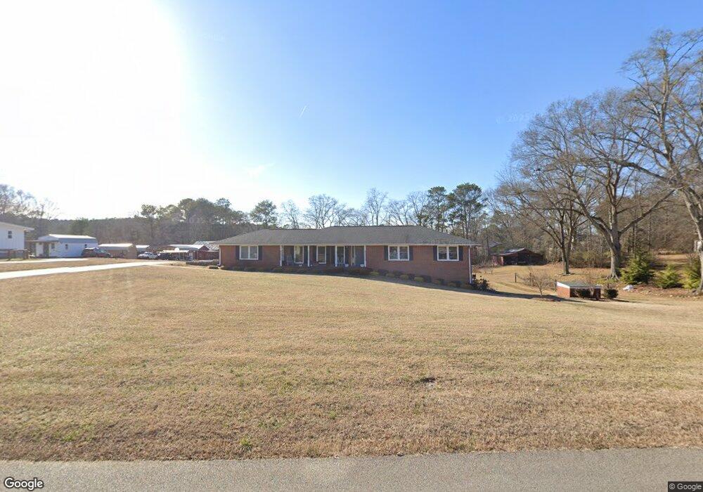
172 Durham St Dallas, GA 30132
Estimated Value: $291,000 - $364,207
3
Beds
2
Baths
1,688
Sq Ft
$188/Sq Ft
Est. Value
About This Home
This home is located at 172 Durham St, Dallas, GA 30132 and is currently estimated at $317,802, approximately $188 per square foot. 172 Durham St is a home located in Paulding County with nearby schools including Lillian C. Poole Elementary School, Herschel Jones Middle School, and Paulding County High School.
Ownership History
Date
Name
Owned For
Owner Type
Purchase Details
Closed on
Oct 12, 2018
Sold by
Benson Betty Gail
Bought by
Benson Jeffery Allen
Current Estimated Value
Purchase Details
Closed on
Mar 25, 2015
Sold by
Benson Roy Lee
Bought by
Benson Betty Gail
Purchase Details
Closed on
Sep 3, 2014
Sold by
Benson Jeanette
Bought by
Benson Roy L and Benson Jeffery Allen
Purchase Details
Closed on
Aug 29, 2014
Sold by
Benson Roy L
Bought by
Benson Jeanette
Purchase Details
Closed on
Oct 20, 2009
Sold by
Benson Roy Estate
Purchase Details
Closed on
Jan 20, 2009
Sold by
Benson Roy
Create a Home Valuation Report for This Property
The Home Valuation Report is an in-depth analysis detailing your home's value as well as a comparison with similar homes in the area
Home Values in the Area
Average Home Value in this Area
Purchase History
| Date | Buyer | Sale Price | Title Company |
|---|---|---|---|
| Benson Jeffery Allen | $87,500 | -- | |
| Benson Betty Gail | -- | -- | |
| Benson Roy L | -- | -- | |
| Benson Jeanette | -- | -- | |
| -- | -- | -- | |
| -- | -- | -- |
Source: Public Records
Tax History Compared to Growth
Tax History
| Year | Tax Paid | Tax Assessment Tax Assessment Total Assessment is a certain percentage of the fair market value that is determined by local assessors to be the total taxable value of land and additions on the property. | Land | Improvement |
|---|---|---|---|---|
| 2024 | $3,237 | $133,384 | $37,160 | $96,224 |
| 2023 | $3,369 | $129,216 | $35,880 | $93,336 |
| 2022 | $2,918 | $111,916 | $31,000 | $80,916 |
| 2021 | $2,528 | $86,992 | $25,240 | $61,752 |
| 2020 | $2,437 | $82,048 | $26,240 | $55,808 |
| 2019 | $2,323 | $77,096 | $26,920 | $50,176 |
| 2016 | $578 | $54,884 | $25,080 | $29,804 |
Source: Public Records
Map
Nearby Homes
- 107 Salem Place
- 0 Cole Lake Rd Unit 7651259
- 0 Cole Lake Rd Unit 10607141
- 60 Westside Cir
- 298 Buchanan Hwy
- 1119 W Memorial Dr
- 380 Buchanan Hwy
- +/-1.0 Cole Lake Rd
- 1160 W Memorial Dr
- 361 West Ave
- 119 Mcbee St
- 219 Briarwood Dr
- 217 Victory Dr
- 136 Rosewood Dr
- 216 Briarwood Dr Unit 3
- 47 Whitley Ct
- 120 Remington Place Blvd
- 102 Natalie Ct
- 451 Lone Bear Path
- 178 Durham St
- 225 Campbell Dr
- 223 Campbell Dr
- 226 Campbell Dr
- 210 Durham St
- 112 Durham St
- 104 Sandi Place
- 102 Sandi Place
- 221 Campbell Dr
- 224 Campbell Dr
- 250 Durham St
- 106 Sandi Place
- 222 Campbell Dr
- 0 Sandi Place Unit 8872334
- 0 Sandi Place Unit 8362160
- 0 Sandi Place
- 213 Durham St
- 171 Durham St
- 176 Benson Dr
- 107 Durham St