172 Forest Ave Cohasset, MA 02025
Estimated Value: $2,048,000 - $3,348,000
5
Beds
4
Baths
6,224
Sq Ft
$402/Sq Ft
Est. Value
About This Home
This home is located at 172 Forest Ave, Cohasset, MA 02025 and is currently estimated at $2,503,588, approximately $402 per square foot. 172 Forest Ave is a home located in Norfolk County with nearby schools including Joseph Osgood School, Deer Hill School, and Cohasset Middle School.
Ownership History
Date
Name
Owned For
Owner Type
Purchase Details
Closed on
Sep 17, 2021
Sold by
Benson Robert W and Benson Diane N
Bought by
Waterwitch 143 Llc
Current Estimated Value
Purchase Details
Closed on
Jul 22, 2014
Sold by
Benson Robert W
Bought by
Benson Robert W and Benson Diane N
Purchase Details
Closed on
May 27, 1986
Bought by
Benson Robert W and Benson Diane N
Create a Home Valuation Report for This Property
The Home Valuation Report is an in-depth analysis detailing your home's value as well as a comparison with similar homes in the area
Home Values in the Area
Average Home Value in this Area
Purchase History
| Date | Buyer | Sale Price | Title Company |
|---|---|---|---|
| Waterwitch 143 Llc | -- | None Available | |
| Benson Robert W | -- | -- | |
| Benson Robert W | -- | -- |
Source: Public Records
Tax History
| Year | Tax Paid | Tax Assessment Tax Assessment Total Assessment is a certain percentage of the fair market value that is determined by local assessors to be the total taxable value of land and additions on the property. | Land | Improvement |
|---|---|---|---|---|
| 2025 | $20,505 | $1,770,700 | $793,000 | $977,700 |
| 2024 | $20,077 | $1,649,700 | $634,500 | $1,015,200 |
| 2023 | $18,963 | $1,607,000 | $634,200 | $972,800 |
| 2022 | $19,391 | $1,543,900 | $634,200 | $909,700 |
| 2021 | $19,140 | $1,467,800 | $634,200 | $833,600 |
| 2020 | $19,037 | $1,467,800 | $634,200 | $833,600 |
| 2019 | $18,935 | $1,467,800 | $634,200 | $833,600 |
| 2018 | $18,773 | $1,467,800 | $634,200 | $833,600 |
| 2017 | $19,444 | $1,488,800 | $634,200 | $854,600 |
| 2016 | $19,176 | $1,488,800 | $634,200 | $854,600 |
| 2015 | $18,460 | $1,452,400 | $597,800 | $854,600 |
| 2014 | $18,213 | $1,452,400 | $597,800 | $854,600 |
Source: Public Records
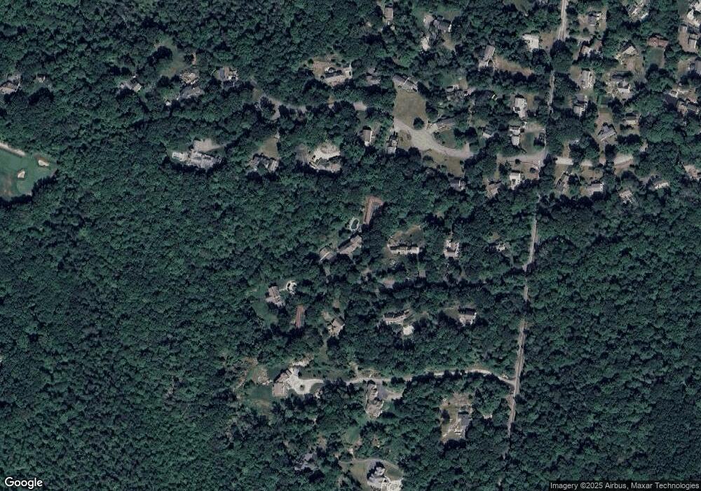
Map
Nearby Homes
- 130 Forest Ave
- 96 Forest Ave
- 14 Cedarledge Village
- 30 Diab Ln Unit 8
- 560 Jerusalem Rd
- 597 Jerusalem Rd
- 506-512 N Main St
- 166 Hull St
- 37 Richards Rd Unit A
- 37 Richards Rd
- 114 Hull St
- 50 Jerusalem Rd
- 6 Montana Ave
- 181 Atlantic Ave
- 137 Fairoaks Ln
- 9 Meade Ave Unit 1
- 18 Valley Beach Ave
- 175 Sohier St
- 2 Cliff Rd
- 10 Chestnut Place
Your Personal Tour Guide
Ask me questions while you tour the home.