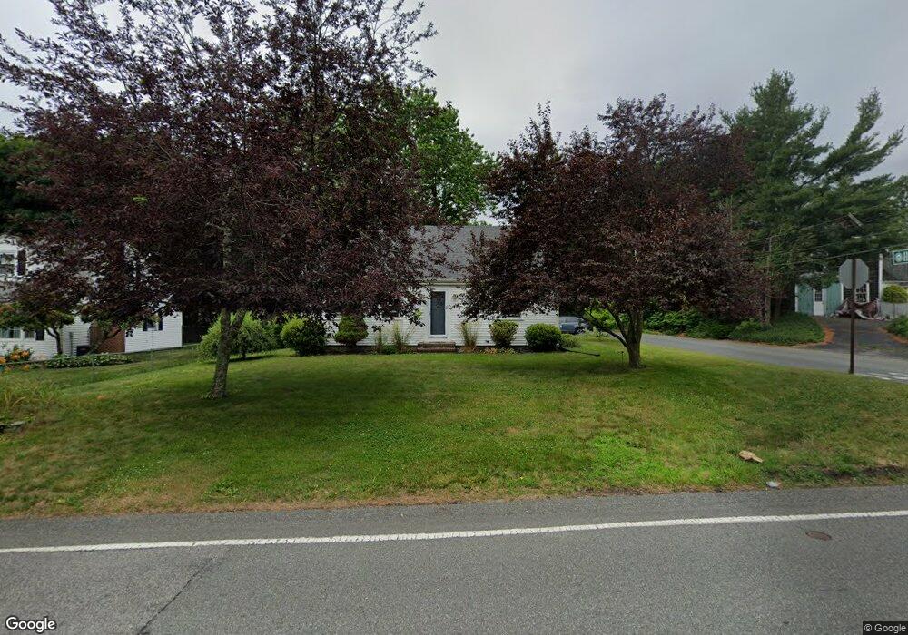
172 High St Whitman, MA 02382
Estimated Value: $560,000 - $819,000
3
Beds
1
Bath
2,014
Sq Ft
$326/Sq Ft
Est. Value
About This Home
This home is located at 172 High St, Whitman, MA 02382 and is currently estimated at $657,299, approximately $326 per square foot. 172 High St is a home located in Plymouth County with nearby schools including St Bridget School and Cardinal Spellman High School.
Ownership History
Date
Name
Owned For
Owner Type
Purchase Details
Closed on
Jun 6, 1997
Sold by
Est White Abbie J and Kaveney Cynthia
Bought by
Harrington Vaughn D and Harrington Susan M
Current Estimated Value
Home Financials for this Owner
Home Financials are based on the most recent Mortgage that was taken out on this home.
Original Mortgage
$110,000
Interest Rate
7.98%
Mortgage Type
Purchase Money Mortgage
Create a Home Valuation Report for This Property
The Home Valuation Report is an in-depth analysis detailing your home's value as well as a comparison with similar homes in the area
Home Values in the Area
Average Home Value in this Area
Purchase History
| Date | Buyer | Sale Price | Title Company |
|---|---|---|---|
| Harrington Vaughn D | $122,900 | -- |
Source: Public Records
Mortgage History
| Date | Status | Borrower | Loan Amount |
|---|---|---|---|
| Open | Harrington Vaughn D | $169,000 | |
| Closed | Harrington Vaughn D | $136,400 | |
| Closed | Harrington Vaughn D | $110,000 |
Source: Public Records
Tax History Compared to Growth
Tax History
| Year | Tax Paid | Tax Assessment Tax Assessment Total Assessment is a certain percentage of the fair market value that is determined by local assessors to be the total taxable value of land and additions on the property. | Land | Improvement |
|---|---|---|---|---|
| 2025 | $5,768 | $439,600 | $203,700 | $235,900 |
| 2024 | $5,393 | $423,300 | $199,800 | $223,500 |
| 2023 | $5,153 | $379,700 | $173,200 | $206,500 |
| 2022 | $5,081 | $349,000 | $157,500 | $191,500 |
| 2021 | $4,884 | $315,100 | $144,700 | $170,400 |
| 2020 | $4,790 | $302,200 | $137,800 | $164,400 |
| 2019 | $4,463 | $290,200 | $137,800 | $152,400 |
| 2018 | $4,303 | $268,800 | $129,900 | $138,900 |
| 2017 | $4,054 | $268,800 | $129,900 | $138,900 |
| 2016 | $3,841 | $246,400 | $123,000 | $123,400 |
| 2015 | $3,543 | $227,000 | $108,200 | $118,800 |
Source: Public Records
Map
Nearby Homes
- 300 High St
- 66 Belmont St
- 74 Forest St
- 360 High St
- 1098 Bedford St
- 90 Washington Terrace
- 91 Rice St
- 41 Clapp St
- 229 Washington Terrace
- 1142 Washington St
- 133 West St
- 14 Doris Dr
- 135-137 Temple St
- 262 Homeland Dr
- 877 Brockton Ave Unit 877
- 53 Temple St
- 501 Auburn St Unit 201
- 501 Auburn St Unit 401
- 14 Morrill St
- 967 Centre St
- 164 High St
- 164 High St
- 164 High St Unit 164
- 250 Pine St
- 182 High St
- 152 High St
- 16 Hutchinson Terrace
- 169 High St
- 22 Hutchinson Terrace
- 151 High St
- 191 High St
- 142 High St
- 26 Hutchinson Terrace
- 5 Hutchinson Terrace
- 200 High St
- 143 High St
- 13 Hutchinson Terrace
- 287 Pine St
- 287 Pine St Unit none
- 197 High St