172 Kendall Rd Troutman, NC 28166
Estimated Value: $212,000 - $575,032
3
Beds
1
Bath
1,040
Sq Ft
$431/Sq Ft
Est. Value
About This Home
This home is located at 172 Kendall Rd, Troutman, NC 28166 and is currently estimated at $447,758, approximately $430 per square foot. 172 Kendall Rd is a home located in Iredell County with nearby schools including Shepherd Elementary School, Troutman Middle School, and South Iredell High School.
Ownership History
Date
Name
Owned For
Owner Type
Purchase Details
Closed on
Sep 10, 2004
Sold by
Crellin Ryan and Menegio Anita
Bought by
Baxter John M and Baxter Michelle B
Current Estimated Value
Purchase Details
Closed on
Sep 23, 2003
Sold by
Overcash Dorothy B and Baxter Michelle B
Bought by
Crellin Ryan and Menegio Anita
Home Financials for this Owner
Home Financials are based on the most recent Mortgage that was taken out on this home.
Original Mortgage
$164,350
Interest Rate
5%
Mortgage Type
Purchase Money Mortgage
Purchase Details
Closed on
Jun 1, 1952
Create a Home Valuation Report for This Property
The Home Valuation Report is an in-depth analysis detailing your home's value as well as a comparison with similar homes in the area
Home Values in the Area
Average Home Value in this Area
Purchase History
| Date | Buyer | Sale Price | Title Company |
|---|---|---|---|
| Baxter John M | -- | -- | |
| Crellin Ryan | $173,000 | -- | |
| -- | -- | -- |
Source: Public Records
Mortgage History
| Date | Status | Borrower | Loan Amount |
|---|---|---|---|
| Previous Owner | Crellin Ryan | $164,350 |
Source: Public Records
Tax History
| Year | Tax Paid | Tax Assessment Tax Assessment Total Assessment is a certain percentage of the fair market value that is determined by local assessors to be the total taxable value of land and additions on the property. | Land | Improvement |
|---|---|---|---|---|
| 2025 | $2,350 | $388,140 | $194,400 | $193,740 |
| 2024 | $2,492 | $388,140 | $194,400 | $193,740 |
| 2023 | $2,350 | $388,140 | $194,400 | $193,740 |
| 2022 | $2,245 | $348,230 | $145,800 | $202,430 |
| 2021 | $2,241 | $348,230 | $145,800 | $202,430 |
| 2020 | $2,241 | $348,230 | $145,800 | $202,430 |
| 2019 | $2,206 | $348,230 | $145,800 | $202,430 |
| 2018 | $2,180 | $356,070 | $137,700 | $218,370 |
| 2017 | $2,180 | $356,070 | $137,700 | $218,370 |
| 2016 | $2,180 | $356,070 | $137,700 | $218,370 |
| 2015 | $2,180 | $356,070 | $137,700 | $218,370 |
| 2014 | $2,152 | $377,840 | $137,700 | $240,140 |
Source: Public Records
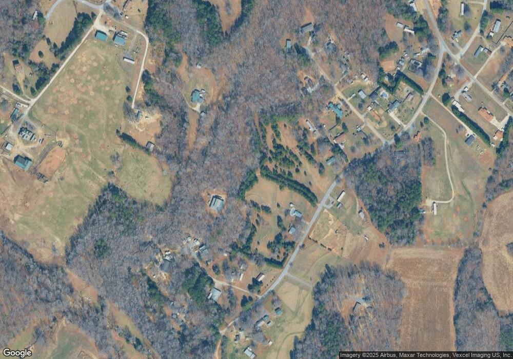
Map
Nearby Homes
- 111 Overcash Rd
- 370 Weathers Creek Rd
- 232 Sugar Hill Rd
- 220 Sugar Hill Rd
- 212 Sugar Hill Rd
- 115 Windstone Crossing Trail
- 144 Sugar Hill Rd
- 513 Weathers Creek Rd
- 112 Sugar Hill Rd
- 215 Browband St
- 193 Crownpiece St
- 172 Browband St
- 276 Ostwalt Amity Rd
- 117 Carmine Ct
- 116 Harborough Ave
- 142 Fairfield Dr
- 171 Crownpiece St
- 124 Benford Dr
- 181 Crosstie Ln
- 121 Crownpiece St
- 157 Kendall Rd
- 150 Kendall Rd
- 195 Kendall Rd Unit 201
- 146 Kendall Rd
- 207 Kendall Rd
- 119 Woodtree Ln
- 194 Kendall Rd
- 135 Kendall Rd
- 214 Kendall Rd
- 210 Kendall Rd
- 108 Woodtree Ln
- 119 Kendall Rd
- 212 Kendall Rd
- 129 Woodtree Ln
- 102 Woodtree Ln
- 126 Kendall Rd
- 122 Woodtree Ln
- 216 Kendall Rd
- 127 Tazmanian Dr
- 120 Kendall Rd
Your Personal Tour Guide
Ask me questions while you tour the home.