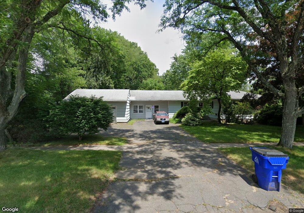
172 King Philip Dr West Hartford, CT 06117
Estimated Value: $470,000 - $515,000
4
Beds
3
Baths
2,004
Sq Ft
$245/Sq Ft
Est. Value
About This Home
This home is located at 172 King Philip Dr, West Hartford, CT 06117 and is currently estimated at $490,698, approximately $244 per square foot. 172 King Philip Dr is a home located in Hartford County with nearby schools including Aiken School, King Philip Middle School, and Delta High School.
Ownership History
Date
Name
Owned For
Owner Type
Purchase Details
Closed on
Dec 15, 1999
Sold by
Koton Helen
Bought by
Yeomans Douglas
Current Estimated Value
Home Financials for this Owner
Home Financials are based on the most recent Mortgage that was taken out on this home.
Original Mortgage
$136,350
Interest Rate
7.81%
Purchase Details
Closed on
Mar 28, 1996
Sold by
Classen Rose Est
Bought by
Veilleux Carl and Veilleux Charlene
Create a Home Valuation Report for This Property
The Home Valuation Report is an in-depth analysis detailing your home's value as well as a comparison with similar homes in the area
Home Values in the Area
Average Home Value in this Area
Purchase History
| Date | Buyer | Sale Price | Title Company |
|---|---|---|---|
| Yeomans Douglas | $151,500 | -- | |
| Veilleux Carl | $102,900 | -- |
Source: Public Records
Mortgage History
| Date | Status | Borrower | Loan Amount |
|---|---|---|---|
| Open | Veilleux Carl | $200,000 | |
| Closed | Veilleux Carl | $118,500 | |
| Closed | Veilleux Carl | $43,700 | |
| Closed | Veilleux Carl | $136,350 |
Source: Public Records
Tax History Compared to Growth
Tax History
| Year | Tax Paid | Tax Assessment Tax Assessment Total Assessment is a certain percentage of the fair market value that is determined by local assessors to be the total taxable value of land and additions on the property. | Land | Improvement |
|---|---|---|---|---|
| 2025 | $9,321 | $208,150 | $76,200 | $131,950 |
| 2024 | $8,815 | $208,150 | $76,200 | $131,950 |
| 2023 | $8,517 | $208,150 | $76,200 | $131,950 |
| 2022 | $8,468 | $208,150 | $76,200 | $131,950 |
| 2021 | $7,860 | $185,290 | $68,600 | $116,690 |
| 2020 | $7,488 | $179,130 | $60,900 | $118,230 |
| 2019 | $7,488 | $179,130 | $60,900 | $118,230 |
| 2018 | $7,344 | $179,130 | $60,900 | $118,230 |
| 2017 | $7,351 | $179,130 | $60,900 | $118,230 |
| 2016 | $7,088 | $179,410 | $57,680 | $121,730 |
| 2015 | $6,873 | $179,410 | $57,680 | $121,730 |
| 2014 | $6,705 | $179,410 | $57,680 | $121,730 |
Source: Public Records
Map
Nearby Homes
- 148 King Philip Dr
- 139 Mohawk Dr
- 50 Magnolia Hill
- 9 Timberwood Rd
- 11 Rye Ridge Pkwy
- 30 Farmstead Ln
- 365 Simsbury Rd
- 2581 Albany Ave
- 21 Barksdale Rd
- 47 Flagg Rd
- 62 Blue Ridge Ln
- 36 Richmond Ln
- 17 Cranbrook
- 3 Pilgrim Rd
- 11 Lawler Rd
- 645 Bloomfield Ave
- 537 Bloomfield Ave
- 2 Croydon Dr
- 12 Haviland Rd
- 10 Hosmer Dr
- 126 Fuller Dr
- 31 Old Meadow Rd
- 33 Old Meadow Rd
- 178 King Philip Dr
- 124 Fuller Dr
- 173 King Philip Dr
- 37 Old Meadow Rd
- 164 King Philip Dr
- 163 King Philip Dr
- 123 Fuller Dr
- 120 Fuller Dr
- 39 Old Meadow Rd
- 35 Tanglewood Rd
- 179 King Philip Dr
- 38 Tanglewood Rd
- 121 Fuller Dr
- 43 Old Meadow Rd
- 118 Fuller Dr
- 28 Old Meadow Rd
- 17 Old Meadow Rd