Estimated Value: $469,823 - $689,000
Studio
--
Bath
1
Sq Ft
$622,456/Sq Ft
Est. Value
About This Home
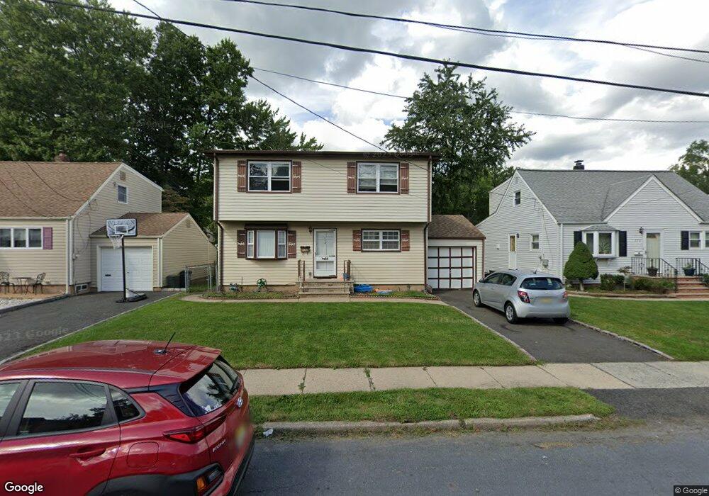
This home is located at 172 Locust Dr, Union, NJ 07083 and is currently estimated at $622,456, approximately $622,456 per square foot. 172 Locust Dr is a home located in Union County with nearby schools including Battle Hill Elementary School, Burnet Middle School, and Union High School.
Ownership History
Date
Name
Owned For
Owner Type
Purchase Details
Closed on
Jun 23, 2011
Sold by
Lyscynecky Alexander
Bought by
Colon Santos
Current Estimated Value
Home Financials for this Owner
Home Financials are based on the most recent Mortgage that was taken out on this home.
Original Mortgage
$305,065
Outstanding Balance
$209,018
Interest Rate
4.5%
Mortgage Type
FHA
Estimated Equity
$413,438
Purchase Details
Closed on
Jun 5, 1995
Sold by
Lysynecky Orest and Lysynecky Joanne
Bought by
Lysynecky Orest and Lysynecky Alexander
Create a Home Valuation Report for This Property
The Home Valuation Report is an in-depth analysis detailing your home's value as well as a comparison with similar homes in the area
Home Values in the Area
Average Home Value in this Area
Purchase History
| Date | Buyer | Sale Price | Title Company |
|---|---|---|---|
| Colon Santos | $313,000 | Stewart Title Guaranty Co | |
| Lysynecky Orest | -- | -- |
Source: Public Records
Mortgage History
| Date | Status | Borrower | Loan Amount |
|---|---|---|---|
| Open | Colon Santos | $305,065 |
Source: Public Records
Tax History
| Year | Tax Paid | Tax Assessment Tax Assessment Total Assessment is a certain percentage of the fair market value that is determined by local assessors to be the total taxable value of land and additions on the property. | Land | Improvement |
|---|---|---|---|---|
| 2025 | $10,863 | $48,600 | $20,300 | $28,300 |
| 2024 | $10,531 | $48,600 | $20,300 | $28,300 |
Source: Public Records
Map
Nearby Homes
- 148 Locust Dr
- 238 Riverside Dr
- 798 Pinewood Rd
- 750 Andover Rd
- 105 Battle Hill Ave
- 67 Battle Hill Ave
- 2705 Andrea Rd
- 787 Liberty Ave
- 2670 Bancroft Ave
- 960 Moessner Ave
- 20 Maple Ave
- 17 Alvin Terrace
- 2785 Larchmont Rd
- 1042 Battle Hill Terrace
- 2469 Macarthur Dr
- 20 Archbridge Ln
- 294 Mountain Ave
- 24 Brook St
- 1065 Liberty Ave
- 933 Douglas Terrace
Your Personal Tour Guide
Ask me questions while you tour the home.