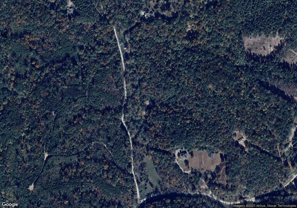
172 Long Branch Rd Ranger, GA 30734
Estimated Value: $241,000 - $479,000
1
Bed
1
Bath
810
Sq Ft
$404/Sq Ft
Est. Value
About This Home
This home is located at 172 Long Branch Rd, Ranger, GA 30734 and is currently estimated at $327,147, approximately $403 per square foot. 172 Long Branch Rd is a home located in Pickens County with nearby schools including Hill City Elementary School, Pickens County Middle School, and Pickens County High School.
Ownership History
Date
Name
Owned For
Owner Type
Purchase Details
Closed on
May 9, 2025
Sold by
Collis Rembert J
Bought by
Laroche Anglade Cole Carline and Anglade Cole Carline
Current Estimated Value
Purchase Details
Closed on
Jan 20, 2023
Sold by
Cole Micarleo Darnell
Bought by
Sally Bret and Sally Kelly
Purchase Details
Closed on
Jun 22, 2022
Sold by
Collis Rembert J
Bought by
Cole Micarleo Darnell and Anglade Cole Carline
Purchase Details
Closed on
Jan 9, 2001
Sold by
Willoughby Randy
Bought by
Collis Rembert J
Purchase Details
Closed on
Sep 16, 1997
Bought by
Willoughby Randy
Create a Home Valuation Report for This Property
The Home Valuation Report is an in-depth analysis detailing your home's value as well as a comparison with similar homes in the area
Home Values in the Area
Average Home Value in this Area
Purchase History
| Date | Buyer | Sale Price | Title Company |
|---|---|---|---|
| Laroche Anglade Cole Carline | -- | -- | |
| Sally Bret | -- | -- | |
| Cole Micarleo Darnell | $75,000 | -- | |
| Collis Rembert J | $90,000 | -- | |
| Willoughby Randy | $58,500 | -- |
Source: Public Records
Tax History Compared to Growth
Tax History
| Year | Tax Paid | Tax Assessment Tax Assessment Total Assessment is a certain percentage of the fair market value that is determined by local assessors to be the total taxable value of land and additions on the property. | Land | Improvement |
|---|---|---|---|---|
| 2024 | $446 | $65,294 | $35,996 | $29,298 |
| 2023 | $1,204 | $64,201 | $35,996 | $28,205 |
| 2022 | $370 | $54,801 | $37,107 | $17,694 |
| 2021 | $173 | $54,801 | $37,107 | $17,694 |
| 2020 | $173 | $54,801 | $37,107 | $17,694 |
| 2019 | $175 | $54,801 | $37,107 | $17,694 |
| 2018 | $174 | $54,801 | $37,107 | $17,694 |
| 2017 | $170 | $54,488 | $37,107 | $17,381 |
| 2016 | $170 | $53,290 | $35,910 | $17,381 |
| 2015 | $154 | $53,290 | $35,910 | $17,381 |
| 2014 | $153 | $53,290 | $35,910 | $17,381 |
| 2013 | -- | $53,290 | $35,909 | $17,380 |
Source: Public Records
Map
Nearby Homes
- 5 WEST Dry Pond Rd
- 3 WEST Dry Pond Rd
- 2 WEST Dry Pond Rd
- 2 EAST Dry Pond Rd Unit LOT 2 EAST
- 6 WEST Dry Pond Rd
- 4 WEST Dry Pond Rd
- 1 EAST Dry Pond Rd
- 2961 Black Knob Church Rd
- 523 Long Branch Rd
- 3199 Big Ridge Rd
- Lot 8 Long Branch Trail
- 50 Damascus Rd
- 1251 Bar T Ranch Rd
- 2073 Big Ridge Rd
- 1575 Davis Rd W
- 0 Vista Creek Dr Unit 418544
- 0 Vista Creek Dr Unit 7644601
- 0 Vista Creek Dr Unit 10598659
- 1344 Hunter Dr
- 1345 Hunter Dr
- 5 Long Branch Rd
- 3 Long Branch Rd
- 1 Long Branch Rd
- 2 Long Branch Rd
- 1027 Damascus Rd
- 1080 Damascus Rd
- 1174 Damascus Rd
- 2479 Damascus Rd
- 0 Damascus Rd Unit 7342555
- 0 Damascus Rd Unit 401661
- 927 Damascus Rd
- 0 Damascus Rd Unit 7073105
- 1387 Damascus Rd
- 956 Long Branch Rd
- 123 Sloth Mountain Trail
- 2780 Black Knob Church Rd
- 2650 Black Knob Church Rd
- 2968 Black Knob Church Rd
- 396 Long Branch Rd
- 363 Long Branch Rd
