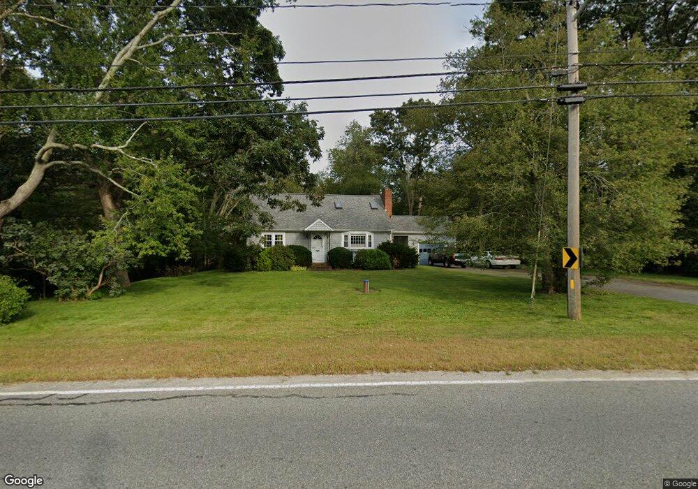
172 Main Rd Westport, MA 02790
Brownell/Giffords Corner NeighborhoodEstimated Value: $656,000 - $784,384
3
Beds
--
Bath
1,729
Sq Ft
$423/Sq Ft
Est. Value
About This Home
This home is located at 172 Main Rd, Westport, MA 02790 and is currently estimated at $730,846, approximately $422 per square foot. 172 Main Rd is a home located in Bristol County with nearby schools including Alice A. Macomber Primary School, Westport Elementary School, and Westport Middle-High School.
Ownership History
Date
Name
Owned For
Owner Type
Purchase Details
Closed on
Nov 29, 2021
Sold by
Azevedo Carl M and Azevedo Arthur R
Bought by
Azevedo Carl M and Sullivan Paul A
Current Estimated Value
Purchase Details
Closed on
Oct 27, 2009
Sold by
Azevedo Carl M
Bought by
Azevedo Carl M and Sullivan Paula A
Purchase Details
Closed on
May 9, 2007
Sold by
Burke Carol A
Bought by
Azevedo Carl M
Create a Home Valuation Report for This Property
The Home Valuation Report is an in-depth analysis detailing your home's value as well as a comparison with similar homes in the area
Home Values in the Area
Average Home Value in this Area
Purchase History
| Date | Buyer | Sale Price | Title Company |
|---|---|---|---|
| Azevedo Carl M | -- | None Available | |
| Azevedo Carl M | -- | -- | |
| Azevedo Carl M | $103,500 | -- |
Source: Public Records
Mortgage History
| Date | Status | Borrower | Loan Amount |
|---|---|---|---|
| Previous Owner | Azevedo Carl M | $13,000 | |
| Previous Owner | Azevedo Carl M | $50,000 | |
| Previous Owner | Azevedo Carl M | $10,215 |
Source: Public Records
Tax History Compared to Growth
Tax History
| Year | Tax Paid | Tax Assessment Tax Assessment Total Assessment is a certain percentage of the fair market value that is determined by local assessors to be the total taxable value of land and additions on the property. | Land | Improvement |
|---|---|---|---|---|
| 2025 | $4,267 | $572,700 | $341,100 | $231,600 |
| 2024 | $4,177 | $540,400 | $313,700 | $226,700 |
| 2023 | $3,983 | $488,100 | $278,300 | $209,800 |
| 2022 | $3,872 | $456,600 | $278,300 | $178,300 |
| 2021 | $3,707 | $430,000 | $252,500 | $177,500 |
| 2020 | $3,475 | $412,200 | $234,700 | $177,500 |
| 2019 | $3,348 | $404,800 | $234,700 | $170,100 |
| 2018 | $3,420 | $418,600 | $262,900 | $155,700 |
| 2017 | $3,325 | $417,200 | $259,200 | $158,000 |
| 2016 | $3,218 | $406,800 | $255,400 | $151,400 |
| 2015 | $3,120 | $393,500 | $248,200 | $145,300 |
Source: Public Records
Map
Nearby Homes
- 994 State
- 4 Main Rd
- 0 Hidden Glen Ln
- 118 Charlotte White Rd
- 118 Charlotte White Rd Extension
- 47 Fallon Dr
- 8 Strawberry Ln
- 6 Angel Ct
- 27 Dias Ave
- 380 Gifford Rd
- 978 Sodom Rd
- 15 Village Way
- 771 Sanford Rd
- 7 Village Way
- 218 American Legion Hwy
- 8 Village Way
- 2 Magnolia Ln
- 96 Forge Rd
- 29 Union Ave
- 3 Roller Coaster Way Unit Lot 1
- 178 Main Rd
- 181 Main Rd
- 16 Benjamin Tripp Rd
- 190 Main Rd
- 193 Main Rd
- 196 Main Rd
- 10 Benjamin Tripp Rd
- 33 Benjamin Tripp Rd
- 135 Main Rd
- 000 Confidential
- 000 Kettle Corn
- 0 Halesworth Ln Unit 71362487
- 0 Halesworth Ln Unit 71451304
- Lot 7 Rita Ln
- 0 Halesworth Ln Unit 71615362
- lot 41 R Berard Ct
- 442 & 0 River Rd
- Lot 1 Harvest Hill Rd
- LOT 7 Bentley Ln
- Lot 1 Rita Ln