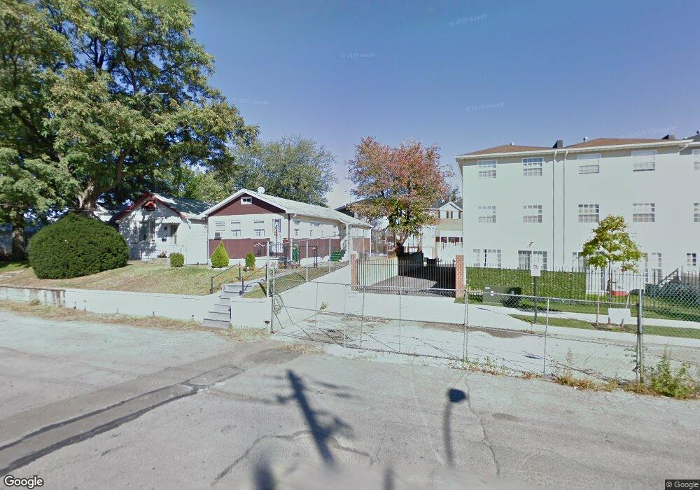
172 Mermaid Ln Unit 267 Bronx, NY 10473
Clason Point NeighborhoodEstimated Value: $434,141 - $604,000
--
Bed
--
Bath
991
Sq Ft
$500/Sq Ft
Est. Value
About This Home
This home is located at 172 Mermaid Ln Unit 267, Bronx, NY 10473 and is currently estimated at $495,535, approximately $500 per square foot. 172 Mermaid Ln Unit 267 is a home located in Bronx County with nearby schools including P.S. 182 and Holy Cross Elementary School.
Ownership History
Date
Name
Owned For
Owner Type
Purchase Details
Closed on
Nov 3, 2021
Sold by
Estate Of Mary Overton and Richburg Sheila
Bought by
Vargas Yanesa
Current Estimated Value
Home Financials for this Owner
Home Financials are based on the most recent Mortgage that was taken out on this home.
Original Mortgage
$346,500
Outstanding Balance
$317,507
Interest Rate
2.99%
Mortgage Type
Purchase Money Mortgage
Estimated Equity
$178,028
Purchase Details
Closed on
Apr 29, 2010
Sold by
Beechwood Rb Shorehaven Llc
Bought by
Overton Mary
Home Financials for this Owner
Home Financials are based on the most recent Mortgage that was taken out on this home.
Original Mortgage
$320,512
Interest Rate
5.11%
Mortgage Type
Purchase Money Mortgage
Create a Home Valuation Report for This Property
The Home Valuation Report is an in-depth analysis detailing your home's value as well as a comparison with similar homes in the area
Home Values in the Area
Average Home Value in this Area
Purchase History
| Date | Buyer | Sale Price | Title Company |
|---|---|---|---|
| Vargas Yanesa | $385,000 | -- | |
| Overton Mary | $354,900 | -- |
Source: Public Records
Mortgage History
| Date | Status | Borrower | Loan Amount |
|---|---|---|---|
| Open | Vargas Yanesa | $346,500 | |
| Previous Owner | Overton Mary | $320,512 |
Source: Public Records
Tax History Compared to Growth
Tax History
| Year | Tax Paid | Tax Assessment Tax Assessment Total Assessment is a certain percentage of the fair market value that is determined by local assessors to be the total taxable value of land and additions on the property. | Land | Improvement |
|---|---|---|---|---|
| 2025 | $957 | $25,441 | $450 | $24,991 |
| 2024 | $957 | $9,332 | $488 | $8,844 |
| 2023 | $968 | $20,309 | $1,228 | $19,081 |
| 2022 | $951 | $18,867 | $1,228 | $17,639 |
| 2021 | $0 | $17,387 | $1,228 | $16,159 |
| 2020 | $1,009 | $16,649 | $1,228 | $15,421 |
| 2019 | $997 | $17,518 | $1,228 | $16,290 |
| 2018 | $971 | $7,696 | $538 | $7,158 |
| 2017 | $971 | $7,261 | $551 | $6,710 |
| 2016 | $953 | $6,850 | $526 | $6,324 |
| 2015 | $651 | $6,481 | $672 | $5,809 |
| 2014 | $651 | $6,481 | $807 | $5,674 |
Source: Public Records
Map
Nearby Homes
- 106 Bolton Ave Unit 1
- 160 Stephens Ave
- 227 Stephens Ave
- 109 Fleet Ct
- 1524 Harding Park
- 1540 Harding Park
- 100 Neptune Ln Unit 15100
- 246 Soundview Ave
- 230 Sunset Blvd Unit 12230
- 112 Sunset Blvd Unit 11112
- 109 Neptune Ln Unit 5
- 252 Soundview Ave
- 1329 Harding Park
- 250 Newman Ave
- 127 Husson Ave
- 618 Harding Park
- 132 Sunset Blvd Unit 11132
- 216 Pugsley Ave
- 142 Husson Ave
- 109 Dolphin Ct
- 172 Mermaid Ln Unit 174
- 172 Mermaid Ln Unit 267
- 174 Mermaid Ln
- 171 Mermaid Ln Unit 174
- 171 Mermaid Ln Unit 266
- 174 Mermaid Ln Unit 268
- 168 Mermaid Ln Unit 174
- 168 Mermaid Ln Unit 269
- 168 Mermaid Ln Unit 269
- 167 Mermaid Ln Unit 174
- 167 Mermaid Ln Unit 264
- 164 Mermaid Ln Unit 174
- 164 Mermaid Ln Unit 271
- 163 Mermaid Ln Unit 174
- 163 Mermaid Ln Unit 262
- 48 White Plains Rd
- 160 Mermaid Ln Unit 174
- 160 Mermaid Ln Unit 273
- 159 Mermaid Ln Unit 174
- 156 Mermaid Ln Unit 174