172 Mountain Path Dahlonega, GA 30533
Estimated Value: $374,000 - $455,000
Studio
2
Baths
2,400
Sq Ft
$166/Sq Ft
Est. Value
About This Home
This home is located at 172 Mountain Path, Dahlonega, GA 30533 and is currently estimated at $397,620, approximately $165 per square foot. 172 Mountain Path is a home located in Lumpkin County with nearby schools including Lumpkin County High School.
Ownership History
Date
Name
Owned For
Owner Type
Purchase Details
Closed on
Jan 17, 2007
Sold by
Not Provided
Bought by
Laramore Kimberly
Current Estimated Value
Home Financials for this Owner
Home Financials are based on the most recent Mortgage that was taken out on this home.
Original Mortgage
$169,600
Outstanding Balance
$97,956
Interest Rate
6.07%
Mortgage Type
New Conventional
Estimated Equity
$299,664
Purchase Details
Closed on
Jul 28, 2006
Sold by
Not Provided
Bought by
Laramore Kimberly
Purchase Details
Closed on
Jun 2, 2005
Bought by
Williams Ernest G Etal
Create a Home Valuation Report for This Property
The Home Valuation Report is an in-depth analysis detailing your home's value as well as a comparison with similar homes in the area
Home Values in the Area
Average Home Value in this Area
Purchase History
| Date | Buyer | Sale Price | Title Company |
|---|---|---|---|
| Laramore Kimberly | -- | -- | |
| Laramore Kimberly | $212,000 | -- | |
| Laramore Kimberly | $70,500 | -- | |
| Williams Ernest G Etal | -- | -- |
Source: Public Records
Mortgage History
| Date | Status | Borrower | Loan Amount |
|---|---|---|---|
| Open | Laramore Kimberly | $169,600 | |
| Closed | Laramore Kimberly | $169,600 |
Source: Public Records
Tax History
| Year | Tax Paid | Tax Assessment Tax Assessment Total Assessment is a certain percentage of the fair market value that is determined by local assessors to be the total taxable value of land and additions on the property. | Land | Improvement |
|---|---|---|---|---|
| 2025 | $2,980 | $134,163 | $10,000 | $124,163 |
| 2024 | $2,980 | $124,858 | $10,000 | $114,858 |
| 2023 | $2,738 | $116,398 | $10,000 | $106,398 |
| 2022 | $2,705 | $109,278 | $10,000 | $99,278 |
| 2021 | $2,329 | $90,972 | $10,000 | $80,972 |
| 2020 | $2,331 | $88,360 | $10,000 | $78,360 |
| 2019 | $2,352 | $88,360 | $10,000 | $78,360 |
| 2018 | $2,243 | $79,071 | $10,000 | $69,071 |
| 2017 | $2,159 | $74,649 | $10,000 | $64,649 |
| 2016 | $2,035 | $68,053 | $10,000 | $58,053 |
| 2015 | $1,813 | $68,053 | $10,000 | $58,053 |
| 2014 | $1,813 | $68,787 | $10,000 | $58,787 |
| 2013 | -- | $69,566 | $10,000 | $59,566 |
Source: Public Records
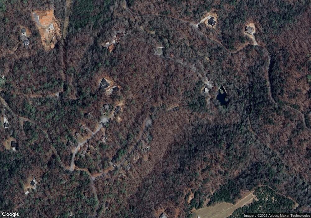
Map
Nearby Homes
- 496 Beaver Dam Rd
- 0 Porter Springs Rd Unit 7685063
- 0 Porter Springs Rd Unit 10648400
- 165 Porter Springs Rd
- 377 Soldiers Path
- 0 Bearden Rd Unit 10598024
- 0 Bearden Rd Unit 7642996
- 859 Mountain Ridge Dr
- 1323 Cavender Creek Rd
- 300 Mountain Ridge Dr
- 302 Pointe Cir
- 0 Winters Mountain Rd Unit 10708941
- 0 Dry Hollow Rd Unit 10667069
- 0 Dry Hollow Rd Unit 7699624
- 7.123 Acres Halls Mill Rd
- 0 Trail W
- 0 Dogwood Ct Unit 7734485
- 0 Dogwood Ct Unit 10711091
- 110 Howard Ln
- 16 Welch Cir
- 168 Mountain Path Unit 13
- 168 Mountain Path
- 168 Mountain Path
- 136 Mountain Path
- 130 Rocktree Overlook
- 130 Rocktree Overlook Unit 6
- 120 Mountain Path Unit 16
- 120 Mountain Path
- 125 Rocktree Overlook
- 490 Beaver Dam Rd
- 385 Beaver Dam Rd
- 415 Beaver Dam Rd
- 110 Rocktree Overlook
- 55 Mountain Path
- 366 Beaver Dam Rd
- 486 Beaver Dam Rd
- 102 Mountain Path Unit 17
- 102 Mountain Path
- 435 Beaver Dam Rd
- 488 Beaver Dam Rd
Your Personal Tour Guide
Ask me questions while you tour the home.