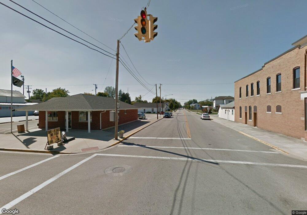
172 N Main St Rutland, OH 45775
Estimated Value: $94,229 - $107,000
3
Beds
2
Baths
1,442
Sq Ft
$69/Sq Ft
Est. Value
About This Home
This home is located at 172 N Main St, Rutland, OH 45775 and is currently estimated at $99,307, approximately $68 per square foot. 172 N Main St is a home located in Meigs County with nearby schools including Meigs Primary School, Meigs Intermediate School, and Meigs Middle School.
Ownership History
Date
Name
Owned For
Owner Type
Purchase Details
Closed on
Jun 1, 2011
Sold by
Vance Lowell E and Vance Margaret R
Bought by
Vance Lowell E and Vance Margaret R
Current Estimated Value
Purchase Details
Closed on
Aug 8, 2007
Sold by
Schuler Wanda
Bought by
Vance Lowell E and Vance Margaret R
Purchase Details
Closed on
Apr 12, 2007
Sold by
Schuler Pollyanna and Strupe Pollyanna
Bought by
Schuler Wanda
Purchase Details
Closed on
Feb 8, 2002
Bought by
Vance Margaret R Trustee Vance Lowell E
Create a Home Valuation Report for This Property
The Home Valuation Report is an in-depth analysis detailing your home's value as well as a comparison with similar homes in the area
Home Values in the Area
Average Home Value in this Area
Purchase History
| Date | Buyer | Sale Price | Title Company |
|---|---|---|---|
| Vance Lowell E | -- | None Available | |
| Vance Lowell E | $8,500 | None Available | |
| Schuler Wanda | -- | None Available | |
| Vance Margaret R Trustee Vance Lowell E | $8,500 | -- |
Source: Public Records
Tax History Compared to Growth
Tax History
| Year | Tax Paid | Tax Assessment Tax Assessment Total Assessment is a certain percentage of the fair market value that is determined by local assessors to be the total taxable value of land and additions on the property. | Land | Improvement |
|---|---|---|---|---|
| 2024 | $593 | $15,730 | $4,240 | $11,490 |
| 2023 | $593 | $15,730 | $4,240 | $11,490 |
| 2022 | $594 | $15,730 | $4,240 | $11,490 |
| 2021 | $618 | $14,350 | $4,240 | $10,110 |
| 2020 | $589 | $14,350 | $4,240 | $10,110 |
| 2019 | $589 | $14,350 | $4,240 | $10,110 |
| 2018 | $498 | $12,640 | $2,830 | $9,810 |
| 2017 | $498 | $12,640 | $2,830 | $9,810 |
| 2016 | $493 | $12,640 | $2,830 | $9,810 |
| 2014 | $554 | $14,030 | $2,270 | $11,760 |
| 2013 | $554 | $14,030 | $2,270 | $11,760 |
Source: Public Records
Map
Nearby Homes
- 173 Salem St
- 235 231229 Salem
- 73 Locust St
- 17 Beech Grove Rd
- 32971 Beech Grove Rd
- 32964 Parkinson Rd Unit (Tract 6 at Titus)
- 34682 Swick Rd
- 34316 Beech Grove Rd
- 0 Swick Rd
- 32290 Bailey Run Rd
- 33475 Bailey Run Rd
- 0 Parkinson Rd Unit (Tract 8 at Titus)
- 0 Parkinson Rd Unit 21532380
- 35857 Paulins Hill Rd
- 31365 T-174
- 1400 Keller Rd
- 37245 T 346
- 33062 Dexter Rd
- 39059 Ohio 143
- 32204 Titus Rd
