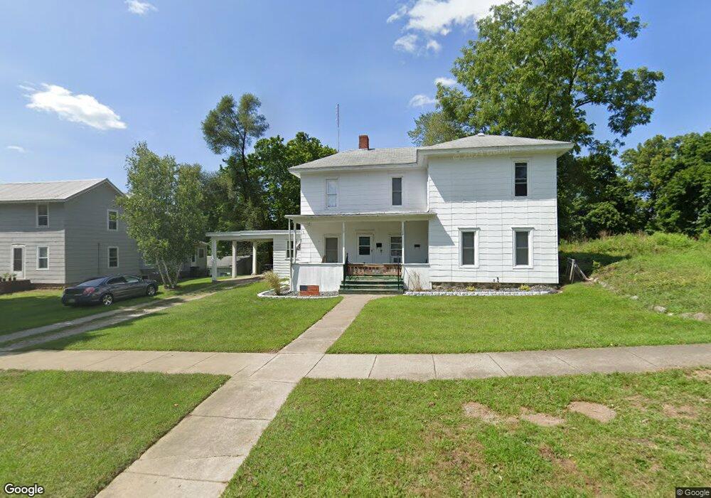
172 N Manning St Hillsdale, MI 49242
Estimated Value: $137,000 - $222,000
6
Beds
2
Baths
1,556
Sq Ft
$119/Sq Ft
Est. Value
About This Home
This home is located at 172 N Manning St, Hillsdale, MI 49242 and is currently estimated at $184,573, approximately $118 per square foot. 172 N Manning St is a home located in Hillsdale County with nearby schools including Bailey Early Childhood Center, Gier Elementary School, and Davis Middle School.
Ownership History
Date
Name
Owned For
Owner Type
Purchase Details
Closed on
Jul 11, 2023
Sold by
Taylor Kimberly
Bought by
Schaffner Blake
Current Estimated Value
Purchase Details
Closed on
Jun 30, 2023
Sold by
Taylor Deborah L
Bought by
Taylor Donald Joseph
Purchase Details
Closed on
Dec 9, 2014
Sold by
Taylor Deborah L
Bought by
Taylor Donald J
Home Financials for this Owner
Home Financials are based on the most recent Mortgage that was taken out on this home.
Original Mortgage
$48,813
Interest Rate
3.99%
Mortgage Type
Future Advance Clause Open End Mortgage
Purchase Details
Closed on
Jan 5, 1999
Sold by
Ames Weldon D and Ames Carol A
Bought by
Taylor Donald J and Taylor Deborah L
Purchase Details
Closed on
Dec 21, 1988
Sold by
Rose Richard L and Rose Donald W
Bought by
Ames Weldon D and Ames Carol A
Create a Home Valuation Report for This Property
The Home Valuation Report is an in-depth analysis detailing your home's value as well as a comparison with similar homes in the area
Home Values in the Area
Average Home Value in this Area
Purchase History
| Date | Buyer | Sale Price | Title Company |
|---|---|---|---|
| Schaffner Blake | $50,000 | Midstate Title | |
| Taylor Donald Joseph | -- | Midstate Title | |
| Taylor Donald J | -- | None Available | |
| Taylor Donald J | $62,000 | -- | |
| Ames Weldon D | $32,000 | -- |
Source: Public Records
Mortgage History
| Date | Status | Borrower | Loan Amount |
|---|---|---|---|
| Previous Owner | Taylor Donald J | $48,813 |
Source: Public Records
Tax History Compared to Growth
Tax History
| Year | Tax Paid | Tax Assessment Tax Assessment Total Assessment is a certain percentage of the fair market value that is determined by local assessors to be the total taxable value of land and additions on the property. | Land | Improvement |
|---|---|---|---|---|
| 2025 | $3,367 | $80,500 | $0 | $0 |
| 2024 | $2,723 | $62,500 | $0 | $0 |
| 2023 | $2,751 | $62,500 | $0 | $0 |
| 2022 | $2,155 | $49,000 | $0 | $0 |
| 2021 | $2,105 | $47,200 | $0 | $0 |
| 2020 | $2,052 | $40,900 | $0 | $0 |
| 2019 | $2,001 | $49,900 | $0 | $0 |
| 2018 | $1,894 | $39,100 | $0 | $0 |
| 2017 | $1,839 | $47,100 | $0 | $0 |
| 2016 | $1,726 | $31,900 | $0 | $0 |
| 2015 | $1,242 | $31,900 | $0 | $0 |
| 2013 | -- | $35,710 | $0 | $0 |
| 2012 | -- | $32,030 | $0 | $0 |
Source: Public Records
Map
Nearby Homes
- 168 N Manning St
- 178 N Manning St
- 205 N Manning St
- 162 N Manning St Unit 164
- 171 N Manning St
- 173 N Manning St
- 179 N Manning St
- 165 N Manning St
- 186 N Manning St
- 163 N Manning St
- 160 N Manning St
- 161 N Manning St
- 10 E Fayette St
- 183 N West St
- 181 N West St
- 187 N West St
- 177 N West St
- 158 N Manning St
- 183 North W
- 171 N West St