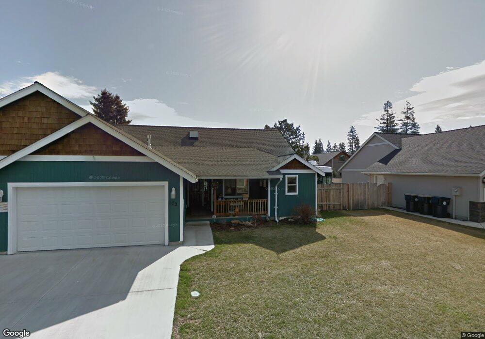
172 N Maple Ln Sisters, OR 97759
Estimated Value: $582,000 - $666,000
3
Beds
2
Baths
1,618
Sq Ft
$380/Sq Ft
Est. Value
About This Home
This home is located at 172 N Maple Ln, Sisters, OR 97759 and is currently estimated at $615,565, approximately $380 per square foot. 172 N Maple Ln is a home located in Deschutes County with nearby schools including Sisters Elementary School, Sisters Middle School, and Sisters High School.
Ownership History
Date
Name
Owned For
Owner Type
Purchase Details
Closed on
Aug 10, 2007
Sold by
Freedom Foundation Of Oregon Inc
Bought by
Ault Steven E and Ault Becky M
Current Estimated Value
Home Financials for this Owner
Home Financials are based on the most recent Mortgage that was taken out on this home.
Original Mortgage
$265,500
Outstanding Balance
$165,423
Interest Rate
6.62%
Mortgage Type
Unknown
Estimated Equity
$450,142
Create a Home Valuation Report for This Property
The Home Valuation Report is an in-depth analysis detailing your home's value as well as a comparison with similar homes in the area
Home Values in the Area
Average Home Value in this Area
Purchase History
| Date | Buyer | Sale Price | Title Company |
|---|---|---|---|
| Ault Steven E | $295,000 | Amerititle |
Source: Public Records
Mortgage History
| Date | Status | Borrower | Loan Amount |
|---|---|---|---|
| Open | Ault Steven E | $265,500 |
Source: Public Records
Tax History
| Year | Tax Paid | Tax Assessment Tax Assessment Total Assessment is a certain percentage of the fair market value that is determined by local assessors to be the total taxable value of land and additions on the property. | Land | Improvement |
|---|---|---|---|---|
| 2025 | $4,339 | $261,480 | -- | -- |
| 2024 | $4,203 | $253,870 | -- | -- |
| 2023 | $4,084 | $246,480 | $0 | $0 |
| 2022 | $3,796 | $232,340 | $0 | $0 |
| 2021 | $3,836 | $225,580 | $0 | $0 |
| 2020 | $3,647 | $225,580 | $0 | $0 |
| 2019 | $3,557 | $219,010 | $0 | $0 |
| 2018 | $3,442 | $212,640 | $0 | $0 |
| 2017 | $3,323 | $206,450 | $0 | $0 |
| 2016 | $3,277 | $200,440 | $0 | $0 |
| 2015 | $3,076 | $194,610 | $0 | $0 |
| 2014 | $2,975 | $188,950 | $0 | $0 |
Source: Public Records
Map
Nearby Homes
- 973 E Cascade Ave
- 405 S Timber Creek Dr
- 1005 E Horse Back Trail
- 952 E Timber Pine Dr
- 410 S Timber Creek Dr
- 936 E Black Butte Ave
- 1025 E Horse Back Trail
- 988 E Black Butte Ave Unit 30
- 358 S Cedar St
- 1041 E Timber Pine Dr
- 1094 E Horse Back Trail
- 0 N Spruce St
- 1078 E Black Butte Ave
- 180 S Spruce St
- 347 E Jefferson Ave
- 813 E Desperado Trail Unit 102
- 693 E Tyler Ave
- 714 S Wrangler Ct
- 771 S Wrangler Ct
- 887 S Starry Skies Ct
- 222 N Maple Ln
- 232 N Maple Ln
- 175 N Tamarack St
- 162 N Maple Ln
- 205 N Tamarack St
- 171 N Maple Ln
- 215 N Tamarack St
- 211 N Maple Ln
- 155 N Tamarack St
- 149 N Maple Ln
- 145 N Tamarack St
- 235 N Maple Ln
- 135 N Tamarack St
- 170 N Maple St
- 170 N Maple Ln
- 210 N Maple St
- 210 N Maple Ln
- 771 E Green Ridge Ave
- 773 E Green Ridge Ave
Your Personal Tour Guide
Ask me questions while you tour the home.