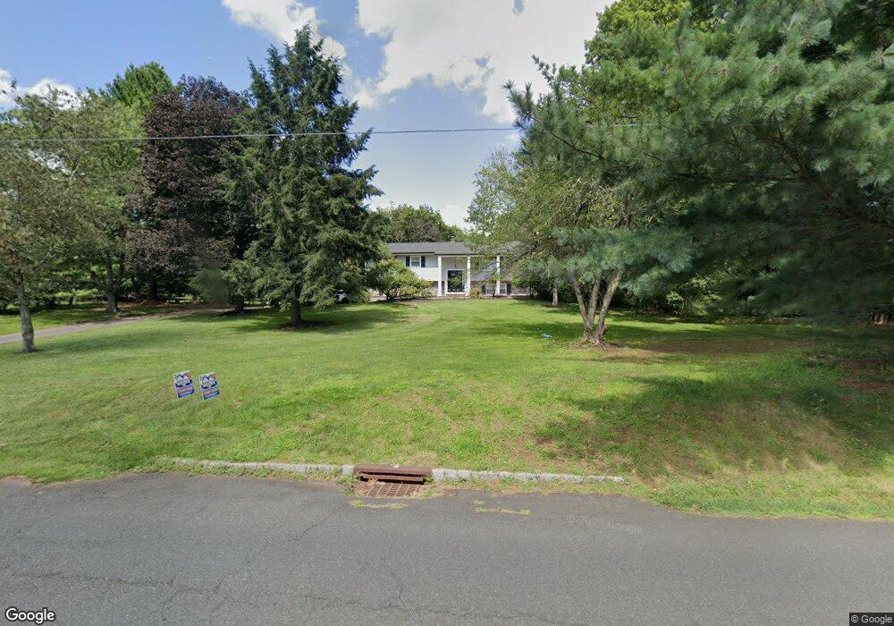
172 Orchard Rd Skillman, NJ 08558
Estimated Value: $690,431 - $808,000
4
Beds
3
Baths
1,972
Sq Ft
$381/Sq Ft
Est. Value
About This Home
This home is located at 172 Orchard Rd, Skillman, NJ 08558 and is currently estimated at $752,108, approximately $381 per square foot. 172 Orchard Rd is a home located in Somerset County with nearby schools including Orchard Hill Elementary School, Montgomery Lower Mid School, and Village Elementary School.
Ownership History
Date
Name
Owned For
Owner Type
Purchase Details
Closed on
Feb 6, 2009
Sold by
Mayo Daniel A and Mayo Jodi A
Bought by
Casciano Anthony and Casciano Rebecca
Current Estimated Value
Home Financials for this Owner
Home Financials are based on the most recent Mortgage that was taken out on this home.
Original Mortgage
$230,000
Outstanding Balance
$146,628
Interest Rate
5.26%
Mortgage Type
Purchase Money Mortgage
Estimated Equity
$605,480
Purchase Details
Closed on
Jun 30, 1998
Sold by
Nevins Ellen Elizabeth
Bought by
Mayo Daniel A and Mayo Jodi A
Home Financials for this Owner
Home Financials are based on the most recent Mortgage that was taken out on this home.
Original Mortgage
$177,000
Interest Rate
7.04%
Purchase Details
Closed on
Nov 21, 1988
Sold by
Mcintire John S and Mcintire Elizabeth A
Bought by
Nevins Ellen E
Create a Home Valuation Report for This Property
The Home Valuation Report is an in-depth analysis detailing your home's value as well as a comparison with similar homes in the area
Home Values in the Area
Average Home Value in this Area
Purchase History
| Date | Buyer | Sale Price | Title Company |
|---|---|---|---|
| Casciano Anthony | $480,000 | Multiple | |
| Mayo Daniel A | $221,500 | -- | |
| Nevins Ellen E | $194,000 | -- |
Source: Public Records
Mortgage History
| Date | Status | Borrower | Loan Amount |
|---|---|---|---|
| Open | Casciano Anthony | $230,000 | |
| Previous Owner | Mayo Daniel A | $177,000 |
Source: Public Records
Tax History Compared to Growth
Tax History
| Year | Tax Paid | Tax Assessment Tax Assessment Total Assessment is a certain percentage of the fair market value that is determined by local assessors to be the total taxable value of land and additions on the property. | Land | Improvement |
|---|---|---|---|---|
| 2025 | $12,882 | $376,000 | $237,000 | $139,000 |
| 2024 | $12,882 | $376,000 | $237,000 | $139,000 |
| 2023 | $12,870 | $376,000 | $237,000 | $139,000 |
| 2022 | $12,115 | $376,000 | $237,000 | $139,000 |
| 2021 | $12,013 | $376,000 | $237,000 | $139,000 |
| 2020 | $11,915 | $376,000 | $237,000 | $139,000 |
| 2019 | $11,836 | $376,000 | $237,000 | $139,000 |
| 2018 | $11,562 | $376,000 | $237,000 | $139,000 |
| 2017 | $11,363 | $376,000 | $237,000 | $139,000 |
| 2016 | $11,163 | $376,000 | $237,000 | $139,000 |
| 2015 | $10,908 | $376,000 | $237,000 | $139,000 |
| 2014 | $10,776 | $376,000 | $237,000 | $139,000 |
Source: Public Records
Map
Nearby Homes
- 1723 Us Highway 206
- 28 Bedford Dr
- 74 Dublin Rd
- 2 E Hartwick Dr
- 17 E Hartwick Dr
- 106 Village Dr
- 110 Village Dr
- 108 Village Dr
- 112 Village Dr
- 59 Montgomery Rd
- 16 Dorland Farm Ct
- 18 Oxford Cir
- 2 Washington St
- 00 Route 518
- 44 Bridle Path
- 43 Dead Tree Run Rd
- 95 Cherry Brook Dr
- 167 Dead Tree Run Rd
- 325 Mountain View Rd
- 0 Mountain View Rd
- 164 Orchard Rd
- 14 Doe Ct
- 15 Doe Ct
- 173 Orchard Rd
- 167 Orchard Rd
- 156 Orchard Rd
- 181 Orchard Rd
- 188 Orchard Rd
- 31 Pheasant Run Dr
- 189 Orchard Rd
- 39 Pheasant Run Dr
- 155 Orchard Rd
- 194 Orchard Rd
- 45 Pheasant Run Dr
- 190 Orchard Rd
- 148 Orchard Rd
- 25 Pheasant Run Dr
- 51 Pheasant Run Dr
- 19 Lilac Way
- 145 Orchard Rd