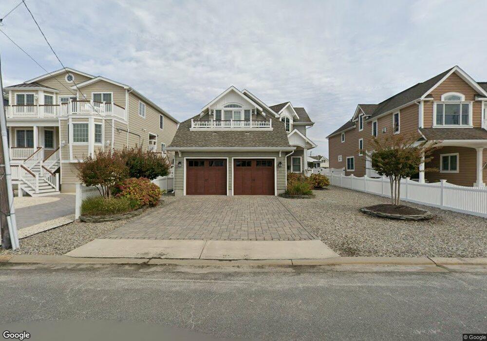
172 Pershing Blvd Lavallette, NJ 08735
Estimated Value: $1,081,000 - $2,677,000
3
Beds
3
Baths
2,847
Sq Ft
$666/Sq Ft
Est. Value
About This Home
This home is located at 172 Pershing Blvd, Lavallette, NJ 08735 and is currently estimated at $1,896,946, approximately $666 per square foot. 172 Pershing Blvd is a home with nearby schools including Lavallette Elementary School.
Ownership History
Date
Name
Owned For
Owner Type
Purchase Details
Closed on
Mar 7, 2008
Sold by
Magno Dave and Magno Heidi
Bought by
Minish James and Minish Victoria
Current Estimated Value
Purchase Details
Closed on
Apr 14, 2004
Sold by
Zanyor Josephine
Bought by
Magno Dave and Soellner Heidi
Home Financials for this Owner
Home Financials are based on the most recent Mortgage that was taken out on this home.
Original Mortgage
$680,000
Interest Rate
5.58%
Mortgage Type
Purchase Money Mortgage
Create a Home Valuation Report for This Property
The Home Valuation Report is an in-depth analysis detailing your home's value as well as a comparison with similar homes in the area
Home Values in the Area
Average Home Value in this Area
Purchase History
| Date | Buyer | Sale Price | Title Company |
|---|---|---|---|
| Minish James | $625,000 | Old Republic Title Ins Co | |
| Magno Dave | $850,000 | None Available |
Source: Public Records
Mortgage History
| Date | Status | Borrower | Loan Amount |
|---|---|---|---|
| Previous Owner | Magno Dave | $680,000 |
Source: Public Records
Tax History
| Year | Tax Paid | Tax Assessment Tax Assessment Total Assessment is a certain percentage of the fair market value that is determined by local assessors to be the total taxable value of land and additions on the property. | Land | Improvement |
|---|---|---|---|---|
| 2025 | $10,136 | $1,071,500 | $497,500 | $574,000 |
| 2024 | $9,836 | $1,071,500 | $497,500 | $574,000 |
| 2023 | $9,151 | $1,071,500 | $497,500 | $574,000 |
| 2022 | $9,151 | $1,071,500 | $497,500 | $574,000 |
| 2021 | $8,851 | $1,071,500 | $497,500 | $574,000 |
| 2020 | $8,797 | $1,071,500 | $497,500 | $574,000 |
| 2019 | $8,482 | $866,400 | $487,500 | $378,900 |
| 2018 | $8,413 | $866,400 | $487,500 | $378,900 |
| 2017 | $8,499 | $866,400 | $487,500 | $378,900 |
| 2016 | $8,222 | $866,400 | $487,500 | $378,900 |
| 2015 | $8,049 | $866,400 | $487,500 | $378,900 |
| 2014 | $8,084 | $866,400 | $487,500 | $378,900 |
Source: Public Records
Map
Nearby Homes
- 153 Pershing Blvd
- 151 Pershing Blvd
- 108 Dickman Dr
- 2060 Route 35 S Unit 3
- 1919 Bay Blvd Unit C13
- 1919 Bay Blvd Unit A11
- 1919 Bay Blvd Unit B37
- 1919 Bay Blvd Unit B29
- 47 Pershing Blvd
- 1922 Bay Blvd
- 1920 Bay Blvd
- 2052 Baltimore Ave
- 209 1st Ave
- 116 Newark Ave
- 2033 Route 35 Unit 3
- 2030 Route 35 N Unit C
- 2000 New Jersey 35
- 1807 Grand Central Ave Unit 2
- 1707 Bay Blvd Unit 4
- 21 Jersey City Ave
- 170 Pershing Blvd
- 16 Sturgis Rd
- 174 Pershing Blvd
- 171 Pershing Blvd
- 169 Pershing Blvd
- 173 Pershing Blvd
- 167 Pershing Blvd
- 176 Pershing Blvd
- 175 Pershing Blvd
- 23 Sturgis Rd
- 165 Pershing Blvd
- 230 Newark Ave
- 25 Sturgis Rd
- 21 Sturgis Rd
- 14 Sturgis Rd
- 228 Newark Ave
- 178 Pershing Blvd
- 177 Pershing Blvd
- 226 Newark Ave
- 163 Pershing Blvd
Your Personal Tour Guide
Ask me questions while you tour the home.