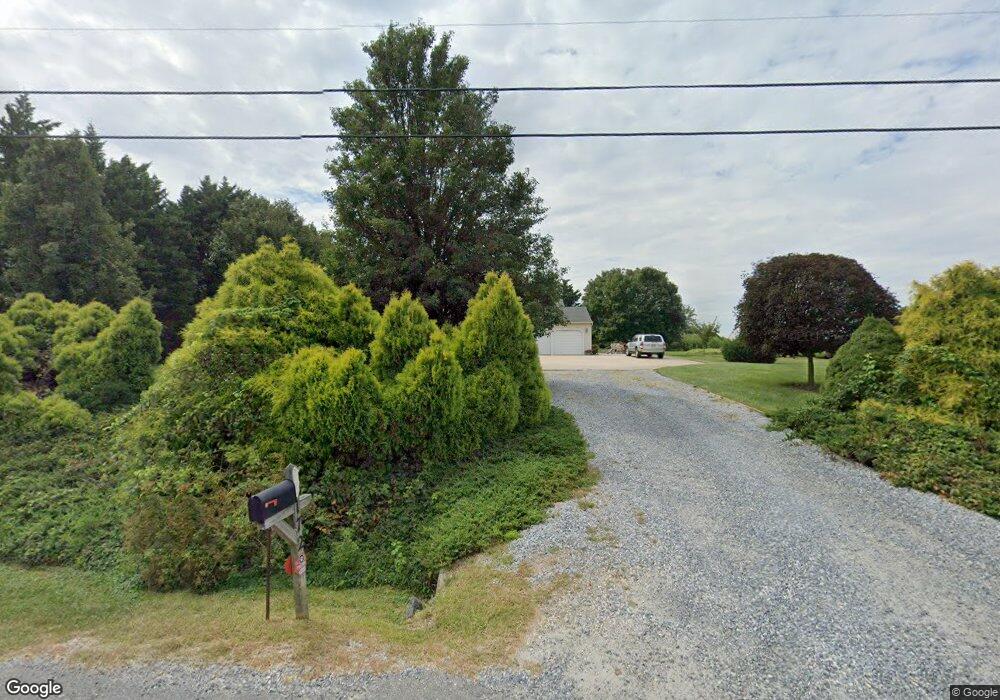
172 Point Airy Rd Pilesgrove, NJ 08098
Estimated Value: $423,000 - $467,000
--
Bed
--
Bath
1,904
Sq Ft
$233/Sq Ft
Est. Value
About This Home
This home is located at 172 Point Airy Rd, Pilesgrove, NJ 08098 and is currently estimated at $443,239, approximately $232 per square foot. 172 Point Airy Rd is a home located in Salem County with nearby schools including Mary S. Shoemaker School and Woodstown High School.
Ownership History
Date
Name
Owned For
Owner Type
Purchase Details
Closed on
Aug 6, 2004
Sold by
Mortimer Jeffrey W and Mortimer Cheryl L
Bought by
Warner Richard G and Warner Tiffany A
Current Estimated Value
Home Financials for this Owner
Home Financials are based on the most recent Mortgage that was taken out on this home.
Original Mortgage
$40,000
Outstanding Balance
$29,803
Interest Rate
6.01%
Mortgage Type
Credit Line Revolving
Estimated Equity
$413,436
Create a Home Valuation Report for This Property
The Home Valuation Report is an in-depth analysis detailing your home's value as well as a comparison with similar homes in the area
Home Values in the Area
Average Home Value in this Area
Purchase History
| Date | Buyer | Sale Price | Title Company |
|---|---|---|---|
| Warner Richard G | $273,000 | Group 21 Title Agency |
Source: Public Records
Mortgage History
| Date | Status | Borrower | Loan Amount |
|---|---|---|---|
| Open | Warner Richard G | $40,000 | |
| Open | Warner Richard G | $216,000 |
Source: Public Records
Tax History Compared to Growth
Tax History
| Year | Tax Paid | Tax Assessment Tax Assessment Total Assessment is a certain percentage of the fair market value that is determined by local assessors to be the total taxable value of land and additions on the property. | Land | Improvement |
|---|---|---|---|---|
| 2025 | $8,818 | $241,200 | $75,000 | $166,200 |
| 2024 | $8,946 | $241,200 | $75,000 | $166,200 |
| 2023 | $8,946 | $241,200 | $75,000 | $166,200 |
| 2022 | $8,428 | $241,200 | $75,000 | $166,200 |
| 2021 | $8,116 | $241,200 | $75,000 | $166,200 |
| 2020 | $7,837 | $241,200 | $75,000 | $166,200 |
| 2019 | $7,607 | $241,200 | $75,000 | $166,200 |
| 2018 | $7,304 | $241,200 | $75,000 | $166,200 |
| 2017 | $7,065 | $241,200 | $75,000 | $166,200 |
| 2016 | $7,753 | $275,900 | $75,000 | $200,900 |
| 2015 | $7,173 | $275,900 | $75,000 | $200,900 |
| 2014 | $6,909 | $275,900 | $75,000 | $200,900 |
Source: Public Records
Map
Nearby Homes
- 230 Point Airy Rd
- 96 Kingsberry Ln
- 0 Woodstown Rd Unit NJSA2016854
- 73 Kingsberry Ln
- 29 Kingsberry Ln
- 8 Eichmann Way
- 50 Colson Ct
- 15 E Grant St
- 236 E Lake Rd
- 36 Bowen Ave
- L13 Highway 40 W
- 47 Dickinson St
- 35 Green St
- 39 Green St
- 76 West Ave
- 133 Spring Garden St
- 178 E Millbrooke Ave
- 34 Main St
- 64 W Millbrooke Ave
- 444 S Main St
- 174 Point Airy Rd
- 168 Point Airy Rd
- 166 Point Airy Rd
- 167 Point Airy Rd
- 162 Point Airy Rd
- 160 Point Airy Rd
- 1116 Route 45
- 1116 Route 45
- 1099 Route 45
- 1112 Route 45
- 1106 Route 45
- 144 Point Airy Rd
- 147 Point Airy Rd
- 1138 Route 45
- 140 Point Airy Rd
- 137 Point Airy Rd
- 138 Point Airy Rd
- 1084 Route 45
- 208 Point Airy Rd
- 1078 Route 45