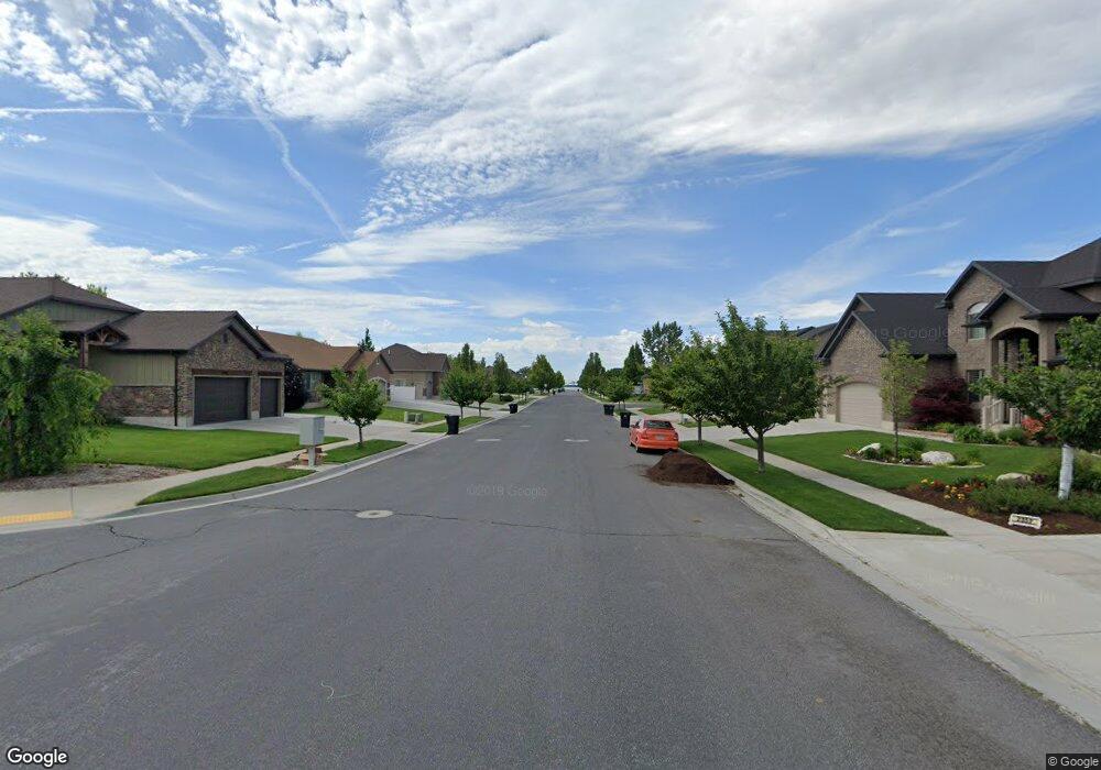
172 S 1660 W Clearfield, UT 84015
Estimated Value: $450,000 - $461,000
3
Beds
2
Baths
1,749
Sq Ft
$261/Sq Ft
Est. Value
About This Home
This home is located at 172 S 1660 W, Clearfield, UT 84015 and is currently estimated at $457,049, approximately $261 per square foot. 172 S 1660 W is a home located in Davis County with nearby schools including Lakeside School, West Point Junior High School, and Syracuse High School.
Ownership History
Date
Name
Owned For
Owner Type
Purchase Details
Closed on
Sep 22, 2014
Sold by
Crdt Llc
Bought by
Amer Homes 4 Rent Properties Nine Llc
Current Estimated Value
Purchase Details
Closed on
Jun 12, 2014
Sold by
The Secretary Of Hud
Bought by
Crdt Llc
Purchase Details
Closed on
Mar 5, 2014
Sold by
Guild Mortgage Co
Bought by
Secretary Of Hud
Purchase Details
Closed on
Feb 12, 2014
Sold by
Durham David A and Van Komen Mary C
Bought by
Guild Mortgage Co
Purchase Details
Closed on
Apr 6, 2010
Sold by
Holmes Joshua D and Holmes Maria N
Bought by
Durham David A and Vankomen Mary C
Purchase Details
Closed on
Jun 8, 2007
Sold by
Smith Rodger L
Bought by
Clark Michael L
Purchase Details
Closed on
Aug 25, 2005
Sold by
Childs Nate S
Bought by
Holmes Joshua D and Holmes Maria N
Home Financials for this Owner
Home Financials are based on the most recent Mortgage that was taken out on this home.
Original Mortgage
$150,058
Interest Rate
5.61%
Mortgage Type
VA
Purchase Details
Closed on
Nov 23, 2004
Sold by
Childs Nate S and Childs Andrea W
Bought by
Childs Nate S
Home Financials for this Owner
Home Financials are based on the most recent Mortgage that was taken out on this home.
Original Mortgage
$18,000
Interest Rate
5.72%
Mortgage Type
Credit Line Revolving
Purchase Details
Closed on
Jun 13, 2002
Sold by
Clark Michael L
Bought by
Childs Nate S and Childs Andrea W
Home Financials for this Owner
Home Financials are based on the most recent Mortgage that was taken out on this home.
Original Mortgage
$127,827
Interest Rate
6.74%
Mortgage Type
FHA
Purchase Details
Closed on
Sep 6, 2001
Sold by
Smith Roger L
Bought by
Clark Michael L
Purchase Details
Closed on
Mar 20, 2001
Sold by
Smith Lowell V and Smith Rebecca L
Bought by
Smith Rodger L
Create a Home Valuation Report for This Property
The Home Valuation Report is an in-depth analysis detailing your home's value as well as a comparison with similar homes in the area
Home Values in the Area
Average Home Value in this Area
Purchase History
| Date | Buyer | Sale Price | Title Company |
|---|---|---|---|
| Amer Homes 4 Rent Properties Nine Llc | -- | Inwest Title Service | |
| Crdt Llc | -- | Cornerstone Title In | |
| Secretary Of Hud | -- | Backman Title Svc | |
| Guild Mortgage Co | $164,639 | Etitle Insurance Age | |
| Durham David A | -- | Lincoln Title Ins Agency | |
| Clark Michael L | -- | Founders Title Co Layton | |
| Holmes Joshua D | -- | First American Title | |
| Childs Nate S | -- | Mountain View Title & Escrow | |
| Childs Nate S | -- | Us Title | |
| Clark Michael L | -- | Founders Title Co | |
| Smith Rodger L | -- | Founders Title Co |
Source: Public Records
Mortgage History
| Date | Status | Borrower | Loan Amount |
|---|---|---|---|
| Previous Owner | Holmes Joshua D | $150,058 | |
| Previous Owner | Childs Nate S | $18,000 | |
| Previous Owner | Childs Nate S | $127,827 |
Source: Public Records
Tax History Compared to Growth
Tax History
| Year | Tax Paid | Tax Assessment Tax Assessment Total Assessment is a certain percentage of the fair market value that is determined by local assessors to be the total taxable value of land and additions on the property. | Land | Improvement |
|---|---|---|---|---|
| 2025 | $2,436 | $228,250 | $101,834 | $126,416 |
| 2024 | $2,337 | $219,999 | $91,734 | $128,265 |
| 2023 | $2,148 | $204,600 | $61,120 | $143,479 |
| 2022 | $2,298 | $396,000 | $103,506 | $292,494 |
| 2021 | $2,073 | $294,000 | $92,388 | $201,612 |
| 2020 | $1,801 | $252,000 | $76,978 | $175,022 |
| 2019 | $1,899 | $262,000 | $74,872 | $187,128 |
| 2018 | $1,677 | $228,000 | $76,283 | $151,717 |
| 2016 | $1,440 | $103,070 | $29,454 | $73,616 |
| 2015 | $1,338 | $90,750 | $29,454 | $61,296 |
| 2014 | $1,406 | $96,651 | $29,454 | $67,197 |
| 2013 | -- | $84,956 | $27,225 | $57,731 |
Source: Public Records
Map
Nearby Homes
- 1648 W 150 S
- 1828 W 75 S
- 135 S 1525 W
- 47 N 1750 W
- 12 N 2000 W Unit 1
- 16 N 1300 W
- 4284 W 350 S Unit 615
- 4296 W 350 S Unit 614
- 587 S 1400 W
- 1774 W 400 N
- 575 N 1350 W Unit 137
- 303 N Canterbury Way
- 423 N 1250 W Unit 118
- 1652 W 560 N
- 1350 W 300 N Unit 49
- 1350 W 300 N Unit 38
- 1350 W 300 N Unit 29
- 1337 W 550 N Unit 195
- 563 N 1350 W Unit 139
- 417 N 1200 W Unit 84