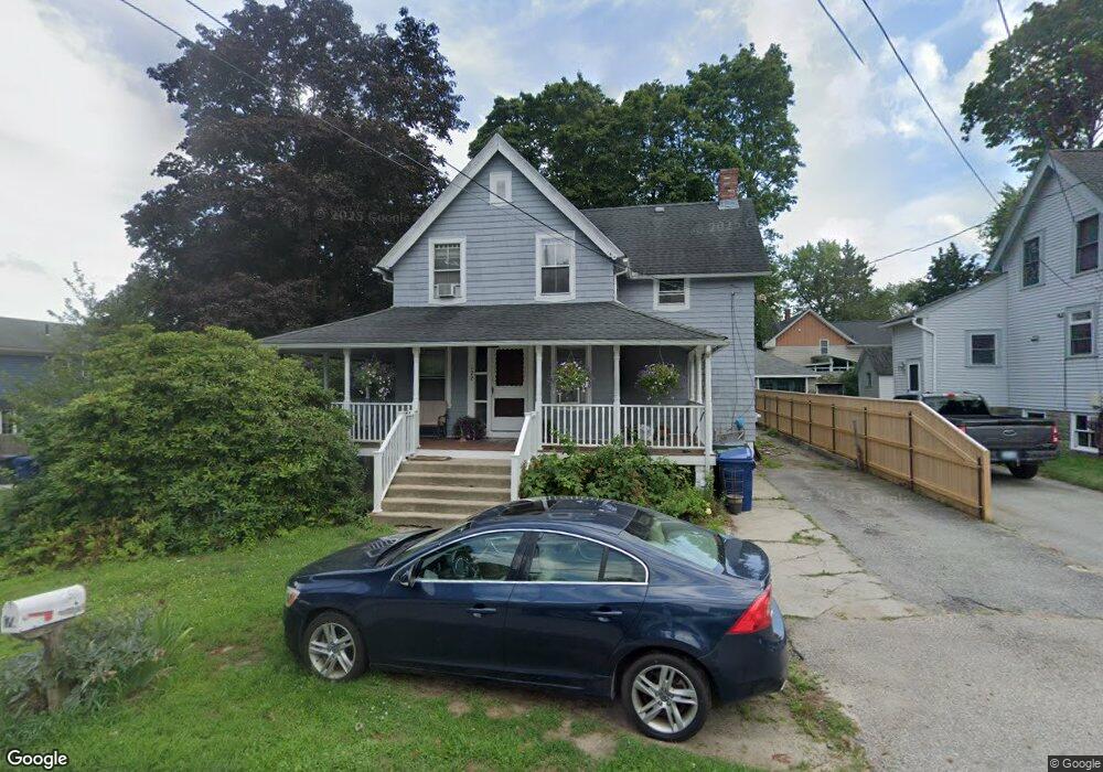
172 Samuel Gorton Ave Warwick, RI 02889
Long Meadow NeighborhoodEstimated Value: $373,120 - $406,000
3
Beds
2
Baths
1,281
Sq Ft
$303/Sq Ft
Est. Value
About This Home
This home is located at 172 Samuel Gorton Ave, Warwick, RI 02889 and is currently estimated at $388,780, approximately $303 per square foot. 172 Samuel Gorton Ave is a home located in Kent County with nearby schools including Saint Kevin School and Bishop Hendricken High School.
Ownership History
Date
Name
Owned For
Owner Type
Purchase Details
Closed on
Jun 28, 2024
Sold by
Bucklad Robert J
Bought by
Robert J Bucklad Irt and Bucklad
Current Estimated Value
Purchase Details
Closed on
Nov 9, 1989
Sold by
Vincent Robert R
Bought by
Bucklad Robert J
Home Financials for this Owner
Home Financials are based on the most recent Mortgage that was taken out on this home.
Original Mortgage
$105,050
Interest Rate
10.03%
Mortgage Type
Purchase Money Mortgage
Create a Home Valuation Report for This Property
The Home Valuation Report is an in-depth analysis detailing your home's value as well as a comparison with similar homes in the area
Home Values in the Area
Average Home Value in this Area
Purchase History
| Date | Buyer | Sale Price | Title Company |
|---|---|---|---|
| Robert J Bucklad Irt | -- | None Available | |
| Robert J Bucklad Irt | -- | None Available | |
| Bucklad Robert J | $112,500 | -- | |
| Bucklad Robert J | $112,500 | -- |
Source: Public Records
Mortgage History
| Date | Status | Borrower | Loan Amount |
|---|---|---|---|
| Previous Owner | Bucklad Robert J | $25,000 | |
| Previous Owner | Bucklad Robert J | $96,300 | |
| Previous Owner | Bucklad Robert J | $105,050 |
Source: Public Records
Tax History Compared to Growth
Tax History
| Year | Tax Paid | Tax Assessment Tax Assessment Total Assessment is a certain percentage of the fair market value that is determined by local assessors to be the total taxable value of land and additions on the property. | Land | Improvement |
|---|---|---|---|---|
| 2025 | $4,355 | $342,900 | $114,500 | $228,400 |
| 2024 | $3,806 | $263,000 | $94,600 | $168,400 |
| 2023 | $3,732 | $263,000 | $94,600 | $168,400 |
| 2022 | $3,489 | $186,300 | $57,300 | $129,000 |
| 2021 | $3,489 | $186,300 | $57,300 | $129,000 |
| 2020 | $3,489 | $186,300 | $57,300 | $129,000 |
| 2019 | $3,489 | $186,300 | $57,300 | $129,000 |
| 2018 | $3,039 | $146,100 | $57,300 | $88,800 |
| 2017 | $2,957 | $146,100 | $57,300 | $88,800 |
| 2016 | $2,957 | $146,100 | $57,300 | $88,800 |
| 2015 | $3,125 | $150,600 | $59,900 | $90,700 |
| 2014 | $3,021 | $150,600 | $59,900 | $90,700 |
| 2013 | $2,980 | $150,600 | $59,900 | $90,700 |
Source: Public Records
Map
Nearby Homes
- 180 Samuel Gorton Ave
- 177 Samuel Gorton Ave
- 159 Arlington Ave
- 171 Samuel Gorton Ave
- 189 Samuel Gorton Ave
- 194 Samuel Gorton Ave
- 149 Arlington Ave
- 485 Tidewater Dr
- 167 Samuel Gorton Ave
- 499 Tidewater Dr
- 202 Samuel Gorton Ave
- 158 Park Ave
- 162 Park Ave
- 176 Park Ave
- 164 Arlington Ave
- 205 Samuel Gorton Ave
- 149 Samuel Gorton Ave
- 172 Arlington Ave
- 513 Tidewater Dr
- 16 Park Ave