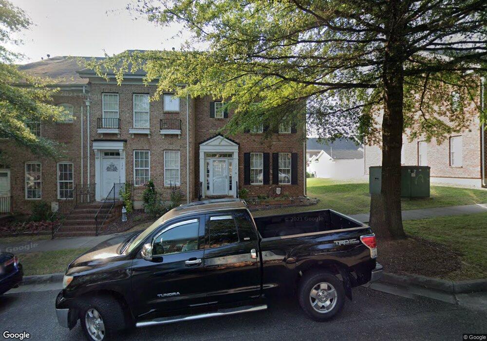
172 Singleton Rd Mooresville, NC 28117
Estimated Value: $322,000 - $340,034
3
Beds
3
Baths
1,386
Sq Ft
$239/Sq Ft
Est. Value
About This Home
This home is located at 172 Singleton Rd, Mooresville, NC 28117 and is currently estimated at $330,759, approximately $238 per square foot. 172 Singleton Rd is a home located in Iredell County with nearby schools including Lake Norman Elementary School, Lake Norman High School, and Langtree Charter Academy.
Ownership History
Date
Name
Owned For
Owner Type
Purchase Details
Closed on
Apr 7, 2005
Sold by
Carriage Street Towns Ii Llc
Bought by
Odonnell Laura
Current Estimated Value
Home Financials for this Owner
Home Financials are based on the most recent Mortgage that was taken out on this home.
Original Mortgage
$119,110
Outstanding Balance
$58,017
Interest Rate
5.12%
Mortgage Type
Fannie Mae Freddie Mac
Estimated Equity
$272,742
Create a Home Valuation Report for This Property
The Home Valuation Report is an in-depth analysis detailing your home's value as well as a comparison with similar homes in the area
Home Values in the Area
Average Home Value in this Area
Purchase History
| Date | Buyer | Sale Price | Title Company |
|---|---|---|---|
| Odonnell Laura | $149,500 | -- |
Source: Public Records
Mortgage History
| Date | Status | Borrower | Loan Amount |
|---|---|---|---|
| Open | Odonnell Laura | $119,110 | |
| Closed | Odonnell Laura | $14,870 |
Source: Public Records
Tax History
| Year | Tax Paid | Tax Assessment Tax Assessment Total Assessment is a certain percentage of the fair market value that is determined by local assessors to be the total taxable value of land and additions on the property. | Land | Improvement |
|---|---|---|---|---|
| 2025 | $3,405 | $319,320 | $50,000 | $269,320 |
| 2024 | $3,405 | $319,320 | $50,000 | $269,320 |
| 2023 | $3,345 | $319,320 | $50,000 | $269,320 |
| 2022 | $2,296 | $189,360 | $33,000 | $156,360 |
| 2021 | $2,292 | $189,360 | $33,000 | $156,360 |
| 2020 | $2,292 | $189,360 | $33,000 | $156,360 |
| 2019 | $2,273 | $189,360 | $33,000 | $156,360 |
| 2018 | $1,984 | $163,590 | $35,000 | $128,590 |
| 2017 | $1,924 | $163,590 | $35,000 | $128,590 |
| 2016 | $1,924 | $163,590 | $35,000 | $128,590 |
| 2015 | $1,924 | $163,590 | $35,000 | $128,590 |
| 2014 | $1,916 | $169,350 | $35,000 | $134,350 |
Source: Public Records
Map
Nearby Homes
- 180 Singleton Rd
- 119 Capital Ave Unit C
- 125 Capital Ave
- 133 Capital Ave Unit A
- 238 Welton Way
- 121 Quarter Ln
- 156 Trotter Ridge Dr
- 119 Middleton Place Unit 184
- 109 N Audubon Ave
- 113 Steeplechase Ave
- 119 N Wendover Trace
- 143 N Wendover Trace
- 214 Farmstead Ln
- 496 Brawley School Rd
- 113 Burlingame Ct Unit D
- 760 River Hwy
- 768 River Hwy
- 132 Flora Vista Dr
- 235 Kendra Dr
- 127 Hazelton Loop
- 174 Singleton Rd
- 168 Singleton Rd
- 176 Singleton Rd
- 178 Singleton Rd
- 166 Singleton Rd
- 180 Singleton Rd Unit 168
- 162 Singleton Rd
- 182 Singleton Rd
- 155 Quarter Ln
- 153 Quarter Ln
- 160 Singleton Rd
- 157 Quarter Ln
- 151 Quarter Ln
- 159 Quarter Ln
- 149 Quarter Ln
- 161 Quarter Ln
- 158 Singleton Rd
- 158 Singleton Rd
- 158 Singleton Rd Unit 158
- 184 Singleton Rd
Your Personal Tour Guide
Ask me questions while you tour the home.