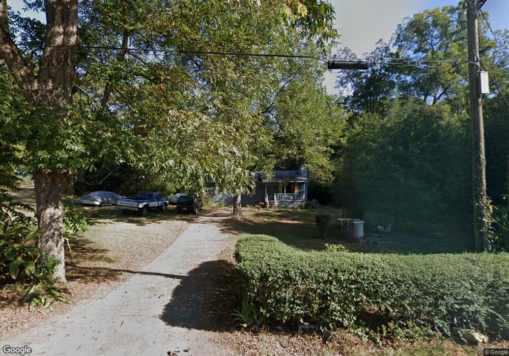
172 Society St Concord, GA 30206
Estimated Value: $138,000 - $241,000
--
Bed
1
Bath
1,056
Sq Ft
$162/Sq Ft
Est. Value
About This Home
This home is located at 172 Society St, Concord, GA 30206 and is currently estimated at $170,964, approximately $161 per square foot. 172 Society St is a home located in Pike County with nearby schools including Pike County Primary School, Pike County Elementary School, and Pike County Middle School.
Ownership History
Date
Name
Owned For
Owner Type
Purchase Details
Closed on
Aug 9, 2014
Sold by
Williamson Hattie
Bought by
Moses Cherese Necole and Williamson Eddie Lee
Current Estimated Value
Purchase Details
Closed on
Jan 17, 2014
Sold by
Moses Cherese Necole
Bought by
Williamson Hattie and Williamson Donald
Purchase Details
Closed on
Dec 14, 2006
Sold by
Williamson Hattie
Bought by
Williamson Donald
Purchase Details
Closed on
Sep 25, 1990
Bought by
Williamson Hattie
Create a Home Valuation Report for This Property
The Home Valuation Report is an in-depth analysis detailing your home's value as well as a comparison with similar homes in the area
Home Values in the Area
Average Home Value in this Area
Purchase History
| Date | Buyer | Sale Price | Title Company |
|---|---|---|---|
| Moses Cherese Necole | -- | -- | |
| Williamson Hattie | -- | -- | |
| Williamson Donald | -- | -- | |
| Williamson Hattie | -- | -- |
Source: Public Records
Tax History Compared to Growth
Tax History
| Year | Tax Paid | Tax Assessment Tax Assessment Total Assessment is a certain percentage of the fair market value that is determined by local assessors to be the total taxable value of land and additions on the property. | Land | Improvement |
|---|---|---|---|---|
| 2024 | $1,259 | $42,636 | $6,600 | $36,036 |
| 2023 | $1,494 | $42,636 | $6,600 | $36,036 |
| 2022 | $892 | $30,749 | $6,600 | $24,149 |
| 2021 | $923 | $30,749 | $6,600 | $24,149 |
| 2020 | $934 | $30,749 | $6,600 | $24,149 |
| 2019 | $667 | $19,306 | $1,600 | $17,706 |
| 2018 | $667 | $19,306 | $1,600 | $17,706 |
| 2017 | $662 | $19,306 | $1,600 | $17,706 |
| 2016 | $587 | $18,448 | $1,600 | $16,848 |
| 2015 | $559 | $18,448 | $1,600 | $16,848 |
| 2014 | $507 | $18,448 | $1,600 | $16,848 |
| 2013 | -- | $18,448 | $1,600 | $16,848 |
Source: Public Records
Map
Nearby Homes
- L-8 Strickland Rd
- 10000 Highway 18 W
- LOT 12 Flint Farms Dr
- 184 Flint Farms Dr
- 243 Flint Farms Dr
- 126 Flint Farms Dr
- LOT 11 Flint Farms Dr
- TRACT 5 Bates Rd (13 98acs)
- 1337 Green St
- TRACT 2 Bates Rd (56 99acs)
- TRACT 1 Bates Rd (14 05acs)
- 3.39 ACRES Caldwell Bridge Rd
- 0 W Fossett Rd Unit 10629253
- 764 Bates Rd (228 96acs)
- TRACT 6 & 7 Bates Rd (47 4acs)
- 2246 Concord Rd
- 0 West Rd Unit 10536330
- 0 West Rd Unit 10541322
- 1579 Bates Rd
- 0 Green St Unit 20083878