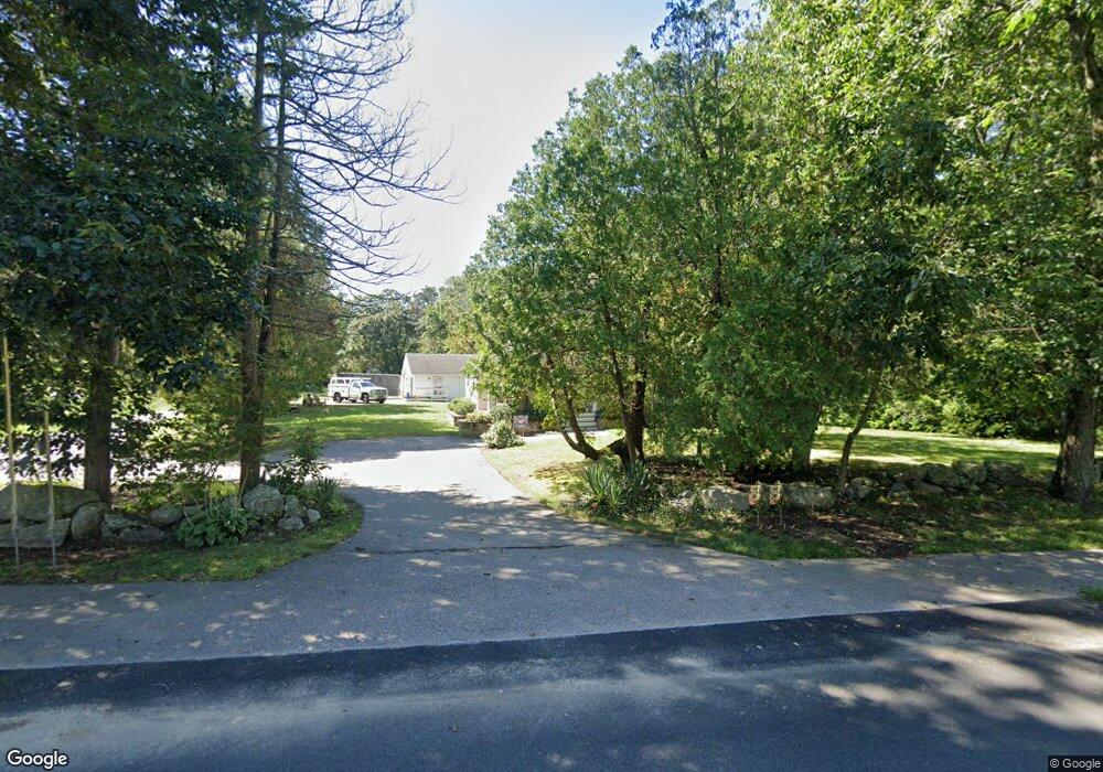
172 Thurston St Wrentham, MA 02093
Wrentham AreaEstimated Value: $571,000 - $647,000
About This Home
This home is located at 172 Thurston St, Wrentham, MA 02093 and is currently estimated at $614,507, approximately $416 per square foot. 172 Thurston St is a home located in Norfolk County with nearby schools including Delaney Elementary School, Charles E Roderick, and Discovery Daycare Center.
Ownership History
We collect this data history from publicly available records. To have your information removed, we recommend requesting removal directly through your county’s website.
Purchase Details
Purchase History
We collect this data history from publicly available records. To have your information removed, we recommend requesting removal directly through your county’s website.
| Date | Buyer | Sale Price | Title Company |
|---|---|---|---|
| $148,100 | -- |
Mortgage History
We collect this data history from publicly available records. To have your information removed, we recommend requesting removal directly through your county’s website.
| Date | Status | Borrower | Loan Amount |
|---|---|---|---|
| Open | $146,900 | ||
| Closed | $27,000 | ||
| Closed | $200,000 | ||
| Closed | $110,000 |
Tax History
We collect this data history from publicly available records. To have your information removed, we recommend requesting removal directly through your county’s website.
| Year | Tax Paid | Tax Assessment Tax Assessment Total Assessment is a certain percentage of the fair market value that is determined by local assessors to be the total taxable value of land and additions on the property. | Land | Improvement |
|---|---|---|---|---|
| 2025 | $6,184 | $533,600 | $287,900 | $245,700 |
| 2024 | $5,921 | $493,400 | $287,900 | $205,500 |
| 2023 | $5,820 | $461,200 | $263,000 | $198,200 |
| 2022 | $5,513 | $403,300 | $238,100 | $165,200 |
| 2021 | $5,307 | $377,200 | $214,300 | $162,900 |
| 2020 | $5,062 | $355,200 | $196,800 | $158,400 |
| 2019 | $4,716 | $334,000 | $180,200 | $153,800 |
| 2018 | $4,310 | $302,700 | $179,500 | $123,200 |
| 2017 | $4,144 | $290,800 | $176,100 | $114,700 |
| 2016 | $4,028 | $282,100 | $171,000 | $111,100 |
| 2015 | $3,970 | $265,000 | $164,400 | $100,600 |
| 2014 | $3,932 | $256,800 | $158,200 | $98,600 |
Map
- 19 Nadeau Dr
- 35 Fairbanks Dr
- 1 King Philip Cir Unit Lot 6
- 140 King James Way
- 47 Sleepy Hollow Ln
- 483 Thurston St
- 287 Taunton St
- 15 Lorraine Metcalf Dr
- 151 Dedham St
- 25 Charles Samuel Way
- 424 Dedham St
- 95 Circle Dr
- 78 Franklin St
- 18 Shears St
- 590 Dedham St
- 35 Jones St
- 2 Vine St
- 131 Washington St Unit 32
- 131 Washington St Unit 42
- 131 Washington St Unit 51
- 167 Thurston St
- 175 Thurston St
- 156 Thurston St
- 184 Thurston St
- 191 Thurston St
- 157 Thurston St
- 154 Thurston St
- 33 Nadeau Dr
- 300 Cowell Rd
- 320 Cowell Rd
- 310 Cowell Rd
- 198 Thurston St
- 27 Nadeau Dr
- 152 Thurston St
- 39 Nadeau Dr
- 32 Nadeau Dr
- 205 Thurston St
- 10 Warner Trail Rd
- 47 Nadeau Dr
- 143 Thurston St
Ask me questions while you tour the home.