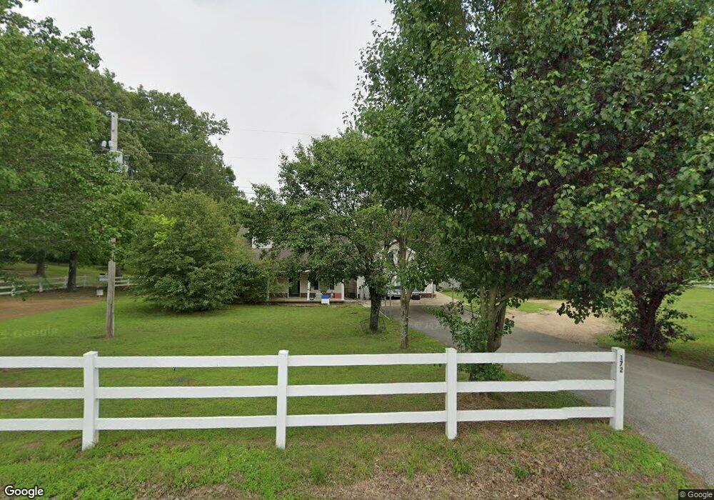
172 Twin Lake Dr Paragould, AR 72450
Estimated Value: $210,000 - $288,998
--
Bed
2
Baths
2,753
Sq Ft
$95/Sq Ft
Est. Value
About This Home
This home is located at 172 Twin Lake Dr, Paragould, AR 72450 and is currently estimated at $261,250, approximately $94 per square foot. 172 Twin Lake Dr is a home located in Greene County with nearby schools including Paragould High School.
Ownership History
Date
Name
Owned For
Owner Type
Purchase Details
Closed on
Sep 13, 2012
Sold by
Bancorpsouth Bank
Bought by
Bobo Billy and Bobo Marshia
Current Estimated Value
Home Financials for this Owner
Home Financials are based on the most recent Mortgage that was taken out on this home.
Original Mortgage
$146,954
Outstanding Balance
$101,419
Interest Rate
3.59%
Mortgage Type
FHA
Estimated Equity
$159,831
Purchase Details
Closed on
Mar 8, 2002
Bought by
Virginia Gary D and Virginia Kay Messer
Purchase Details
Closed on
Apr 13, 1998
Bought by
Bryant
Create a Home Valuation Report for This Property
The Home Valuation Report is an in-depth analysis detailing your home's value as well as a comparison with similar homes in the area
Home Values in the Area
Average Home Value in this Area
Purchase History
| Date | Buyer | Sale Price | Title Company |
|---|---|---|---|
| Bobo Billy | $165,000 | None Available | |
| Virginia Gary D | $64,000 | -- | |
| Bryant | $4,000 | -- |
Source: Public Records
Mortgage History
| Date | Status | Borrower | Loan Amount |
|---|---|---|---|
| Open | Bobo Billy | $146,954 |
Source: Public Records
Tax History Compared to Growth
Tax History
| Year | Tax Paid | Tax Assessment Tax Assessment Total Assessment is a certain percentage of the fair market value that is determined by local assessors to be the total taxable value of land and additions on the property. | Land | Improvement |
|---|---|---|---|---|
| 2025 | $1,881 | $51,960 | $4,000 | $47,960 |
| 2024 | $1,795 | $51,960 | $4,000 | $47,960 |
| 2023 | $1,710 | $37,810 | $3,600 | $34,210 |
| 2022 | $1,335 | $37,810 | $3,600 | $34,210 |
| 2021 | $1,335 | $37,810 | $3,600 | $34,210 |
| 2020 | $1,650 | $36,480 | $2,480 | $34,000 |
| 2019 | $1,275 | $36,480 | $2,480 | $34,000 |
| 2018 | $1,300 | $36,480 | $2,480 | $34,000 |
| 2017 | $1,503 | $36,480 | $2,480 | $34,000 |
| 2016 | $1,153 | $36,480 | $2,480 | $34,000 |
| 2015 | $1,081 | $32,360 | $2,480 | $29,880 |
| 2014 | -- | $26,300 | $2,480 | $23,820 |
Source: Public Records
Map
Nearby Homes
- 146 Messer Dr
- 5.38 AC Highway 135 N
- 181 Misty Marie
- 205 Raymond
- 422 Sunset Dr
- 44 Oak Grove Rd
- 193 Granny Jean Ln
- 522 Vaughn Dr
- 233 Lois Ln
- 1387 Greene Road 517
- 1094 Greene Road 508
- Tract 4 Greene 726 Rd
- Tract 3 Greene 726 Rd
- Tract 2 Greene 726 Rd
- 000 Hwy 412 Byp Everett Dr
- 0 Hwy 49s Unit 10124883
- 3407 Sweet Gum St
- 3505 Sweet Gum St
- 0 Acres Highway 49n Unit 10121154
- 3501 Sweet Gum St