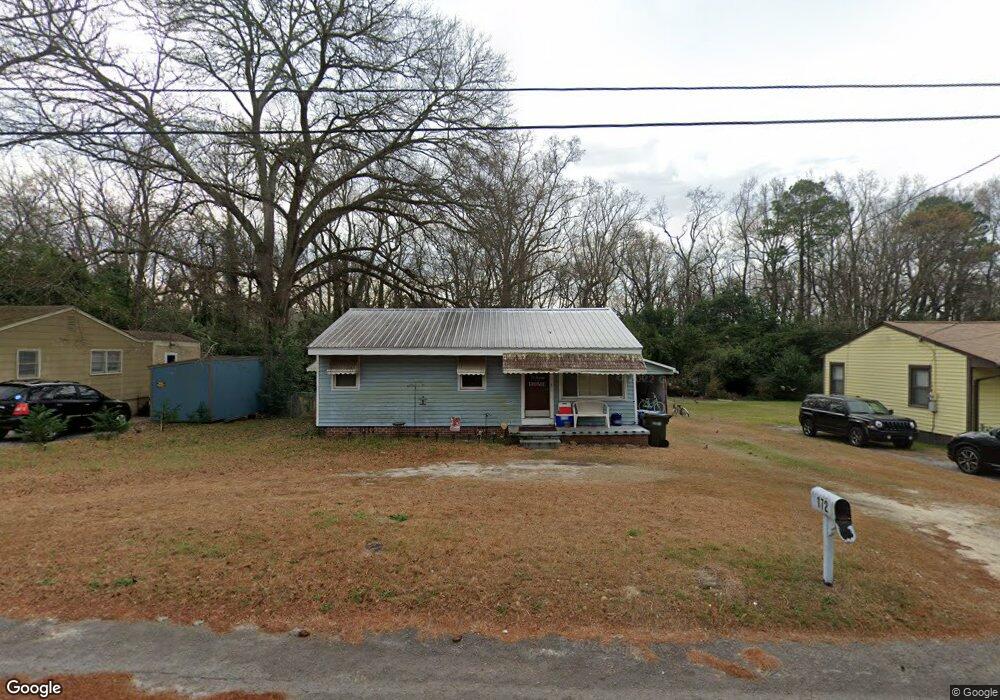
172 Whiteside Cir West Columbia, SC 29169
Estimated Value: $107,000 - $149,000
3
Beds
1
Bath
848
Sq Ft
$145/Sq Ft
Est. Value
About This Home
This home is located at 172 Whiteside Cir, West Columbia, SC 29169 and is currently estimated at $123,098, approximately $145 per square foot. 172 Whiteside Cir is a home located in Lexington County with nearby schools including Cayce Elementary, Cyril B. Busbee Creative Arts Academy, and Brookland-Cayce High School.
Ownership History
Date
Name
Owned For
Owner Type
Purchase Details
Closed on
Sep 14, 2023
Sold by
Browder Patricia C
Bought by
Browder Patricia C
Current Estimated Value
Purchase Details
Closed on
Sep 18, 2015
Sold by
Anderson Daniel H
Bought by
Browder Patricia C
Purchase Details
Closed on
Aug 12, 2005
Sold by
Callahan Brett William Patrick and Callahan Angel Marie
Bought by
Mtm Construction Inc
Purchase Details
Closed on
Feb 7, 2001
Sold by
Mosely Mary Belle
Bought by
Anderson Daniel H
Create a Home Valuation Report for This Property
The Home Valuation Report is an in-depth analysis detailing your home's value as well as a comparison with similar homes in the area
Home Values in the Area
Average Home Value in this Area
Purchase History
| Date | Buyer | Sale Price | Title Company |
|---|---|---|---|
| Browder Patricia C | -- | None Listed On Document | |
| Browder Patricia C | -- | None Available | |
| Mtm Construction Inc | -- | -- | |
| Anderson Daniel H | $57,000 | -- | |
| Colburne Donnie L | $115,240 | -- |
Source: Public Records
Tax History Compared to Growth
Tax History
| Year | Tax Paid | Tax Assessment Tax Assessment Total Assessment is a certain percentage of the fair market value that is determined by local assessors to be the total taxable value of land and additions on the property. | Land | Improvement |
|---|---|---|---|---|
| 2024 | $1,367 | $3,175 | $960 | $2,215 |
| 2023 | $1,256 | $3,175 | $960 | $2,215 |
| 2022 | $1,189 | $3,175 | $960 | $2,215 |
| 2020 | $1,127 | $3,175 | $960 | $2,215 |
| 2019 | $1,200 | $3,350 | $960 | $2,390 |
| 2018 | $1,190 | $3,350 | $960 | $2,390 |
| 2017 | $1,168 | $3,350 | $960 | $2,390 |
| 2016 | $1,181 | $3,349 | $960 | $2,389 |
| 2015 | $1,188 | $3,349 | $960 | $2,389 |
| 2014 | $1,195 | $3,898 | $1,080 | $2,818 |
| 2013 | -- | $3,900 | $1,080 | $2,820 |
Source: Public Records
Map
Nearby Homes
- 706 Westside Dr
- 725 Brooks Ave
- 2312 Rainbow Dr
- 2405 Rainbow Dr
- 135 Silver Run Place
- 116 Silver Run Place
- 309 Hammond Ave
- 339 Gum Swamp Trail
- 349 Gum Swamp Trail
- 212 Alexandria St
- 2024 Platt Springs Rd
- 826 Jefferson St
- 1802 D Ave
- 615 Dawn Dr
- 153 Cavendish Dr
- 151 Cavendish Dr
- 157 Cavendish Dr
- 1210 Decatur St
- TBD Woodfield Jupiter & Daisey Track
- 106 Stockman Dr
- 174 Whiteside Cir
- 170 Whiteside Cir
- 168 Whiteside Cir
- 166 Whiteside Cir
- 169 Whiteside Cir
- 178 Whiteside Cir
- 171 Whiteside Cir
- 167 Whiteside Cir
- 173 Whiteside Cir
- 165 Whiteside Cir
- 164 Whiteside Cir
- 175 Whiteside Cir
- 180 Whiteside Cir
- 163 Whiteside Cir
- 177 Whiteside Cir
- 162 Whiteside Cir
- 182 Whiteside Cir
- 161 Whiteside Cir
- 119 Whiteside Cir
- 117 Whiteside Cir