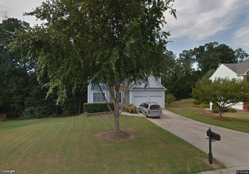
1720 Clayton Cir Cumming, GA 30040
Estimated Value: $458,499 - $522,000
3
Beds
3
Baths
2,166
Sq Ft
$221/Sq Ft
Est. Value
About This Home
This home is located at 1720 Clayton Cir, Cumming, GA 30040 and is currently estimated at $479,625, approximately $221 per square foot. 1720 Clayton Cir is a home located in Forsyth County with nearby schools including Cumming Elementary School, Otwell Middle School, and Forsyth Central High School.
Ownership History
Date
Name
Owned For
Owner Type
Purchase Details
Closed on
Aug 31, 1998
Sold by
Popp David I
Bought by
Popp David I and Popp Cherene L
Current Estimated Value
Home Financials for this Owner
Home Financials are based on the most recent Mortgage that was taken out on this home.
Original Mortgage
$155,450
Outstanding Balance
$33,379
Interest Rate
6.96%
Mortgage Type
New Conventional
Estimated Equity
$446,246
Create a Home Valuation Report for This Property
The Home Valuation Report is an in-depth analysis detailing your home's value as well as a comparison with similar homes in the area
Home Values in the Area
Average Home Value in this Area
Purchase History
| Date | Buyer | Sale Price | Title Company |
|---|---|---|---|
| Popp David I | -- | -- | |
| Popp David I | $163,700 | -- | |
| Popp David I | -- | -- |
Source: Public Records
Mortgage History
| Date | Status | Borrower | Loan Amount |
|---|---|---|---|
| Open | Popp David I | $155,450 |
Source: Public Records
Tax History Compared to Growth
Tax History
| Year | Tax Paid | Tax Assessment Tax Assessment Total Assessment is a certain percentage of the fair market value that is determined by local assessors to be the total taxable value of land and additions on the property. | Land | Improvement |
|---|---|---|---|---|
| 2025 | $3,348 | $182,956 | $40,000 | $142,956 |
| 2024 | $3,348 | $174,604 | $38,000 | $136,604 |
| 2023 | $2,776 | $161,684 | $30,000 | $131,684 |
| 2022 | $2,950 | $107,100 | $30,000 | $77,100 |
| 2021 | $2,530 | $107,100 | $30,000 | $77,100 |
| 2020 | $2,537 | $107,396 | $30,000 | $77,396 |
| 2019 | $2,333 | $97,332 | $18,000 | $79,332 |
| 2018 | $2,126 | $86,748 | $18,000 | $68,748 |
| 2017 | $2,025 | $81,564 | $18,000 | $63,564 |
| 2016 | $1,859 | $73,684 | $16,000 | $57,684 |
| 2015 | $1,862 | $73,684 | $16,000 | $57,684 |
| 2014 | $1,615 | $66,220 | $16,000 | $50,220 |
Source: Public Records
Map
Nearby Homes
- 1515 Adair Blvd
- 526 Sawnee Dr Unit D61
- 1525 Camden Cove Dr
- 1895 Nestledown Dr
- 99 Mountain Brook Dr
- 460 Tribble Gap Rd Unit 102
- 460 Tribble Gap Rd Unit 604
- 514 Sawnee Village Blvd Unit D55
- 516 Sawnee Village Blvd Unit D56
- 518 Sawnee Village Blvd Unit D57
- 520 Sawnee Village Blvd Unit D58
- 522 Sawnee Village Blvd Unit D59
- 524 Sawnee Village Blvd Unit D60
- 528 Sawnee Village Blvd Unit D62
- 536 Sawnee Village Blvd Unit D66
- 1630 Bettis Tribble Gap Rd
- 542 Sawnee Village Blvd Unit 69
- 1725 Mountainside Dr
- 1710 Clayton Cir
- 1730 Clayton Cir
- 1720 Glenwood Cir
- 1710 Glenwood Cir
- 1730 Glenwood Cir
- 1650 Fairburn Dr
- 1740 Clayton Cir
- 1640 Fairburn Dr
- 1700 Fairburn Dr
- 1735 Clayton Cir
- 1670 Glenwood Cir
- 1740 Glenwood Cir
- 1630 Fairburn Dr
- 1710 Fairburn Dr
- 1750 Clayton Cir
- 1660 Glenwood Cir
- 0 Glenwood Cir Unit 7536345
- 0 Glenwood Cir Unit 7481772
- 0 Glenwood Cir Unit 8111249
- 0 Glenwood Cir Unit 7606872