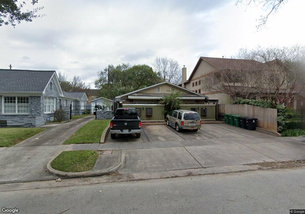
1720 Harold St Houston, TX 77098
Montrose NeighborhoodEstimated Value: $694,000 - $753,000
4
Beds
4
Baths
2,448
Sq Ft
$296/Sq Ft
Est. Value
About This Home
This home is located at 1720 Harold St, Houston, TX 77098 and is currently estimated at $723,500, approximately $295 per square foot. 1720 Harold St is a home located in Harris County with nearby schools including Baker Montessori, Lanier Middle School, and Lamar High School.
Ownership History
Date
Name
Owned For
Owner Type
Purchase Details
Closed on
Aug 11, 2004
Sold by
Milton Luther Harold
Bought by
Saman Thomas and Saman Emmely
Current Estimated Value
Home Financials for this Owner
Home Financials are based on the most recent Mortgage that was taken out on this home.
Original Mortgage
$206,291
Interest Rate
6.02%
Mortgage Type
Purchase Money Mortgage
Purchase Details
Closed on
Sep 23, 1993
Sold by
Palermo Dorothy Lea
Bought by
Carden James and Bailey Corby J
Create a Home Valuation Report for This Property
The Home Valuation Report is an in-depth analysis detailing your home's value as well as a comparison with similar homes in the area
Home Values in the Area
Average Home Value in this Area
Purchase History
| Date | Buyer | Sale Price | Title Company |
|---|---|---|---|
| Saman Thomas | -- | Stewart Title | |
| Carden James | -- | -- |
Source: Public Records
Mortgage History
| Date | Status | Borrower | Loan Amount |
|---|---|---|---|
| Closed | Saman Thomas | $206,291 |
Source: Public Records
Tax History Compared to Growth
Tax History
| Year | Tax Paid | Tax Assessment Tax Assessment Total Assessment is a certain percentage of the fair market value that is determined by local assessors to be the total taxable value of land and additions on the property. | Land | Improvement |
|---|---|---|---|---|
| 2025 | $11,252 | $555,811 | $546,960 | $8,851 |
| 2024 | $11,252 | $537,775 | $501,380 | $36,395 |
| 2023 | $11,252 | $550,668 | $501,380 | $49,288 |
| 2022 | $9,086 | $412,633 | $364,640 | $47,993 |
| 2021 | $9,228 | $395,925 | $364,640 | $31,285 |
| 2020 | $12,020 | $496,364 | $463,093 | $33,271 |
| 2019 | $12,560 | $496,364 | $463,093 | $33,271 |
| 2018 | $12,641 | $499,538 | $434,150 | $65,388 |
| 2017 | $13,256 | $499,538 | $434,150 | $65,388 |
| 2016 | $12,067 | $454,732 | $376,263 | $78,469 |
| 2015 | $10,718 | $464,728 | $376,263 | $88,465 |
| 2014 | $10,718 | $416,955 | $347,320 | $69,635 |
Source: Public Records
Map
Nearby Homes
- 1701 Hawthorne St
- 1660 Hawthorne St
- 1660 Kipling St
- 1755 Kipling St
- 1723 Marshall St
- 1824 Marshall St
- 2415 Elmen St
- 1620 Harold St
- 1634 Marshall St
- 1612 Kipling St
- 1638 W Alabama St
- 1900 Hawthorne St
- 2413 Ralph St Unit 2
- 1849 Marshall St Unit 9
- 1842 W Alabama St
- 2506 Mandell St Unit 3
- 1912 Kipling St
- 1844 W Alabama St
- 2314 Park St
- 1539 Westheimer Rd
- 1718 Harold St
- 1728 Harold St
- 1716 Harold St
- 1732 Harold St
- 1719 Hawthorne St
- 1729 Hawthorne St
- 1717 Hawthorne St
- 1712 Harold St
- 1733 Hawthorne St
- 1740 Harold St
- 1721 Harold St
- 1725 Harold St
- 1719 Harold St
- 1719 Harold St Unit B
- 1737 Hawthorne St
- 1731 Harold St
- 1708 Harold St
- 1715 Harold St
- 1744 Harold St
- 1733 Harold St