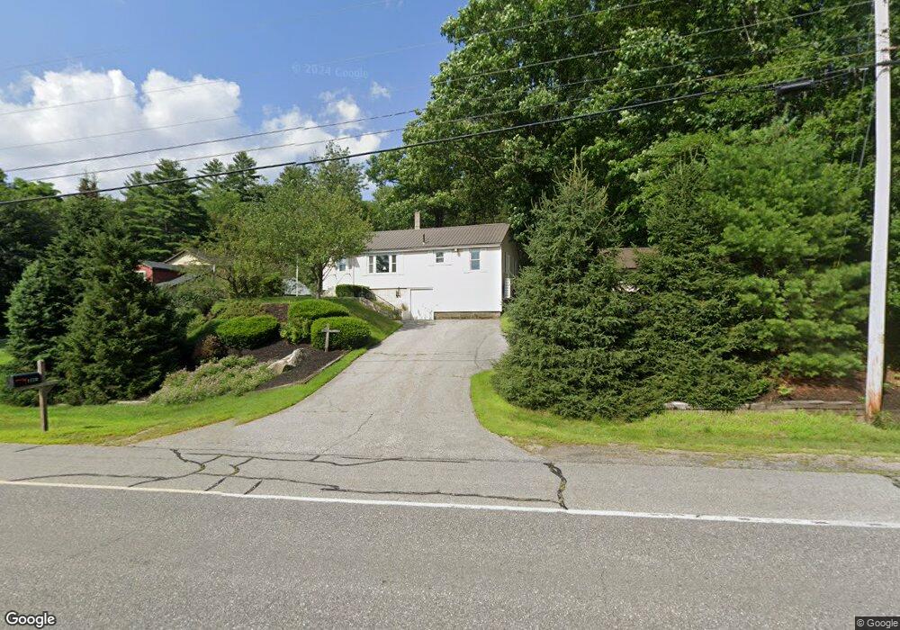
1720 Route 2 Rumford, ME 04276
Estimated Value: $152,000 - $236,585
3
Beds
2
Baths
966
Sq Ft
$205/Sq Ft
Est. Value
About This Home
This home is located at 1720 Route 2, Rumford, ME 04276 and is currently estimated at $197,896, approximately $204 per square foot. 1720 Route 2 is a home with nearby schools including Rumford Elementary School, Meroby Elementary School, and Mountain Valley Middle School.
Create a Home Valuation Report for This Property
The Home Valuation Report is an in-depth analysis detailing your home's value as well as a comparison with similar homes in the area
Home Values in the Area
Average Home Value in this Area
Tax History Compared to Growth
Tax History
| Year | Tax Paid | Tax Assessment Tax Assessment Total Assessment is a certain percentage of the fair market value that is determined by local assessors to be the total taxable value of land and additions on the property. | Land | Improvement |
|---|---|---|---|---|
| 2024 | $2,561 | $154,100 | $22,100 | $132,000 |
| 2023 | $2,442 | $110,100 | $15,800 | $94,300 |
| 2022 | $2,442 | $110,100 | $15,800 | $94,300 |
| 2021 | $2,472 | $110,100 | $15,800 | $94,300 |
| 2020 | $2,488 | $110,100 | $15,800 | $94,300 |
| 2019 | $2,351 | $77,090 | $11,500 | $65,590 |
| 2018 | $2,293 | $77,090 | $11,500 | $65,590 |
| 2017 | $2,224 | $77,090 | $11,500 | $65,590 |
| 2016 | $2,159 | $77,090 | $11,500 | $65,590 |
| 2015 | $2,116 | $77,090 | $11,500 | $65,590 |
| 2014 | $2,078 | $77,090 | $11,500 | $65,590 |
Source: Public Records
Map
Nearby Homes
- 2165 Main St
- Map 240 Lot 1 Map 239 Lot 4
- 159 Martin Rd
- 2139 Intervale Rd
- 39 Katie View Rd
- 42A Stearns Hill Rd
- 15 Off Howard Pond Small Rd
- TBD Tara's Way
- 1019 U S Highway 2
- 49 Balsam Rd
- 17 Blackberry Ln
- 1359 Route 2
- Lot 15-021 Taras Way
- Lot15-22B1 Taras Way
- 390 Howard Pond Rd
- 1318 U S 2
- L15 & 18 Off Howard Pond & Small Rd
- L18 Off Howard Pond & Small Rd
- TBD Plumbago Mountain
- 46 English Woods Rd