1720 Taylor Rd Weatherford, TX 76087
Estimated Value: $1,210,000
--
Bed
--
Bath
6,428
Sq Ft
$188/Sq Ft
Est. Value
About This Home
This home is located at 1720 Taylor Rd, Weatherford, TX 76087 and is currently priced at $1,210,000, approximately $188 per square foot. 1720 Taylor Rd is a home with nearby schools including Brock Intermediate School, Brock Junior High School, and Brock High School.
Ownership History
Date
Name
Owned For
Owner Type
Purchase Details
Closed on
Dec 23, 2008
Sold by
Brock 408 Venture Llc
Bought by
Jarma Don M and Jarma Debra F
Current Estimated Value
Purchase Details
Closed on
Sep 14, 2007
Sold by
Schutts Schutts E and Schutts Patricia
Bought by
Jarma Don M and Jarma Debra
Home Financials for this Owner
Home Financials are based on the most recent Mortgage that was taken out on this home.
Original Mortgage
$2,800,000
Interest Rate
6.7%
Mortgage Type
Purchase Money Mortgage
Purchase Details
Closed on
Sep 15, 2000
Sold by
Lowdon and Schutts Ea
Bought by
Jarma Don M and Jarma Debra
Create a Home Valuation Report for This Property
The Home Valuation Report is an in-depth analysis detailing your home's value as well as a comparison with similar homes in the area
Home Values in the Area
Average Home Value in this Area
Purchase History
| Date | Buyer | Sale Price | Title Company |
|---|---|---|---|
| Jarma Don M | -- | Rtt | |
| Jarma Don M | -- | -- | |
| Brock 408 Venture Llc | -- | None Available | |
| Jarma Don M | -- | -- |
Source: Public Records
Mortgage History
| Date | Status | Borrower | Loan Amount |
|---|---|---|---|
| Previous Owner | Brock 408 Venture Llc | $2,800,000 |
Source: Public Records
Tax History Compared to Growth
Tax History
| Year | Tax Paid | Tax Assessment Tax Assessment Total Assessment is a certain percentage of the fair market value that is determined by local assessors to be the total taxable value of land and additions on the property. | Land | Improvement |
|---|---|---|---|---|
| 2025 | $29,430 | $1,491,790 | $25,680 | $1,466,110 |
| 2024 | $29,430 | $1,590,760 | $23,550 | $1,567,210 |
| 2023 | $29,430 | $1,590,760 | $23,550 | $1,567,210 |
| 2022 | $24,177 | $1,190,860 | $12,000 | $1,178,860 |
| 2021 | $25,425 | $1,190,860 | $12,000 | $1,178,860 |
| 2020 | $25,733 | $1,188,860 | $10,000 | $1,178,860 |
| 2019 | $27,242 | $1,168,860 | $10,000 | $1,158,860 |
| 2018 | $26,311 | $1,123,890 | $8,740 | $1,115,150 |
| 2017 | $25,857 | $1,123,890 | $8,740 | $1,115,150 |
| 2016 | $25,846 | $1,123,430 | $8,280 | $1,115,150 |
| 2015 | $25,514 | $1,123,430 | $8,280 | $1,115,150 |
| 2014 | $27,547 | $1,200,420 | $5,370 | $1,195,050 |
Source: Public Records
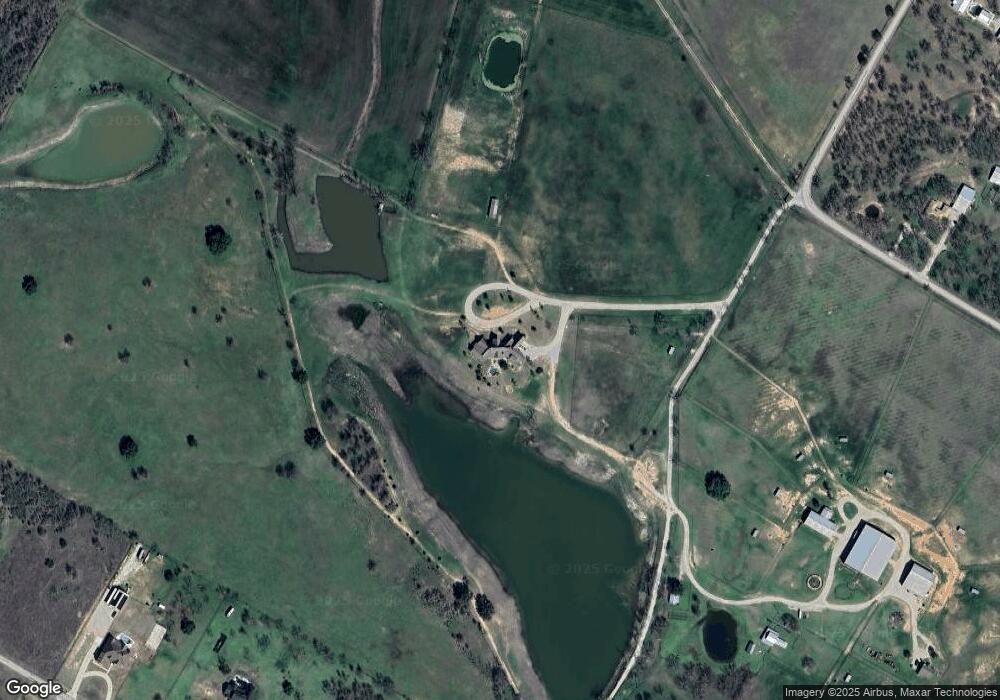
Map
Nearby Homes
- 1024 Brock Heights Ct
- 5391 Fm 1189
- 5068 Fm 1189
- 100 Tall Grass Ct
- 140 Champion Ct
- 1040 Bermes Ct
- 1004 Bermes Ct
- 401 Taylor Rd
- 243 Dixie Rd
- 7110 Farm To Market Road 1189
- 101 Heritage Springs Dr
- 109 Heritage Springs Dr
- 113 Heritage Springs Dr
- 125 Heritage Springs Dr
- 0000 Heritage Springs Dr
- 129 Heritage Springs Dr
- 137 Heritage Springs Dr
- 141 Heritage Springs Dr
- 128 Heritage Springs Dr
- 124 Heritage Springs Dr
- 1901 Taylor Rd
- 1805 Taylor Rd
- 1000 Brock Heights
- 1535 Taylor Rd
- 1024 Brock Heights SE
- 2061 Taylor Rd
- 1017 Brock Heights
- 1941 Taylor Rd
- 101 Eagle Rock Ct
- 1024 Brock Heights
- 105 Eagle Rock Ct
- 2100 Taylor Rd
- 1024 Brock Heights Dr
- 1433 Taylor Rd
- 1432 Taylor Rd
- 5854 Fm 1189
- 1401 Taylor Rd
- 158 Stardust Trail
- 5790 Fm 1189
- 5790 Fm 1189