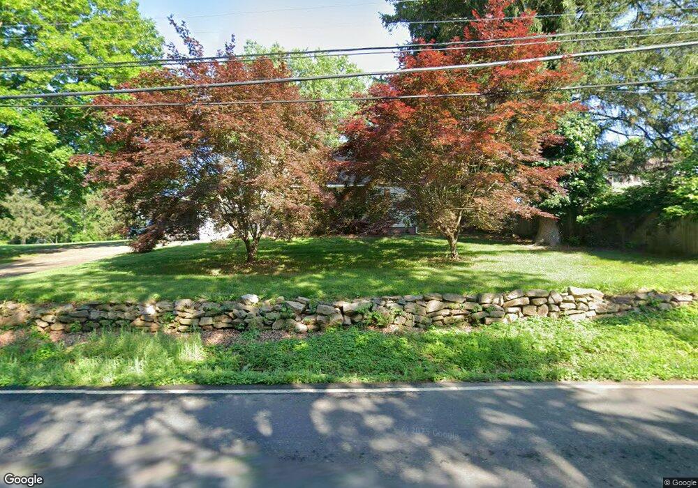
1720 Upper State Rd Doylestown, PA 18901
Estimated Value: $436,834 - $543,000
Studio
2
Baths
1,320
Sq Ft
$375/Sq Ft
Est. Value
About This Home
This home is located at 1720 Upper State Rd, Doylestown, PA 18901 and is currently estimated at $494,459, approximately $374 per square foot. 1720 Upper State Rd is a home located in Bucks County with nearby schools including Simon Butler Elementary, Unami Middle School, and Central Bucks High School - South.
Ownership History
Date
Name
Owned For
Owner Type
Purchase Details
Closed on
Sep 28, 1967
Bought by
Ranker Ronald Lee and Ranker Maxine
Current Estimated Value
Create a Home Valuation Report for This Property
The Home Valuation Report is an in-depth analysis detailing your home's value as well as a comparison with similar homes in the area
Home Values in the Area
Average Home Value in this Area
Purchase History
| Date | Buyer | Sale Price | Title Company |
|---|---|---|---|
| Ranker Ronald Lee | -- | -- |
Source: Public Records
Tax History
| Year | Tax Paid | Tax Assessment Tax Assessment Total Assessment is a certain percentage of the fair market value that is determined by local assessors to be the total taxable value of land and additions on the property. | Land | Improvement |
|---|---|---|---|---|
| 2025 | $4,298 | $24,800 | $6,560 | $18,240 |
| 2024 | $4,298 | $24,800 | $6,560 | $18,240 |
| 2023 | $4,161 | $24,800 | $6,560 | $18,240 |
| 2022 | $4,079 | $24,800 | $6,560 | $18,240 |
| 2021 | $4,033 | $24,800 | $6,560 | $18,240 |
| 2020 | $4,033 | $24,800 | $6,560 | $18,240 |
| 2019 | $3,983 | $24,800 | $6,560 | $18,240 |
| 2018 | $3,983 | $24,800 | $6,560 | $18,240 |
| 2017 | $3,952 | $24,800 | $6,560 | $18,240 |
| 2016 | $3,952 | $24,800 | $6,560 | $18,240 |
| 2015 | -- | $24,800 | $6,560 | $18,240 |
| 2014 | -- | $24,800 | $6,560 | $18,240 |
Source: Public Records
Map
Nearby Homes
- 204 Woodland Dr
- 10 W Butler Ave
- 8 E Butler Ave
- 120 Beulah Rd
- 11 W Butler Ave
- Lot 9 Butler
- 106 S Shady Retreat Rd
- 8 Elizabeth Ln
- 1 Elizabeth Ln
- 240 Green Valley Way
- 94 Sioux Rd
- 77 Lenape Dr
- 349 W Butler Ave
- 60 Cedar Dr
- 588 Almshouse Rd
- 130 Jameson Way Unit 12 WARWICK END
- 124 Jameson Way Unit 9 WARWICK INTERIOR
- 128 Jameson Way Unit 11 WARWICK INTERIOR
- 126 Jameson Way Unit 10 WARWICK INTERIOR
- 122 Jameson Way Unit 8 STRATFORD INTERIOR
- 1730 Upper Stump Rd
- 3 Goldeneye Ct
- 1714 Upper State Rd
- 1 Goldeneye Ct
- 7 Goldeneye Ct
- 6 Goldeneye Ct
- 1702 Upper State Rd
- 4 Goldeneye Ct
- 9 Goldeneye Ct
- 101 Teal Dr
- 100 Teal Dr
- 2 Goldeneye Ct
- 11 Goldeneye Ct
- 103 Teal Dr
- 102 Teal Dr
- 105 Teal Dr
- 13 Goldeneye Ct
- 1750 Upper State Rd
- 15 Goldeneye Ct
- 104 Teal Dr
Your Personal Tour Guide
Ask me questions while you tour the home.