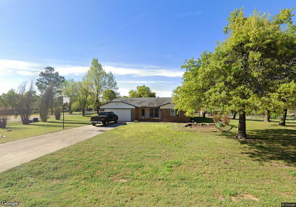
17200 Michael Dr Choctaw, OK 73020
Estimated Value: $238,000 - $273,000
3
Beds
2
Baths
1,548
Sq Ft
$167/Sq Ft
Est. Value
About This Home
This home is located at 17200 Michael Dr, Choctaw, OK 73020 and is currently estimated at $257,792, approximately $166 per square foot. 17200 Michael Dr is a home located in Oklahoma County with nearby schools including Indian Meridian Elementary School, James Griffith Intermediate Elementary School, and Choctaw Middle School.
Ownership History
Date
Name
Owned For
Owner Type
Purchase Details
Closed on
Jun 27, 2008
Sold by
Lloyd Stephen L and Lloyd Melinda K
Bought by
Horn Linda
Current Estimated Value
Purchase Details
Closed on
Oct 29, 2001
Sold by
Montano Vincent J and Montano Lori J
Bought by
Lloyd Steven L and Lloyd Melinda K
Purchase Details
Closed on
Dec 11, 1998
Sold by
Gooch Patrick H and Gooch Linda Sue
Bought by
Montano Vincent J and Montano Lori J
Create a Home Valuation Report for This Property
The Home Valuation Report is an in-depth analysis detailing your home's value as well as a comparison with similar homes in the area
Home Values in the Area
Average Home Value in this Area
Purchase History
| Date | Buyer | Sale Price | Title Company |
|---|---|---|---|
| Horn Linda | $125,000 | Capitol Abstract & Title | |
| Lloyd Steven L | $94,500 | -- | |
| Montano Vincent J | $90,000 | -- |
Source: Public Records
Tax History
| Year | Tax Paid | Tax Assessment Tax Assessment Total Assessment is a certain percentage of the fair market value that is determined by local assessors to be the total taxable value of land and additions on the property. | Land | Improvement |
|---|---|---|---|---|
| 2025 | $1,784 | $16,332 | $3,756 | $12,576 |
| 2024 | $1,795 | $16,332 | $2,989 | $13,343 |
| 2023 | $1,795 | $16,332 | $2,922 | $13,410 |
| 2022 | $1,766 | $16,332 | $2,836 | $13,496 |
| 2021 | $1,764 | $16,332 | $3,124 | $13,208 |
| 2020 | $1,771 | $16,332 | $3,367 | $12,965 |
| 2019 | $1,774 | $16,332 | $3,387 | $12,945 |
| 2018 | $1,776 | $16,333 | $0 | $0 |
| 2017 | $1,771 | $16,332 | $2,444 | $13,888 |
| 2016 | $1,779 | $16,332 | $2,554 | $13,778 |
| 2015 | $1,723 | $15,856 | $2,666 | $13,190 |
| 2014 | $1,669 | $15,408 | $2,656 | $12,752 |
Source: Public Records
Map
Nearby Homes
- 1553 Pine Meadow
- 17551 Tall Oak Rd
- 17859 Salem Rd
- 17857 Salem Rd
- 17700 SE 29th St
- 2260 Bingham Dr
- 913 Reedser Way
- 1625 Shaylee Ln
- 2117 Nixon St
- 3342 Glastonbury Way
- 3382 Glastonbury Way
- 3322 Glastonbury Way
- 16406 Sandstone Cir
- 16216 SE 26th St
- 18333 Chelsea Cir
- 3188 Somerset Farms Rd
- 151 S Peebly Rd
- 18286 Chelsea Cir
- 18297 Chelsea Cir
- 3299 Glastonbury Way
- 17380 Michael Dr
- 2000 Kenneth Ln
- 17391 Michael Dr
- 2061 Kenneth Ln
- 17361 Michael Dr
- 2010 Kenneth Ln
- 2060 Kenneth Ln
- 17360 Michael Dr
- 2091 Kenneth Ln
- 1940 Kenneth Ln
- 1900 Kenneth Ln
- 2090 Kenneth Ln
- 17341 Michael Dr
- 17340 Michael Dr
- 1880 Kenneth Ln
- 2100 Kenneth Ln
- 2101 Kenneth Ln
- 17281 Sally Cir
- 17321 Michael Dr
- 17320 Michael Dr