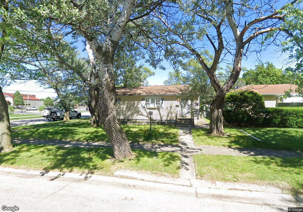
17207 Roy St Lansing, IL 60438
Estimated Value: $175,000 - $203,000
5
Beds
1
Bath
960
Sq Ft
$190/Sq Ft
Est. Value
About This Home
This home is located at 17207 Roy St, Lansing, IL 60438 and is currently estimated at $182,820, approximately $190 per square foot. 17207 Roy St is a home located in Cook County with nearby schools including Reavis Elementary School, Memorial Jr High School, and Thornton Fractnl So High School.
Ownership History
Date
Name
Owned For
Owner Type
Purchase Details
Closed on
May 9, 2007
Sold by
Sanders Tammy M
Bought by
Davis Robert L
Current Estimated Value
Home Financials for this Owner
Home Financials are based on the most recent Mortgage that was taken out on this home.
Original Mortgage
$140,000
Interest Rate
6.73%
Mortgage Type
Unknown
Purchase Details
Closed on
Jan 28, 2004
Sold by
First National Bank Of Illinois
Bought by
Sanders Tammy M
Home Financials for this Owner
Home Financials are based on the most recent Mortgage that was taken out on this home.
Original Mortgage
$92,800
Interest Rate
7.59%
Mortgage Type
Unknown
Create a Home Valuation Report for This Property
The Home Valuation Report is an in-depth analysis detailing your home's value as well as a comparison with similar homes in the area
Home Values in the Area
Average Home Value in this Area
Purchase History
| Date | Buyer | Sale Price | Title Company |
|---|---|---|---|
| Davis Robert L | $140,000 | Chicago Title Insurance Co | |
| Sanders Tammy M | -- | Multiple |
Source: Public Records
Mortgage History
| Date | Status | Borrower | Loan Amount |
|---|---|---|---|
| Previous Owner | Davis Robert L | $140,000 | |
| Previous Owner | Sanders Tammy M | $92,800 | |
| Closed | Sanders Tammy M | $17,400 |
Source: Public Records
Tax History Compared to Growth
Tax History
| Year | Tax Paid | Tax Assessment Tax Assessment Total Assessment is a certain percentage of the fair market value that is determined by local assessors to be the total taxable value of land and additions on the property. | Land | Improvement |
|---|---|---|---|---|
| 2024 | $4,686 | $13,000 | $2,568 | $10,432 |
| 2023 | $2,589 | $13,000 | $2,568 | $10,432 |
| 2022 | $2,589 | $7,405 | $2,247 | $5,158 |
| 2021 | $2,575 | $7,404 | $2,247 | $5,157 |
| 2020 | $2,524 | $7,404 | $2,247 | $5,157 |
| 2019 | $2,821 | $8,384 | $2,086 | $6,298 |
| 2018 | $2,765 | $8,384 | $2,086 | $6,298 |
| 2017 | $3,216 | $9,076 | $2,086 | $6,990 |
| 2016 | $2,496 | $7,062 | $1,926 | $5,136 |
| 2015 | $3,066 | $8,658 | $1,926 | $6,732 |
| 2014 | $3,051 | $8,658 | $1,926 | $6,732 |
| 2013 | $2,927 | $9,130 | $1,926 | $7,204 |
Source: Public Records
Map
Nearby Homes
- 17153 Walter St
- 17157 Walter St
- 17132 Walter St
- 17153 Burnham Ave
- 17138 Burnham Ave
- 17137 Greenbay Ave
- 17128 Grant St
- 17303 Roy St
- 17317 Roy St
- 3312 E 170th St
- 17258 William St
- 17331 Community St
- 3409 173rd Place
- 17048 Lorenz Ave
- 17204 Bernadine St
- 17246 Bernadine St
- 3454 E 170th St
- 17130 Park Ave
- 17419 Walter St
- 3514 170th Place