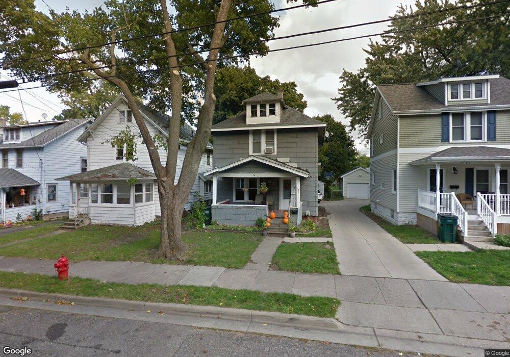
1721 Donora St Lansing, MI 48910
Fabulous Acres NeighborhoodEstimated Value: $96,000 - $154,000
Studio
--
Bath
1,419
Sq Ft
$84/Sq Ft
Est. Value
About This Home
This home is located at 1721 Donora St, Lansing, MI 48910 and is currently estimated at $119,804, approximately $84 per square foot. 1721 Donora St is a home located in Ingham County with nearby schools including Lyons Elementary School, Pattengill Academy, and Eastern High School.
Ownership History
Date
Name
Owned For
Owner Type
Purchase Details
Closed on
Jun 15, 2022
Sold by
Mischa Thelen
Bought by
Thelen Peter
Current Estimated Value
Purchase Details
Closed on
Dec 1, 2010
Sold by
Lum Brooke
Bought by
Thelen Peter
Purchase Details
Closed on
Oct 18, 2010
Sold by
Lum Jonathan
Bought by
Thelen Peter and Thelen Mischa
Purchase Details
Closed on
Dec 31, 1996
Sold by
Durfee Roger A
Bought by
Thelen Peter and Lum Jonathan
Purchase Details
Closed on
Jan 1, 1994
Create a Home Valuation Report for This Property
The Home Valuation Report is an in-depth analysis detailing your home's value as well as a comparison with similar homes in the area
Home Values in the Area
Average Home Value in this Area
Purchase History
| Date | Buyer | Sale Price | Title Company |
|---|---|---|---|
| Thelen Peter | -- | None Listed On Document | |
| Thelen Peter | -- | Dfcu Title Agency Llc | |
| Thelen Peter | -- | None Available | |
| Thelen Peter | $15,500 | -- | |
| -- | $35,900 | -- |
Source: Public Records
Tax History
| Year | Tax Paid | Tax Assessment Tax Assessment Total Assessment is a certain percentage of the fair market value that is determined by local assessors to be the total taxable value of land and additions on the property. | Land | Improvement |
|---|---|---|---|---|
| 2025 | $2,022 | $57,000 | $3,500 | $53,500 |
| 2024 | $16 | $43,700 | $3,500 | $40,200 |
| 2023 | $1,898 | $38,900 | $3,500 | $35,400 |
| 2022 | $1,714 | $36,400 | $3,000 | $33,400 |
| 2021 | $1,678 | $33,500 | $2,900 | $30,600 |
| 2020 | $1,668 | $30,900 | $2,900 | $28,000 |
| 2019 | $1,597 | $28,200 | $2,900 | $25,300 |
| 2018 | $1,499 | $25,000 | $2,900 | $22,100 |
| 2017 | $1,434 | $25,000 | $2,900 | $22,100 |
| 2016 | $1,403 | $24,600 | $2,900 | $21,700 |
| 2015 | $1,403 | $24,100 | $5,726 | $18,374 |
| 2014 | $1,403 | $24,300 | $4,405 | $19,895 |
Source: Public Records
Map
Nearby Homes
- 1731 Lyons Ave
- 1701 Lyons Ave
- 1601 Bailey St
- 1437 Ada St
- 704 Mckim Ave
- 1522 Bailey St
- 1535 Linval St
- 1423 Pontiac St
- 1501 Shubel Ave
- 1515 Linval St
- 2201 S Pennsylvania Ave
- 534 Isbell St
- 2118 Roberts Ln
- 2215 Alpha St
- 1406 E Mount Hope Ave
- 706 Beulah St
- 2309 S Pennsylvania Ave
- 506 Christiancy St
- 1731 Herbert St
- 315 E Mount Hope Ave
- 1715 Donora St
- 1711 Donora St
- 1727 Donora St
- 1709 Donora St
- 1731 Donora St
- 1707 Donora St
- 1735 Donora St
- 1705 Donora St
- 1720 Donora St
- 1722 Donora St
- 1714 Donora St
- 1728 Donora St
- 1803 Donora St
- 1703 Donora St
- 1732 Donora St
- 1706 Donora St
- 1629 Donora St
- 1712 S Pennsylvania Ave
- 1734 Donora St
- 1700 Donora St
Your Personal Tour Guide
Ask me questions while you tour the home.