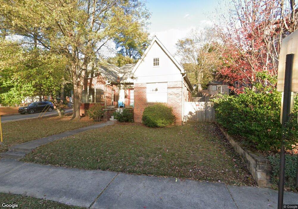
1721 Monroe Dr NE Atlanta, GA 30324
Morningside NeighborhoodEstimated Value: $689,000 - $765,000
3
Beds
3
Baths
1,606
Sq Ft
$449/Sq Ft
Est. Value
About This Home
This home is located at 1721 Monroe Dr NE, Atlanta, GA 30324 and is currently estimated at $721,718, approximately $449 per square foot. 1721 Monroe Dr NE is a home located in Fulton County with nearby schools including Morningside Elementary School, Midtown High School, and Kindezi Old 4th Ward.
Ownership History
Date
Name
Owned For
Owner Type
Purchase Details
Closed on
Mar 30, 2015
Sold by
Frisina Peter A
Bought by
Deaw Investments Llc
Current Estimated Value
Purchase Details
Closed on
Apr 30, 2004
Sold by
Hunter Bruce
Bought by
Frisina Peter A
Home Financials for this Owner
Home Financials are based on the most recent Mortgage that was taken out on this home.
Original Mortgage
$224,000
Interest Rate
4.88%
Mortgage Type
New Conventional
Purchase Details
Closed on
Aug 23, 1996
Sold by
Wilen Joseph M
Bought by
Hunter Bruce H
Create a Home Valuation Report for This Property
The Home Valuation Report is an in-depth analysis detailing your home's value as well as a comparison with similar homes in the area
Home Values in the Area
Average Home Value in this Area
Purchase History
| Date | Buyer | Sale Price | Title Company |
|---|---|---|---|
| Deaw Investments Llc | $355,000 | -- | |
| Frisina Peter A | $280,000 | -- | |
| Hunter Bruce H | $132,000 | -- |
Source: Public Records
Mortgage History
| Date | Status | Borrower | Loan Amount |
|---|---|---|---|
| Previous Owner | Frisina Peter A | $224,000 | |
| Closed | Hunter Bruce H | $0 |
Source: Public Records
Tax History Compared to Growth
Tax History
| Year | Tax Paid | Tax Assessment Tax Assessment Total Assessment is a certain percentage of the fair market value that is determined by local assessors to be the total taxable value of land and additions on the property. | Land | Improvement |
|---|---|---|---|---|
| 2025 | $7,873 | $240,160 | $87,200 | $152,960 |
| 2023 | $9,010 | $217,640 | $68,320 | $149,320 |
| 2022 | $8,808 | $217,640 | $68,320 | $149,320 |
| 2021 | $8,559 | $211,280 | $66,320 | $144,960 |
| 2020 | $7,908 | $193,040 | $82,640 | $110,400 |
| 2019 | $924 | $189,600 | $81,160 | $108,440 |
| 2018 | $6,907 | $166,840 | $34,640 | $132,200 |
| 2017 | $6,133 | $142,000 | $29,480 | $112,520 |
| 2016 | $6,149 | $142,000 | $29,480 | $112,520 |
| 2015 | $5,939 | $116,920 | $24,280 | $92,640 |
| 2014 | -- | $116,920 | $24,280 | $92,640 |
Source: Public Records
Map
Nearby Homes
- 1705 Monroe Dr NE Unit C05
- 1705 Monroe Dr NE Unit B4
- 1761 Monroe Dr NE
- 534 Allen Rd NE
- 1803 White Oak Hollow NE
- 1835 Rock Springs Ln NE
- 388 Beverly Rd NE
- 1779 Beckham Place NE
- 621 E Morningside Dr NE
- 1822 N Rock Springs Rd NE Unit 24
- 1821 N Rock Springs Rd NE
- 502 Ansley Villa Dr NE
- 601 Sherwood Rd NE
- 18 Polo Dr NE
- 98 Maddox Dr NE
- 1751 N Pelham Rd NE
- 1717 Monroe Dr NE
- 477 Montgomery Ferry Rd NE
- 483 Montgomery Ferry Dr NE
- 1735 Monroe Dr NE
- 1705 Monroe Dr NE Unit C2
- 1705 Monroe Dr NE Unit A1
- 1705 Monroe Dr NE Unit B04
- 1705 Monroe Dr NE Unit C03
- 1705 Monroe Dr NE Unit A5
- 1705 Monroe Dr NE Unit C4
- 1705 Monroe Dr NE Unit C-13
- 1705 Monroe Dr NE Unit B03
- 1705 Monroe Dr NE Unit E02
- 1705 Monroe Dr NE Unit A10
- 1705 Monroe Dr NE Unit A03
- 1705 Monroe Dr NE Unit A05
- 1705 Monroe Dr NE Unit E06
- 1705 Monroe Dr NE Unit E04