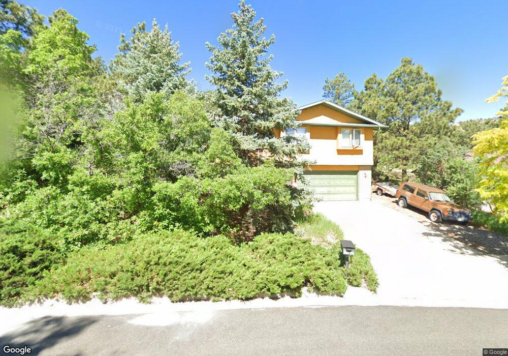
1721 Palm Dr Colorado Springs, CO 80918
Garden Ranch NeighborhoodEstimated Value: $468,000 - $512,000
3
Beds
3
Baths
1,346
Sq Ft
$362/Sq Ft
Est. Value
About This Home
This home is located at 1721 Palm Dr, Colorado Springs, CO 80918 and is currently estimated at $486,580, approximately $361 per square foot. 1721 Palm Dr is a home located in El Paso County with nearby schools including Audubon Elementary School, Mann Middle School, and Coronado High School.
Ownership History
Date
Name
Owned For
Owner Type
Purchase Details
Closed on
Apr 1, 1998
Sold by
Rogan Dennis R and Rogan Linda
Bought by
Lackey Robert J and Lackey Barbara A
Current Estimated Value
Home Financials for this Owner
Home Financials are based on the most recent Mortgage that was taken out on this home.
Original Mortgage
$166,860
Outstanding Balance
$31,509
Interest Rate
7.04%
Mortgage Type
VA
Estimated Equity
$455,071
Purchase Details
Closed on
Jul 25, 1997
Sold by
Loeber William E
Bought by
Rogan Dennis R and Rogan Linda
Home Financials for this Owner
Home Financials are based on the most recent Mortgage that was taken out on this home.
Original Mortgage
$129,600
Interest Rate
7.72%
Purchase Details
Closed on
Feb 12, 1992
Bought by
Lackey Robert J and Lackey Barbara A
Purchase Details
Closed on
Dec 28, 1990
Bought by
Lackey Robert J and Lackey Barbara A
Create a Home Valuation Report for This Property
The Home Valuation Report is an in-depth analysis detailing your home's value as well as a comparison with similar homes in the area
Home Values in the Area
Average Home Value in this Area
Purchase History
| Date | Buyer | Sale Price | Title Company |
|---|---|---|---|
| Lackey Robert J | $162,000 | First American | |
| Rogan Dennis R | $150,000 | Unified Title Co Inc | |
| Lackey Robert J | $15,500 | -- | |
| Lackey Robert J | $190,000 | -- |
Source: Public Records
Mortgage History
| Date | Status | Borrower | Loan Amount |
|---|---|---|---|
| Open | Lackey Robert J | $166,860 | |
| Previous Owner | Rogan Dennis R | $129,600 |
Source: Public Records
Tax History Compared to Growth
Tax History
| Year | Tax Paid | Tax Assessment Tax Assessment Total Assessment is a certain percentage of the fair market value that is determined by local assessors to be the total taxable value of land and additions on the property. | Land | Improvement |
|---|---|---|---|---|
| 2025 | $1,644 | $32,470 | -- | -- |
| 2024 | $1,161 | $34,010 | $5,280 | $28,730 |
| 2023 | $1,161 | $34,010 | $5,280 | $28,730 |
| 2022 | $933 | $23,630 | $3,960 | $19,670 |
| 2021 | $1,013 | $24,320 | $4,080 | $20,240 |
| 2020 | $954 | $21,210 | $3,580 | $17,630 |
| 2019 | $1,432 | $21,210 | $3,580 | $17,630 |
| 2018 | $1,276 | $17,390 | $2,740 | $14,650 |
| 2017 | $1,209 | $17,390 | $2,740 | $14,650 |
| 2016 | $962 | $16,590 | $2,870 | $13,720 |
| 2015 | $958 | $16,590 | $2,870 | $13,720 |
| 2014 | $978 | $16,260 | $2,870 | $13,390 |
Source: Public Records
Map
Nearby Homes
- 1826 Palm Dr
- 3821 Meadow Ln
- 1424 Columbine Rd
- 2140 Palm Dr
- 2310 Royal Palm Dr
- 1614 Westmoreland Rd
- 2022 Palm Dr
- 2028 Palm Dr
- 2328 Troy Ct Unit 2328
- 1319 Acacia Dr
- 1411 Acacia Dr
- 1415 Acacia Dr
- 4410 Campus Bluffs Ct
- 2355 Troy Ct
- 2039 Palm Dr
- 2131 Troy Ct Unit 2131
- 1212 Westmoreland Rd
- 2430 Blazek Loop
- 3605 Windsor Ave
- 4636 Bethany Ct