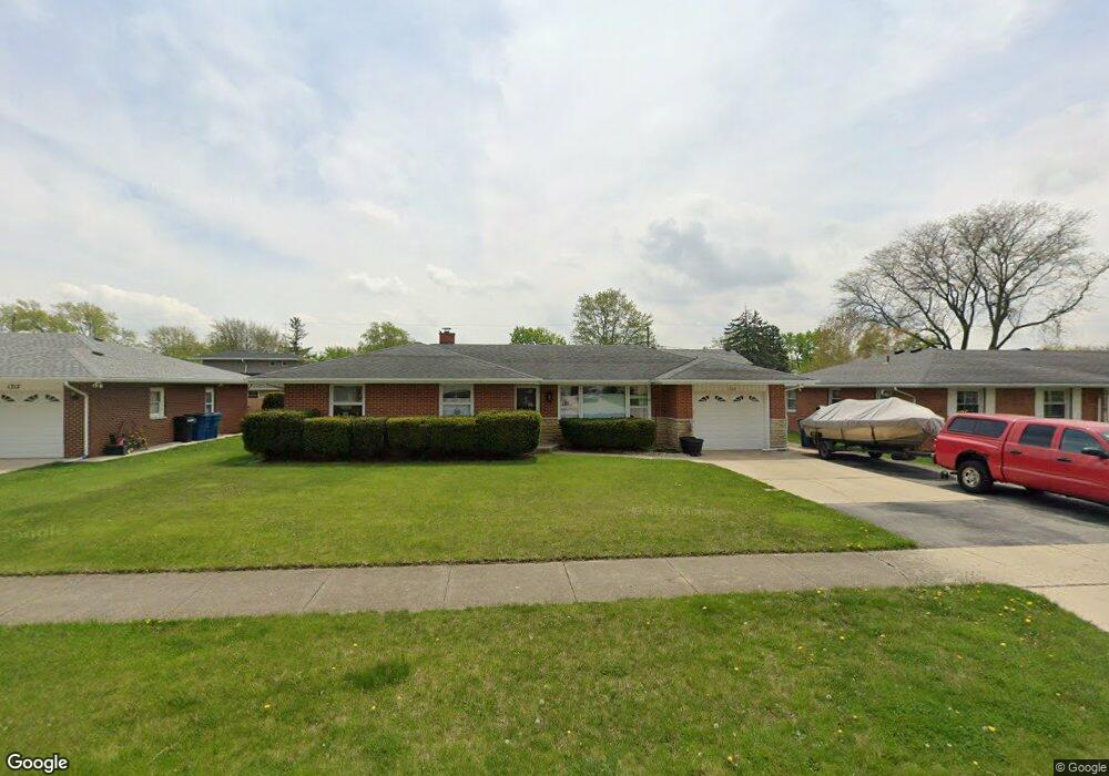
1721 Root St Crest Hill, IL 60403
Estimated Value: $258,687 - $308,000
Studio
--
Bath
--
Sq Ft
8,712
Sq Ft Lot
About This Home
This home is located at 1721 Root St, Crest Hill, IL 60403 and is currently estimated at $285,672. 1721 Root St is a home located in Will County with nearby schools including Richland Elementary School, Richland Jr High School, and Lockport Township High School East.
Ownership History
Date
Name
Owned For
Owner Type
Purchase Details
Closed on
Jan 29, 2002
Sold by
Ferenchik Ronald J
Bought by
Allsworth Conrad and Allsworth Sandra M
Current Estimated Value
Home Financials for this Owner
Home Financials are based on the most recent Mortgage that was taken out on this home.
Original Mortgage
$126,100
Outstanding Balance
$52,877
Interest Rate
7.26%
Estimated Equity
$232,795
Purchase Details
Closed on
Apr 27, 1998
Sold by
Ferenchik Olga M
Bought by
Ferenchik Ronald J
Create a Home Valuation Report for This Property
The Home Valuation Report is an in-depth analysis detailing your home's value as well as a comparison with similar homes in the area
Home Values in the Area
Average Home Value in this Area
Purchase History
| Date | Buyer | Sale Price | Title Company |
|---|---|---|---|
| Allsworth Conrad | $130,000 | -- | |
| Ferenchik Ronald J | -- | -- |
Source: Public Records
Mortgage History
| Date | Status | Borrower | Loan Amount |
|---|---|---|---|
| Open | Allsworth Conrad | $126,100 |
Source: Public Records
Tax History
| Year | Tax Paid | Tax Assessment Tax Assessment Total Assessment is a certain percentage of the fair market value that is determined by local assessors to be the total taxable value of land and additions on the property. | Land | Improvement |
|---|---|---|---|---|
| 2024 | $5,851 | $80,485 | $23,165 | $57,320 |
| 2023 | $5,851 | $72,255 | $20,796 | $51,459 |
| 2022 | $4,873 | $62,895 | $18,102 | $44,793 |
| 2021 | $4,606 | $59,107 | $17,012 | $42,095 |
| 2020 | $4,476 | $57,164 | $16,453 | $40,711 |
| 2019 | $4,229 | $54,184 | $15,595 | $38,589 |
| 2018 | $3,894 | $49,114 | $14,136 | $34,978 |
| 2017 | $3,673 | $46,365 | $13,345 | $33,020 |
| 2016 | $3,508 | $43,454 | $12,507 | $30,947 |
| 2015 | $3,307 | $41,345 | $11,900 | $29,445 |
| 2014 | $3,307 | $39,376 | $11,333 | $28,043 |
| 2013 | $3,307 | $40,594 | $11,684 | $28,910 |
Source: Public Records
Map
Nearby Homes
- 0 Essington & Ingalls Rd Unit MRD12400228
- 2154 Sandhill Ct
- 1400 Berta Dr
- 1339 Harvest Dr
- 2145 Root St
- 1824 Plainfield Rd
- LOTS 4 & 5 Plainfield Rd
- 1310 Harvest Dr
- 1804 Willow Circle Dr Unit D
- Vacant Heiden Ave
- 1694 Willow Circle Dr Unit B
- 1822 Barthelone Ave
- 17104 Weber Rd
- 2322 Greengold St
- 21401 Prestwick Dr
- 2351 Caton Farm Rd
- 1402 Boston Ave
- 1621 Innercircle Dr Unit 1
- 2300 Gaylord Rd
- 21449 Carlton St