17216 NE 189th St Brush Prairie, WA 98606
Estimated Value: $961,000 - $1,121,000
4
Beds
2
Baths
2,260
Sq Ft
$465/Sq Ft
Est. Value
About This Home
This home is located at 17216 NE 189th St, Brush Prairie, WA 98606 and is currently estimated at $1,051,697, approximately $465 per square foot. 17216 NE 189th St is a home located in Clark County with nearby schools including Tukes Valley Primary School, Tukes Valley Middle School, and Battle Ground High School.
Ownership History
Date
Name
Owned For
Owner Type
Purchase Details
Closed on
Oct 10, 2005
Sold by
Lensing Gary L and Lensing Virginia L
Bought by
Salsbery Scott and Salsbery Brenda
Current Estimated Value
Home Financials for this Owner
Home Financials are based on the most recent Mortgage that was taken out on this home.
Original Mortgage
$150,000
Outstanding Balance
$79,882
Interest Rate
5.68%
Mortgage Type
Credit Line Revolving
Estimated Equity
$971,815
Purchase Details
Closed on
Jun 6, 1997
Sold by
Anderson Curt J and Anderson Curtis J
Bought by
Lensing Gary L and Lensing Virginia L
Home Financials for this Owner
Home Financials are based on the most recent Mortgage that was taken out on this home.
Original Mortgage
$167,000
Interest Rate
8.08%
Create a Home Valuation Report for This Property
The Home Valuation Report is an in-depth analysis detailing your home's value as well as a comparison with similar homes in the area
Home Values in the Area
Average Home Value in this Area
Purchase History
| Date | Buyer | Sale Price | Title Company |
|---|---|---|---|
| Salsbery Scott | $549,000 | First American Title | |
| Lensing Gary L | $242,000 | Transnation Title Insurance |
Source: Public Records
Mortgage History
| Date | Status | Borrower | Loan Amount |
|---|---|---|---|
| Open | Salsbery Scott | $150,000 | |
| Open | Salsbery Scott | $359,650 | |
| Previous Owner | Lensing Gary L | $167,000 |
Source: Public Records
Tax History Compared to Growth
Tax History
| Year | Tax Paid | Tax Assessment Tax Assessment Total Assessment is a certain percentage of the fair market value that is determined by local assessors to be the total taxable value of land and additions on the property. | Land | Improvement |
|---|---|---|---|---|
| 2025 | $7,111 | $861,001 | $310,207 | $550,794 |
| 2024 | $5,690 | $860,216 | $310,207 | $550,009 |
| 2023 | $6,287 | $785,249 | $300,816 | $484,433 |
| 2022 | $6,007 | $793,775 | $327,690 | $466,085 |
| 2021 | $6,034 | $660,608 | $277,139 | $383,469 |
| 2020 | $5,815 | $607,297 | $254,672 | $352,625 |
| 2019 | $4,887 | $570,793 | $234,452 | $336,341 |
| 2018 | $5,710 | $550,664 | $0 | $0 |
| 2017 | $4,905 | $490,127 | $0 | $0 |
| 2016 | $4,823 | $459,588 | $0 | $0 |
| 2015 | $4,517 | $414,800 | $0 | $0 |
| 2014 | -- | $367,120 | $0 | $0 |
| 2013 | -- | $341,119 | $0 | $0 |
Source: Public Records
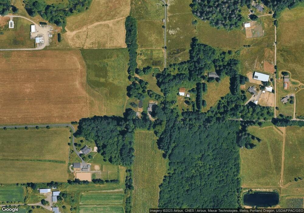
Map
Nearby Homes
- 18426 NE 191st Cir
- 19911 NE 179th Ct
- 18511 NE 181st St
- 2704 SE 25th Ave
- 2344 SE 27th St
- 15811 NE 180th St
- 2706 SE 22nd Ave
- 2805 SE 21st Place
- 17600 NE 188th Ct
- 2312 SE Eaton Blvd
- 2835 SE 20th Ave
- 20205 NE 190th Ave
- 2036 SE 27th St
- 2703 SE 18th Ave
- 2708 SE 18th Ave
- 15615 NE 182nd Ave
- 3887 SE 19th Ave
- 14903 NE 182nd Cir
- 3309 SE 12th Ave
- 3313 SE 12th Ave
- 17416 NE 189th St
- 18821 NE 167th Ave
- 17602 NE 189th St
- 17308 NE 189th St
- 18601 NE 167th Ave
- 17810 NE 189th St
- 19211 NE 167th Ave
- 17712 NE 189th St
- 0 NE 167 Ave Unit 22022078
- 17700 NE 184th St
- 16205 NE 189th Cir
- 17916 NE 189th St
- 17912 NE 191st Cir
- 16921 NE 196th St
- 17001 NE 196th St
- 19547 NE 167th Ave
- 19607 NE 173rd Ct
- 19607 NE 173rd Ct
- 17103 NE 196th St
- 18307 NE 167th Ave