17217 Sherman Rd Prairie Grove, AR 72753
Estimated Value: $329,000 - $353,308
--
Bed
1
Bath
1,562
Sq Ft
$217/Sq Ft
Est. Value
About This Home
This home is located at 17217 Sherman Rd, Prairie Grove, AR 72753 and is currently estimated at $339,436, approximately $217 per square foot. 17217 Sherman Rd is a home located in Washington County with nearby schools including Prairie Grove Elementary School, Prairie Grove Middle School, and Prairie Grove Junior High School.
Ownership History
Date
Name
Owned For
Owner Type
Purchase Details
Closed on
Aug 18, 2022
Sold by
Velma Pershall Revocable Living Trust
Bought by
Pershall Family Trust
Current Estimated Value
Purchase Details
Closed on
Nov 4, 2015
Bought by
Pershall Velma F
Purchase Details
Closed on
Jan 1, 1985
Bought by
Pershall Bill J and Pershall Velma F
Create a Home Valuation Report for This Property
The Home Valuation Report is an in-depth analysis detailing your home's value as well as a comparison with similar homes in the area
Home Values in the Area
Average Home Value in this Area
Purchase History
| Date | Buyer | Sale Price | Title Company |
|---|---|---|---|
| Pershall Family Trust | -- | -- | |
| Pershall Velma F | -- | -- | |
| Pershall Bill J | -- | -- |
Source: Public Records
Tax History Compared to Growth
Tax History
| Year | Tax Paid | Tax Assessment Tax Assessment Total Assessment is a certain percentage of the fair market value that is determined by local assessors to be the total taxable value of land and additions on the property. | Land | Improvement |
|---|---|---|---|---|
| 2025 | $584 | $12,450 | $7,340 | $5,110 |
| 2024 | $1,496 | $33,500 | $7,340 | $26,160 |
| 2023 | $1,414 | $33,500 | $7,340 | $26,160 |
| 2022 | $1,352 | $26,240 | $6,280 | $19,960 |
| 2021 | $1,352 | $26,240 | $6,280 | $19,960 |
| 2020 | $1,274 | $26,240 | $6,280 | $19,960 |
| 2019 | $1,173 | $22,400 | $5,860 | $16,540 |
| 2018 | $1,173 | $22,400 | $5,860 | $16,540 |
| 2017 | $1,097 | $22,430 | $5,890 | $16,540 |
| 2016 | $1,163 | $22,430 | $5,890 | $16,540 |
| 2015 | $1,163 | $22,430 | $5,890 | $16,540 |
| 2014 | $1,158 | $22,310 | $5,610 | $16,700 |
Source: Public Records
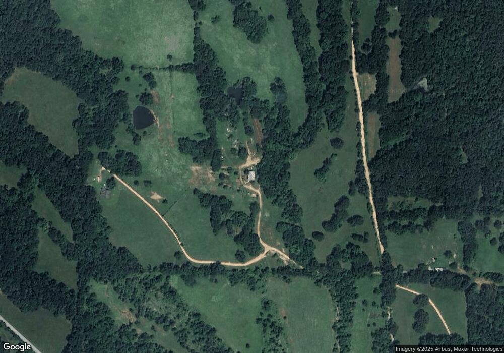
Map
Nearby Homes
- 16175 Cove Creek N
- 16175 N Cove Creek Wc 21 Rd
- 19055 S Cove Creek Rd
- 16291 S Highway 265
- 14295 Blue Mountain Rd
- 841 Petit Jean St
- 18544 Bug Scuffle Rd
- 16293 Arkansas 265
- 16380 Cove Creek Rd N
- 13184 Cove Creek Rd N
- 443 Hall St
- 15607 Hubbard Rd
- 30.47 Acres Onda Mountain (Wc 213)
- 00 8.86 acres Hubbard Rd
- 00 Hubbard Rd
- 16041 Clyde Rd
- 16477 Greasy Valley Rd
- 0 Antioch Rd Unit 20312807
- 15339 State Highway 45
- 18880 & 18882 Skylight Mountain Rd
- 16848 Sherman Rd
- TBD Four Corners Rd
- 17232 Sherman Rd
- 15836 Four Corner Rd
- 15900 Four Corner Rd
- 16835 Sherman Rd
- 15898 Four Corner Rd
- 15710 Four Corner Rd
- 17511 Cove Creek N
- 17511 Cove Creek N
- 17185 Cove Creek N
- 16721 Sherman Rd
- 15734 Four Corner Rd
- 16725 Sherman Rd
- 15877 Four Corner Rd
- 15651 Four Corner Rd
- 17276 Cove Creek N
- 16631 Sherman Rd
- 16821 Blue Mountain Rd
- 16089 Four Corner Rd