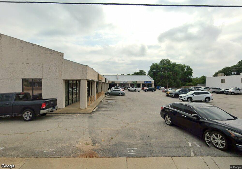
1722 Broad River Rd Columbia, SC 29210
Saint Andrews NeighborhoodEstimated Value: $1,426,777
Studio
12
Baths
1,600
Sq Ft
$892/Sq Ft
Est. Value
About This Home
This home is located at 1722 Broad River Rd, Columbia, SC 29210 and is currently estimated at $1,426,777, approximately $891 per square foot. 1722 Broad River Rd is a home located in Richland County with nearby schools including H. B. Rhame Elementary School, St. Andrews Middle School, and Columbia High School.
Ownership History
Date
Name
Owned For
Owner Type
Purchase Details
Closed on
Feb 3, 2014
Sold by
River Center Associates Ii
Bought by
River Center Iv Llc
Current Estimated Value
Home Financials for this Owner
Home Financials are based on the most recent Mortgage that was taken out on this home.
Original Mortgage
$637,500
Interest Rate
4.56%
Mortgage Type
Future Advance Clause Open End Mortgage
Create a Home Valuation Report for This Property
The Home Valuation Report is an in-depth analysis detailing your home's value as well as a comparison with similar homes in the area
Home Values in the Area
Average Home Value in this Area
Purchase History
| Date | Buyer | Sale Price | Title Company |
|---|---|---|---|
| River Center Iv Llc | $715,000 | None Available |
Source: Public Records
Mortgage History
| Date | Status | Borrower | Loan Amount |
|---|---|---|---|
| Closed | River Center Iv Llc | $637,500 |
Source: Public Records
Tax History
| Year | Tax Paid | Tax Assessment Tax Assessment Total Assessment is a certain percentage of the fair market value that is determined by local assessors to be the total taxable value of land and additions on the property. | Land | Improvement |
|---|---|---|---|---|
| 2024 | $24,531 | $945,700 | $0 | $0 |
| 2023 | $23,957 | $0 | $0 | $0 |
| 2022 | $21,992 | $822,300 | $313,200 | $509,100 |
| 2021 | $0 | $49,340 | $0 | $0 |
| 2020 | $22,277 | $49,340 | $0 | $0 |
| 2019 | $22,392 | $49,340 | $0 | $0 |
| 2018 | $19,673 | $42,900 | $0 | $0 |
| 2017 | $19,073 | $42,900 | $0 | $0 |
| 2016 | $18,712 | $42,900 | $0 | $0 |
| 2015 | $18,678 | $42,900 | $0 | $0 |
| 2014 | $24,292 | $953,000 | $0 | $0 |
| 2013 | -- | $57,180 | $0 | $0 |
Source: Public Records
Map
Nearby Homes
- 112 Gateway Ln
- 201 Burbank St
- 1540 Romain Dr
- 1707 Carl Rd
- 1650 Omarest Dr
- 1127 Shirlington Rd
- 1727 Omarest Dr
- 1613 Ashford Ln
- 116 Leyden Ln
- 529 Cambout St
- 0 Marley Dr Unit 623584
- 946 Bakersfield Rd
- 1510 Canal Dr
- 1908 Grays Inn Rd
- 1913 Grays Inn Rd
- 924 Bakersfield Rd
- 137 Arrowwood Rd
- 506 Menlo Dr
- 517 Menlo Dr
- 112 Menlo Dr
- 141 Wynfield Ct
- 1319 Omarest Dr
- 139 Wynfield Ct
- 133 Wynfield Ct
- 129 Wynfield Ct
- 128 Wynfield Ct
- 1325 Omarest Dr
- 125 Wynfield Ct
- 124 Wynfield Ct
- 121 Wynfield Ct
- 221 Gateway Ln
- 120 Wynfield Ct
- 117 Wynfield Ct
- 217 Gateway Ln
- 116 Wynfield Ct
- 220 Gateway Ln
- 113 Wynfield Ct
- 213 Gateway Ln
- 112 Wynfield Ct
- 109 Wynfield Ct
Your Personal Tour Guide
Ask me questions while you tour the home.