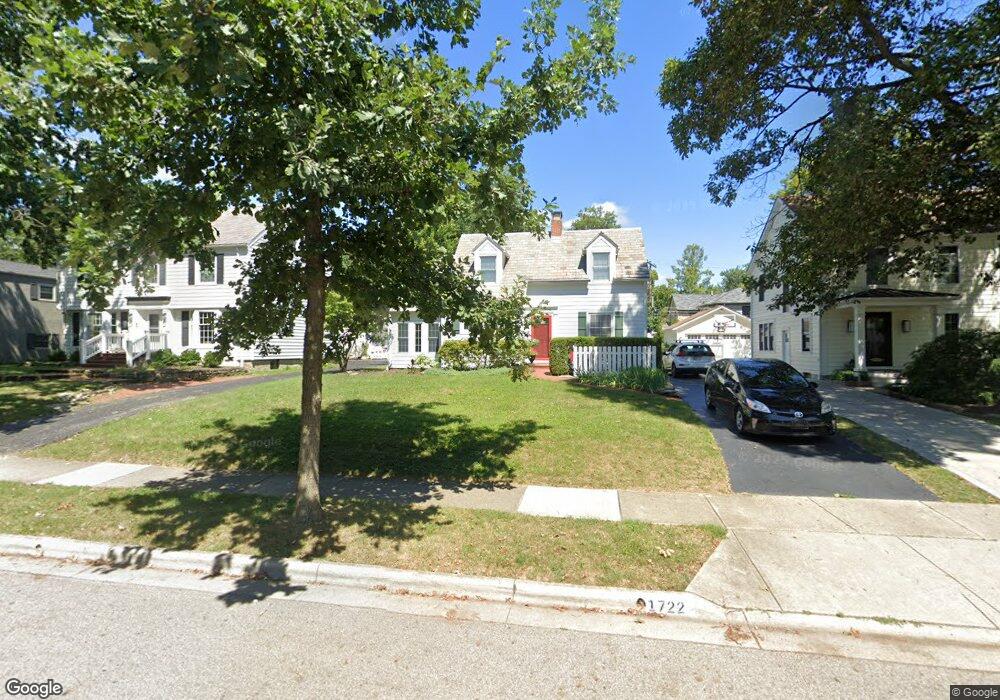
1722 Doone Rd Columbus, OH 43221
Estimated Value: $697,441 - $803,000
4
Beds
3
Baths
2,310
Sq Ft
$325/Sq Ft
Est. Value
About This Home
This home is located at 1722 Doone Rd, Columbus, OH 43221 and is currently estimated at $750,360, approximately $324 per square foot. 1722 Doone Rd is a home located in Franklin County with nearby schools including Barrington Road Elementary School, Jones Middle School, and Upper Arlington High School.
Ownership History
Date
Name
Owned For
Owner Type
Purchase Details
Closed on
Oct 29, 2001
Sold by
Kompa John R and Kompa Natalie D
Bought by
Dickinson Matthew B and Dickinson Elaine
Current Estimated Value
Home Financials for this Owner
Home Financials are based on the most recent Mortgage that was taken out on this home.
Original Mortgage
$201,000
Interest Rate
6.18%
Mortgage Type
Purchase Money Mortgage
Purchase Details
Closed on
Mar 7, 1994
Bought by
Kompa John R
Create a Home Valuation Report for This Property
The Home Valuation Report is an in-depth analysis detailing your home's value as well as a comparison with similar homes in the area
Home Values in the Area
Average Home Value in this Area
Purchase History
| Date | Buyer | Sale Price | Title Company |
|---|---|---|---|
| Dickinson Matthew B | $375,000 | -- | |
| Kompa John R | $133,000 | -- |
Source: Public Records
Mortgage History
| Date | Status | Borrower | Loan Amount |
|---|---|---|---|
| Closed | Dickinson Matthew B | $201,000 |
Source: Public Records
Tax History
| Year | Tax Paid | Tax Assessment Tax Assessment Total Assessment is a certain percentage of the fair market value that is determined by local assessors to be the total taxable value of land and additions on the property. | Land | Improvement |
|---|---|---|---|---|
| 2025 | $10,867 | $187,710 | $70,560 | $117,150 |
| 2024 | $10,867 | $187,710 | $70,560 | $117,150 |
| 2023 | $10,732 | $187,710 | $70,560 | $117,150 |
| 2022 | $11,131 | $159,290 | $44,940 | $114,350 |
| 2021 | $9,853 | $159,290 | $44,940 | $114,350 |
| 2020 | $9,766 | $159,290 | $44,940 | $114,350 |
| 2019 | $9,106 | $131,320 | $44,940 | $86,380 |
| 2018 | $8,429 | $131,320 | $44,940 | $86,380 |
| 2017 | $9,136 | $131,320 | $44,940 | $86,380 |
| 2016 | $7,810 | $116,620 | $35,560 | $81,060 |
| 2015 | $7,803 | $116,620 | $35,560 | $81,060 |
| 2014 | $7,713 | $116,620 | $35,560 | $81,060 |
| 2013 | $3,733 | $106,015 | $32,340 | $73,675 |
Source: Public Records
Map
Nearby Homes
- 1869 Tewksbury Rd
- 1565 Berkshire Rd
- 2000 Northwest Blvd Unit D
- 1489 Westminster Dr
- 2367 Southway Dr
- 2583 Wexford Rd
- 1810 Ashland Ave
- 1785 Northwest Ct Unit D
- 1799 Kings Ct Unit B
- 1960 Hillside Dr
- 2748 Tremont Rd
- 1507 Chesapeake Ave
- 1493 Chesapeake Ave
- 1461-1467 Chesapeake Ave
- 1624 Ashland Ave
- 2031 Concord Rd
- 1606 Elmwood Ave
- 2015 W 5th Ave Unit 211
- 2015 W 5th Ave Unit 102
- 2015 W 5th Ave Unit 108
Your Personal Tour Guide
Ask me questions while you tour the home.