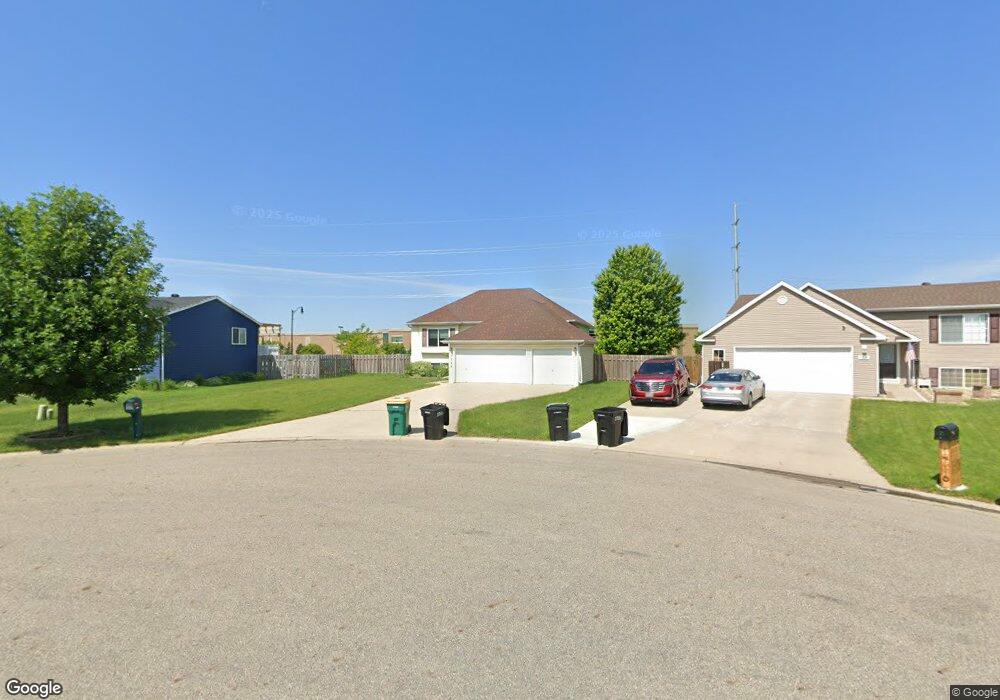
1722 Huntington Ct West Fargo, ND 58078
Arbor Glen NeighborhoodEstimated Value: $308,000 - $338,000
3
Beds
1
Bath
2,022
Sq Ft
$161/Sq Ft
Est. Value
About This Home
This home is located at 1722 Huntington Ct, West Fargo, ND 58078 and is currently estimated at $326,532, approximately $161 per square foot. 1722 Huntington Ct is a home located in Cass County with nearby schools including Willow Park Elementary School, Cheney Middle School, and West Fargo High School.
Ownership History
Date
Name
Owned For
Owner Type
Purchase Details
Closed on
Jul 9, 2020
Sold by
Stene Shane A
Bought by
Willstein Ronald L
Current Estimated Value
Home Financials for this Owner
Home Financials are based on the most recent Mortgage that was taken out on this home.
Original Mortgage
$232,750
Outstanding Balance
$206,387
Interest Rate
3.1%
Mortgage Type
New Conventional
Estimated Equity
$120,145
Purchase Details
Closed on
Apr 18, 2012
Sold by
Gross Travis E and Gross Katrina M
Bought by
Stene Shane A
Purchase Details
Closed on
Mar 6, 2008
Sold by
Ystboe Jay T and Ystboe Shannon L
Bought by
Gross Travis E and Bubbers Katrina M
Home Financials for this Owner
Home Financials are based on the most recent Mortgage that was taken out on this home.
Original Mortgage
$148,650
Interest Rate
5.5%
Mortgage Type
FHA
Create a Home Valuation Report for This Property
The Home Valuation Report is an in-depth analysis detailing your home's value as well as a comparison with similar homes in the area
Home Values in the Area
Average Home Value in this Area
Purchase History
| Date | Buyer | Sale Price | Title Company |
|---|---|---|---|
| Willstein Ronald L | $245,000 | Title Company Residential | |
| Stene Shane A | -- | None Available | |
| Gross Travis E | -- | -- |
Source: Public Records
Mortgage History
| Date | Status | Borrower | Loan Amount |
|---|---|---|---|
| Open | Willstein Ronald L | $232,750 | |
| Previous Owner | Gross Travis E | $148,650 |
Source: Public Records
Tax History Compared to Growth
Tax History
| Year | Tax Paid | Tax Assessment Tax Assessment Total Assessment is a certain percentage of the fair market value that is determined by local assessors to be the total taxable value of land and additions on the property. | Land | Improvement |
|---|---|---|---|---|
| 2024 | $4,084 | $140,600 | $31,400 | $109,200 |
| 2023 | $3,924 | $134,000 | $31,400 | $102,600 |
| 2022 | $3,815 | $125,150 | $31,400 | $93,750 |
| 2021 | $3,626 | $114,400 | $21,600 | $92,800 |
| 2020 | $3,427 | $112,200 | $21,600 | $90,600 |
| 2019 | $3,148 | $108,400 | $21,600 | $86,800 |
| 2018 | $3,025 | $107,550 | $21,600 | $85,950 |
| 2017 | $3,053 | $110,950 | $21,600 | $89,350 |
| 2016 | $2,730 | $108,350 | $21,600 | $86,750 |
| 2015 | $2,729 | $100,600 | $12,450 | $88,150 |
| 2014 | $2,524 | $94,000 | $12,450 | $81,550 |
| 2013 | $2,431 | $90,100 | $12,450 | $77,650 |
Source: Public Records
Map
Nearby Homes
- 1845 Huntington Ct
- 1836 12th St E
- 1829 13th St E
- 1859 13th St E
- 1534 Baywood Dr
- 1522 Baywood Dr
- 724 Northridge Way
- 716 Northridge Way
- 1811 7th St E
- 987 14th Ave E
- 1809 Pentland St
- 631 15th Ave E
- 1842 52nd St S
- 1970 Burlington Dr
- 670 13th Ave E
- 517 18th Ave E
- 851 12th Ave E
- 134 17th Ave E
- 1511 11th Ave E
- 336 13th Ave E
- 1728 Huntington Ct
- 1716 Huntington Ct
- 1734 Huntington Ct
- 1710 Huntington Ct
- 1740 Huntington Ct
- 1713 Huntington Ct
- 1731 Huntington Ct
- 1725 Huntington Ct
- 1719 Huntington Ct
- 1737 Huntington Ct
- 1746 Huntington Ct
- 1743 Huntington Ct
- 1660 Birchwood Dr
- 1752 Huntington Ct
- 1718 12th St E
- 1712 12th St E
- 1724 12th St E
- 1655 Birchwood Dr
- 1706 12th St E
- 1656 Birchwood Dr