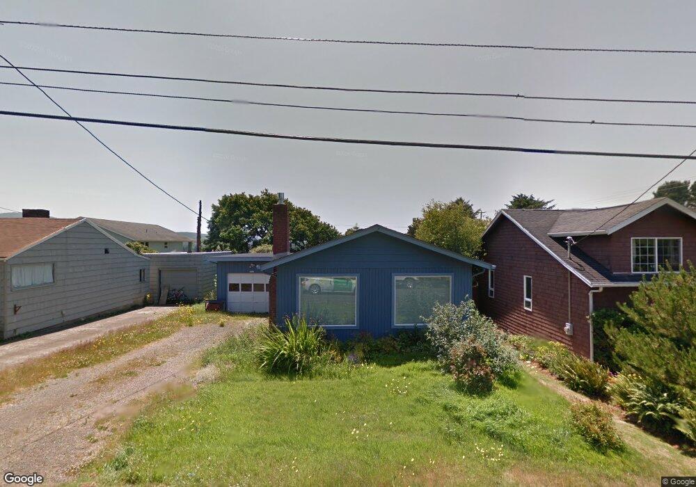
1722 NE 13th St Lincoln City, OR 97367
Estimated Value: $344,760 - $390,000
3
Beds
1
Bath
890
Sq Ft
$414/Sq Ft
Est. Value
About This Home
This home is located at 1722 NE 13th St, Lincoln City, OR 97367 and is currently estimated at $368,440, approximately $413 per square foot. 1722 NE 13th St is a home located in Lincoln County with nearby schools including Oceanlake Elementary School, Taft Elementary School, and Taft High School.
Ownership History
Date
Name
Owned For
Owner Type
Purchase Details
Closed on
Nov 30, 2011
Sold by
Franklin Carol A
Bought by
Hancock Astrid F
Current Estimated Value
Home Financials for this Owner
Home Financials are based on the most recent Mortgage that was taken out on this home.
Original Mortgage
$97,692
Outstanding Balance
$10,594
Interest Rate
4.06%
Mortgage Type
New Conventional
Estimated Equity
$357,846
Purchase Details
Closed on
Sep 16, 2005
Sold by
Holmberg David M
Bought by
Franklin Carol A
Home Financials for this Owner
Home Financials are based on the most recent Mortgage that was taken out on this home.
Original Mortgage
$65,000
Interest Rate
5.76%
Mortgage Type
Fannie Mae Freddie Mac
Create a Home Valuation Report for This Property
The Home Valuation Report is an in-depth analysis detailing your home's value as well as a comparison with similar homes in the area
Home Values in the Area
Average Home Value in this Area
Purchase History
| Date | Buyer | Sale Price | Title Company |
|---|---|---|---|
| Hancock Astrid F | $122,116 | Western Title & Escrow | |
| Franklin Carol A | $161,500 | Wte |
Source: Public Records
Mortgage History
| Date | Status | Borrower | Loan Amount |
|---|---|---|---|
| Open | Hancock Astrid F | $97,692 | |
| Previous Owner | Franklin Carol A | $65,000 |
Source: Public Records
Tax History Compared to Growth
Tax History
| Year | Tax Paid | Tax Assessment Tax Assessment Total Assessment is a certain percentage of the fair market value that is determined by local assessors to be the total taxable value of land and additions on the property. | Land | Improvement |
|---|---|---|---|---|
| 2024 | $2,515 | $147,490 | -- | -- |
| 2023 | $2,445 | $143,200 | $0 | $0 |
| 2022 | $2,377 | $139,030 | $0 | $0 |
| 2021 | $2,265 | $134,990 | $0 | $0 |
| 2020 | $2,212 | $131,060 | $0 | $0 |
| 2019 | $2,137 | $127,250 | $0 | $0 |
| 2018 | $2,089 | $123,550 | $0 | $0 |
| 2017 | $2,000 | $119,960 | $0 | $0 |
| 2016 | $1,875 | $116,470 | $0 | $0 |
| 2015 | $1,834 | $113,080 | $0 | $0 |
| 2014 | $1,787 | $109,790 | $0 | $0 |
| 2013 | -- | $106,600 | $0 | $0 |
Source: Public Records
Map
Nearby Homes
- 1744 NE 13th St
- 1610 NE 13th St
- 1500-1600
- 1500 1600 Blk Ne Oar Ave
- 1333 NE Keel Ave
- 2010 NE Devils Ridge Rd
- 1915 NE 15th St
- 2011 Devil's Ridge Rd
- 2011 NE Devils Ridge Rd
- 1937 NE 7th Dr
- 1340 NW 15th St
- 2036 NE Lagoon Ln
- 1810 NE 18th St
- 2278 NE Hotspur Ln
- 1311 NW 15th St Unit 102
- 1284 NW 15th St
- Lot 55 NE Indian Shores Dr
- 1461 NW 17th St
- 1268 NE Harbor Ridge
- 1842 NE 19th St
- 1714 NE 13th St
- 1700 Blk NE 13th St
- 1700 NE 13th St
- Lot 8 NE 13th St
- 1600 Blk NE 13th St
- 1954 NE 13th St
- 1900 Blk NE 13th St
- 1734 NE 13th St
- 1713 NE 13th St
- 1735 NE 13th St
- 0 NE Mast Ave
- 1727 NE 12th St
- 1220 NE Mast Ave
- 1320 NE Mast Ave
- 1754 NE 13th St
- 1747 NE 13th St
- 1239 NE Mast Ave
- 1745 NE 12th St
- 1227 NE Mast Ave
- 1334 NE Mast Ave