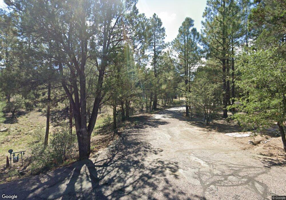
1722 Ramsgate Dr Prescott, AZ 86305
Estimated Value: $228,000 - $455,000
3
Beds
3
Baths
2,717
Sq Ft
$119/Sq Ft
Est. Value
About This Home
This home is located at 1722 Ramsgate Dr, Prescott, AZ 86305 and is currently estimated at $322,774, approximately $118 per square foot. 1722 Ramsgate Dr is a home located in Yavapai County with nearby schools including Granite Mountain Middle School, Lincoln Elementary School, and Prescott Mile High Middle School.
Ownership History
Date
Name
Owned For
Owner Type
Purchase Details
Closed on
Jun 26, 2009
Sold by
Johnson William and Johnson Kelly
Bought by
Rockow Ralph A and Rockow Barbara K
Current Estimated Value
Purchase Details
Closed on
Apr 24, 2003
Sold by
Dowling James Roswell and Dowling Mary Joan
Bought by
Johnson William and Johnson Kelly
Home Financials for this Owner
Home Financials are based on the most recent Mortgage that was taken out on this home.
Original Mortgage
$150,000
Interest Rate
5.53%
Mortgage Type
New Conventional
Create a Home Valuation Report for This Property
The Home Valuation Report is an in-depth analysis detailing your home's value as well as a comparison with similar homes in the area
Home Values in the Area
Average Home Value in this Area
Purchase History
| Date | Buyer | Sale Price | Title Company |
|---|---|---|---|
| Rockow Ralph A | $135,000 | First American Title Ins | |
| Johnson William | $410,000 | First American Title Ins Co |
Source: Public Records
Mortgage History
| Date | Status | Borrower | Loan Amount |
|---|---|---|---|
| Previous Owner | Johnson William | $150,000 |
Source: Public Records
Tax History Compared to Growth
Tax History
| Year | Tax Paid | Tax Assessment Tax Assessment Total Assessment is a certain percentage of the fair market value that is determined by local assessors to be the total taxable value of land and additions on the property. | Land | Improvement |
|---|---|---|---|---|
| 2026 | $593 | -- | -- | -- |
| 2024 | $581 | -- | -- | -- |
| 2023 | $581 | $23,720 | $23,720 | $0 |
| 2022 | $570 | $18,807 | $18,807 | $0 |
| 2021 | $594 | $17,627 | $17,627 | $0 |
| 2020 | $633 | $0 | $0 | $0 |
| 2019 | $625 | $0 | $0 | $0 |
| 2018 | $603 | $0 | $0 | $0 |
| 2017 | $572 | $0 | $0 | $0 |
| 2016 | $568 | $0 | $0 | $0 |
| 2015 | -- | $0 | $0 | $0 |
| 2014 | -- | $0 | $0 | $0 |
Source: Public Records
Map
Nearby Homes
- 3132 W Crestview Dr
- 1830 Royal Oak Cir
- 3186 W Pine Lakes Dr
- 1780 Windy Walk Ln Unit V
- 1430 Royal Oak Cir
- 1420 Royal Oak Cir
- 2910 W Crestview Dr
- 1796 Windy Walk Ln
- 1800 Windy Walk Ln
- 140 Lakeside St
- 1760 Rocking Horse
- 145 Lakeside St
- 2 Lakeside St
- 168 Northview Unit 168
- 81 Oakmont
- 184 Oxbow
- 72 Oakmont St
- 119 Briar
- 218 Midway
- 214 Midway
- 1746 Ramsgate Dr
- 1701 Cambridge Dr
- 1768 Ramsgate Dr
- 1701 Ramsgate Dr
- 1719 Ramsgate Dr
- 1751 Ramsgate Dr
- 0 Ramsgate Dr
- 1761 Cambridge Dr
- 1737 Ramsgate Dr
- 1773 Ramsgate Dr
- 1750 Cambridge Dr
- 1885 Kingswood Dr Unit 1
- 3101 W Crestview Dr
- 1791 Ramsgate Dr
- 1790 Cambridge Dr
- 1790 Cambridge Dr Unit 1
- 1746 Timberlane
- 1746 Timberlane Unit 1
- 1710 Timberlane
- 1768 Timberlane Unit 1
