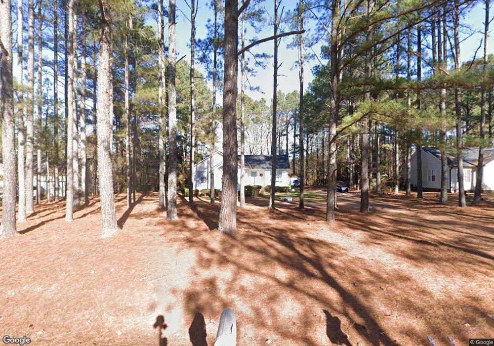
1722 Rock Pillar Rd Clayton, NC 27520
Estimated Value: $270,000 - $311,000
3
Beds
2
Baths
1,200
Sq Ft
$235/Sq Ft
Est. Value
About This Home
This home is located at 1722 Rock Pillar Rd, Clayton, NC 27520 and is currently estimated at $281,601, approximately $234 per square foot. 1722 Rock Pillar Rd is a home located in Johnston County with nearby schools including Swift Creek Middle, Smithfield-Selma High School, and American Leadership Academy.
Ownership History
Date
Name
Owned For
Owner Type
Purchase Details
Closed on
Jan 7, 2022
Sold by
Fischer John W and Fischer Katrina
Bought by
Woolford Barbara B and Sunderland Toni M
Current Estimated Value
Purchase Details
Closed on
Jul 24, 2019
Sold by
Woolford Barbara B
Bought by
Sunderland Toni M and Sunderland Joseph D
Purchase Details
Closed on
Sep 16, 2008
Sold by
Payne Shawn M and Payne Katrina Dee
Bought by
Woolford Charles and Woolford Barbara
Create a Home Valuation Report for This Property
The Home Valuation Report is an in-depth analysis detailing your home's value as well as a comparison with similar homes in the area
Home Values in the Area
Average Home Value in this Area
Purchase History
| Date | Buyer | Sale Price | Title Company |
|---|---|---|---|
| Woolford Barbara B | -- | Whitaker & Hamer Pllc | |
| Sunderland Toni M | -- | None Available | |
| Woolford Charles | $115,000 | None Available |
Source: Public Records
Tax History Compared to Growth
Tax History
| Year | Tax Paid | Tax Assessment Tax Assessment Total Assessment is a certain percentage of the fair market value that is determined by local assessors to be the total taxable value of land and additions on the property. | Land | Improvement |
|---|---|---|---|---|
| 2025 | $1,624 | $255,810 | $61,560 | $194,250 |
| 2024 | $1,069 | $131,920 | $41,670 | $90,250 |
| 2023 | $1,016 | $131,920 | $41,670 | $90,250 |
| 2022 | $1,042 | $131,920 | $41,670 | $90,250 |
| 2021 | $1,042 | $131,920 | $41,670 | $90,250 |
| 2020 | $1,082 | $131,920 | $41,670 | $90,250 |
| 2019 | $1,082 | $131,920 | $41,670 | $90,250 |
| 2018 | $0 | $110,230 | $28,410 | $81,820 |
| 2017 | $926 | $110,230 | $28,410 | $81,820 |
| 2016 | $926 | $110,230 | $28,410 | $81,820 |
| 2014 | -- | $110,230 | $28,410 | $81,820 |
Source: Public Records
Map
Nearby Homes
- 68 Ayden Dr
- 378 Rachels Way
- 2644 Rock Pillar Rd
- 120 Flying Point Ln
- 111 S Rose Hill Dr
- 380 Cooper Branch Rd
- The Camden Plan at Enclave at Swift Creek - The Villas
- The Brunswick Plan at Enclave at Swift Creek - The Villas
- 146 Starlet Ridge Way
- 104 Reagan Crest Dr
- 108 Craig Point Dr
- CALI Plan at Olive Branch
- KYLE Plan at Olive Branch
- HAYDEN Plan at Olive Branch
- GALEN Plan at Olive Branch
- 110 Craig Point Dr
- 112 Craig Point Dr
- 114 Craig Point Dr
- 1960 Cole Rd
- 214 Dasu Dr
- 1700 Rock Pillar Rd
- 1746 Rock Pillar Rd
- 1684 Rock Pillar Rd
- 98 Horatio Ct
- 1670 Rock Pillar Rd
- 1733 Rock Pillar Rd
- 132 Horatio Ct
- 164 Horatio Ct
- 1774 Rock Pillar Rd
- 1693 Rock Pillar Rd
- 51 Horatio Ct
- 97 Horatio Ct
- 1711 Rock Pillar Rd
- 1656 Rock Pillar Rd
- 1757 Rock Pillar Rd
- 1677 Rock Pillar Rd
- 1773 Rock Pillar Rd
- 184 Horatio Ct
- 1642 Rock Pillar Rd
- 1836 Rock Pillar Rd