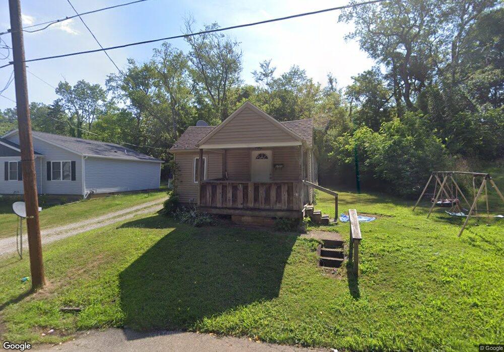
1722 Root Ave NE Canton, OH 44705
Fairmount NeighborhoodEstimated Value: $73,938 - $111,000
3
Beds
2
Baths
1,144
Sq Ft
$81/Sq Ft
Est. Value
About This Home
This home is located at 1722 Root Ave NE, Canton, OH 44705 and is currently estimated at $92,985, approximately $81 per square foot. 1722 Root Ave NE is a home located in Stark County with nearby schools including Belle Stone Elementary School, Early Learning Center @ Schreiber, and Youtz Intermediate School.
Ownership History
Date
Name
Owned For
Owner Type
Purchase Details
Closed on
Nov 24, 2017
Sold by
Springer Juanita F
Bought by
Hissner Steven J
Current Estimated Value
Purchase Details
Closed on
May 11, 2006
Sold by
Norris Donna J and Norris Christopher D
Bought by
Hysong William D
Purchase Details
Closed on
Sep 8, 1998
Sold by
Decost Bryon L
Bought by
Mayle Donna J
Create a Home Valuation Report for This Property
The Home Valuation Report is an in-depth analysis detailing your home's value as well as a comparison with similar homes in the area
Home Values in the Area
Average Home Value in this Area
Purchase History
| Date | Buyer | Sale Price | Title Company |
|---|---|---|---|
| Hissner Steven J | $10,000 | None Available | |
| Hysong William D | $2,200 | None Available | |
| Mayle Donna J | -- | None Available |
Source: Public Records
Tax History
| Year | Tax Paid | Tax Assessment Tax Assessment Total Assessment is a certain percentage of the fair market value that is determined by local assessors to be the total taxable value of land and additions on the property. | Land | Improvement |
|---|---|---|---|---|
| 2025 | -- | $15,510 | $3,610 | $11,900 |
| 2024 | -- | $15,510 | $3,610 | $11,900 |
| 2023 | $667 | $10,400 | $2,660 | $7,740 |
| 2022 | $621 | $10,400 | $2,660 | $7,740 |
| 2021 | $627 | $10,400 | $2,660 | $7,740 |
| 2020 | $496 | $7,350 | $2,240 | $5,110 |
| 2019 | $435 | $7,350 | $2,240 | $5,110 |
Source: Public Records
Map
Nearby Homes
- 2438 Indiana Way NE
- 1742 Taft Ave NE
- 2529 17th St NE
- 1824 Root Ave NE
- 2216 17th St NE
- 2211 17th St NE
- 2322 21st St NE
- 2102 16th St NE
- 2010 18th St NE
- 2402 14th St NE
- 2111 21st St NE
- 1417 Harrisburg Rd NE
- 1820 Midway Ave NE
- 2328 26th St NE
- 2012 Endrow Ave NE
- 2102 Endrow Ave NE
- 0 Dover Ave NE
- 1624 May Place NE
- 3106 22nd St NE
- 1607 18th St NE
- 1730 Root Ave NE
- 1730 Root Ave NE
- 1726 Root Ave NE
- 1717 Root Ave NE
- 1727 Root Ave NE
- 1742 Root Ave NE
- 1715 Root Ave NE
- 1713 Royal Ave NE
- 2407 17th St NE
- 2409 17th St NE
- 1735 Root Ave NE
- 1705 Royal Ave NE
- 1709 Root Ave NE
- 1740 Root Ave NE
- 0 Royal Ave NE
- 2444 18th St NE
- 1701 Royal Ave NE
- 1714 Superior Ave NE
- 1703 Root Ave NE
- 1739 Royal Ave NE
Your Personal Tour Guide
Ask me questions while you tour the home.