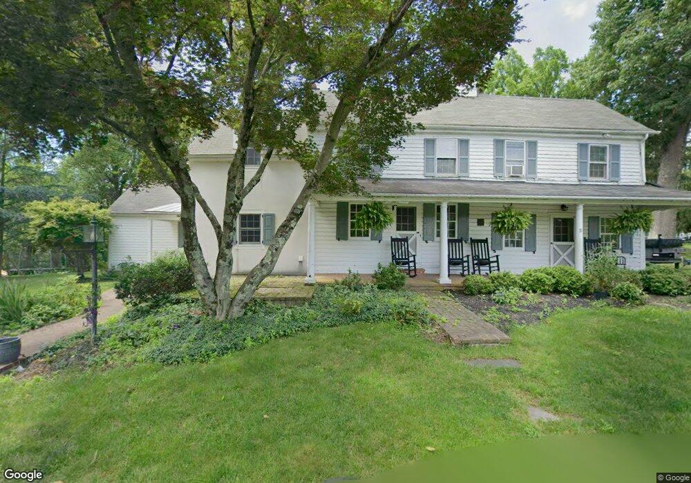
1722 Turk Rd Doylestown, PA 18901
Estimated Value: $737,000 - $1,013,000
5
Beds
3
Baths
2,418
Sq Ft
$357/Sq Ft
Est. Value
About This Home
This home is located at 1722 Turk Rd, Doylestown, PA 18901 and is currently estimated at $862,027, approximately $356 per square foot. 1722 Turk Rd is a home located in Bucks County with nearby schools including Kutz Elementary School, Lenape Middle School, and Central Bucks High School-West.
Ownership History
Date
Name
Owned For
Owner Type
Purchase Details
Closed on
Nov 26, 2014
Sold by
Steinbach Sally A
Bought by
Shull Benjamin P and Shull Amanda A
Current Estimated Value
Home Financials for this Owner
Home Financials are based on the most recent Mortgage that was taken out on this home.
Original Mortgage
$318,250
Outstanding Balance
$244,495
Interest Rate
4%
Mortgage Type
New Conventional
Estimated Equity
$617,532
Purchase Details
Closed on
Apr 16, 1964
Bought by
Steinbach Harry B and Steinbach Sally A
Create a Home Valuation Report for This Property
The Home Valuation Report is an in-depth analysis detailing your home's value as well as a comparison with similar homes in the area
Home Values in the Area
Average Home Value in this Area
Purchase History
| Date | Buyer | Sale Price | Title Company |
|---|---|---|---|
| Shull Benjamin P | $335,000 | None Available | |
| Steinbach Harry B | -- | -- |
Source: Public Records
Mortgage History
| Date | Status | Borrower | Loan Amount |
|---|---|---|---|
| Open | Shull Benjamin P | $318,250 |
Source: Public Records
Tax History Compared to Growth
Tax History
| Year | Tax Paid | Tax Assessment Tax Assessment Total Assessment is a certain percentage of the fair market value that is determined by local assessors to be the total taxable value of land and additions on the property. | Land | Improvement |
|---|---|---|---|---|
| 2025 | $7,107 | $40,160 | $7,520 | $32,640 |
| 2024 | $7,107 | $40,160 | $7,520 | $32,640 |
| 2023 | $6,777 | $40,160 | $7,520 | $32,640 |
| 2022 | $6,701 | $40,160 | $7,520 | $32,640 |
| 2021 | $6,563 | $40,160 | $7,520 | $32,640 |
| 2020 | $6,533 | $40,160 | $7,520 | $32,640 |
| 2019 | $6,463 | $40,160 | $7,520 | $32,640 |
| 2018 | $6,443 | $40,160 | $7,520 | $32,640 |
| 2017 | $6,392 | $40,160 | $7,520 | $32,640 |
| 2016 | $6,352 | $40,160 | $7,520 | $32,640 |
| 2015 | -- | $40,160 | $7,520 | $32,640 |
| 2014 | -- | $40,160 | $7,520 | $32,640 |
Source: Public Records
Map
Nearby Homes
- 60 Quarry Rd
- 125 Edison Furlong Rd
- 82 Avalon Ct Unit 2005
- 137 Wells Rd
- 20 Woodstone Dr
- 612 Bethel Ln Unit THE ROOSEVELT PLAN
- 45 Bedford Ave
- 1101 Deerfield Ln
- 137 Pebble Woods Dri Pebble Woods Dr
- 2385 Waverly Dr
- 100 Ginko St Unit 202
- 78 Tower Hill Rd
- 52 Tradesville Dr Unit 83
- Vetri Plan at Doylestown Walk
- 52 Tradesville Dr
- 2 Mill Creek Dr
- 2 Mill Creek Dr Unit 137
- 2320 Turk Rd
- 73 Tradesville Dr
- 73 Tradesville Dr Unit 80