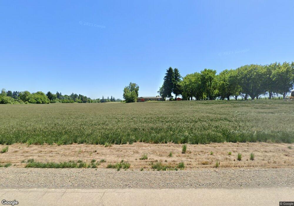
1722 Waconda Rd NE Gervais, OR 97026
Estimated Value: $1,413,931
5
Beds
4
Baths
4,000
Sq Ft
$353/Sq Ft
Est. Value
About This Home
This home is located at 1722 Waconda Rd NE, Gervais, OR 97026 and is currently estimated at $1,413,931, approximately $353 per square foot. 1722 Waconda Rd NE is a home located in Marion County with nearby schools including Gervais Middle School, Gervais High School, and Willamette Valley Christian School.
Ownership History
Date
Name
Owned For
Owner Type
Purchase Details
Closed on
May 1, 2012
Sold by
Estate Of Jeffrey A Weathers
Bought by
Weathers Douglas J and Weathers Audrey L
Current Estimated Value
Purchase Details
Closed on
Nov 10, 2003
Sold by
Weathers Jeffrey A and Weathers Ruth A
Bought by
Weathers Jeffrey A and Potucek Weathers Ruth A
Home Financials for this Owner
Home Financials are based on the most recent Mortgage that was taken out on this home.
Original Mortgage
$320,000
Interest Rate
5.72%
Mortgage Type
Unknown
Purchase Details
Closed on
Apr 25, 2001
Sold by
Weathers Charlene M
Bought by
Weathers Charlene and Weathers Jeffrey A
Home Financials for this Owner
Home Financials are based on the most recent Mortgage that was taken out on this home.
Original Mortgage
$250,000
Interest Rate
6.98%
Create a Home Valuation Report for This Property
The Home Valuation Report is an in-depth analysis detailing your home's value as well as a comparison with similar homes in the area
Home Values in the Area
Average Home Value in this Area
Purchase History
| Date | Buyer | Sale Price | Title Company |
|---|---|---|---|
| Weathers Douglas J | $650,000 | Ticor Title | |
| Weathers Jeffrey A | -- | Fidelity Natl Title Co Of Or | |
| Weathers Charlene | -- | First American |
Source: Public Records
Mortgage History
| Date | Status | Borrower | Loan Amount |
|---|---|---|---|
| Closed | Weathers Jeffrey A | $320,000 | |
| Closed | Weathers Charlene | $250,000 |
Source: Public Records
Tax History Compared to Growth
Tax History
| Year | Tax Paid | Tax Assessment Tax Assessment Total Assessment is a certain percentage of the fair market value that is determined by local assessors to be the total taxable value of land and additions on the property. | Land | Improvement |
|---|---|---|---|---|
| 2025 | $6,530 | $492,442 | -- | -- |
| 2024 | $6,530 | $478,345 | -- | -- |
| 2023 | $5,221 | $453,526 | $0 | $0 |
| 2022 | $4,927 | $440,565 | $0 | $0 |
| 2021 | $4,923 | $427,970 | $0 | $0 |
| 2020 | $4,535 | $415,750 | $0 | $0 |
| 2019 | $4,677 | $403,860 | $0 | $0 |
| 2018 | $4,680 | $0 | $0 | $0 |
| 2017 | $4,559 | $0 | $0 | $0 |
| 2016 | $4,434 | $0 | $0 | $0 |
| 2015 | $4,060 | $0 | $0 | $0 |
| 2014 | $3,935 | $0 | $0 | $0 |
Source: Public Records
Map
Nearby Homes
- Lot 1 Matheny Rd NE
- 0 Matheny (Lot1) Rd Unit 24267162
- 0000 Huff Ave NE
- 8295 Wheatland Rd N
- 1545 Dale Ave NE
- 1545 Dale Ave
- 7846 Matt Place NE
- 959 Stonebridge Ave NE
- 9342 Hallelujah Dr NE
- 754 Pinehurst Ave NE
- Lot #2 Oppek St NE
- Lot 6 Oppek St NE
- Lot 5 Oppek St NE
- 9334 Glory Ct NE
- 9285 Fellowship Ave NE
- 7541 Lennox Ln NE
- 1623 Leewood Ave NE
- 7532 Lennox Ln NE
- 7531 Lennox Ln NE
- 24925 Wallace Rd NW