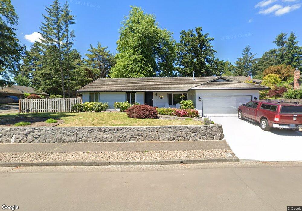
17221 Robb Place Lake Oswego, OR 97034
Palisades NeighborhoodEstimated Value: $729,000 - $1,002,000
3
Beds
2
Baths
1,812
Sq Ft
$461/Sq Ft
Est. Value
About This Home
This home is located at 17221 Robb Place, Lake Oswego, OR 97034 and is currently estimated at $835,479, approximately $461 per square foot. 17221 Robb Place is a home located in Clackamas County with nearby schools including Hallinan Elementary School, Lakeridge Middle School, and Lakeridge High School.
Ownership History
Date
Name
Owned For
Owner Type
Purchase Details
Closed on
Mar 5, 2021
Sold by
Oyama Kevin and Oyama Karen
Bought by
Barrera Jorge Antonio and Jorge A Barrera Living Trust
Current Estimated Value
Home Financials for this Owner
Home Financials are based on the most recent Mortgage that was taken out on this home.
Original Mortgage
$392,755
Outstanding Balance
$350,474
Interest Rate
2.7%
Mortgage Type
New Conventional
Estimated Equity
$485,005
Purchase Details
Closed on
Sep 28, 2009
Sold by
Riddle Jack Thomas and Riddle Sherry Gail
Bought by
Oyama Kevin and Oyama Karen
Create a Home Valuation Report for This Property
The Home Valuation Report is an in-depth analysis detailing your home's value as well as a comparison with similar homes in the area
Home Values in the Area
Average Home Value in this Area
Purchase History
| Date | Buyer | Sale Price | Title Company |
|---|---|---|---|
| Barrera Jorge Antonio | $400,000 | Wfg Title | |
| Oyama Kevin | $380,000 | Chicago Title Insurance Co |
Source: Public Records
Mortgage History
| Date | Status | Borrower | Loan Amount |
|---|---|---|---|
| Open | Barrera Jorge Antonio | $392,755 |
Source: Public Records
Tax History Compared to Growth
Tax History
| Year | Tax Paid | Tax Assessment Tax Assessment Total Assessment is a certain percentage of the fair market value that is determined by local assessors to be the total taxable value of land and additions on the property. | Land | Improvement |
|---|---|---|---|---|
| 2025 | $6,985 | $364,545 | -- | -- |
| 2024 | $6,799 | $353,928 | -- | -- |
| 2023 | $6,799 | $343,620 | $0 | $0 |
| 2022 | $6,404 | $333,612 | $0 | $0 |
| 2021 | $5,914 | $323,896 | $0 | $0 |
| 2020 | $5,765 | $314,463 | $0 | $0 |
| 2019 | $5,624 | $305,304 | $0 | $0 |
| 2018 | $5,348 | $296,412 | $0 | $0 |
| 2017 | $5,160 | $287,779 | $0 | $0 |
| 2016 | $4,697 | $279,397 | $0 | $0 |
| 2015 | $4,538 | $271,259 | $0 | $0 |
| 2014 | $4,479 | $263,358 | $0 | $0 |
Source: Public Records
Map
Nearby Homes
- 1467 Greentree Cir
- 1410 Woodland Terrace
- 1224 Tyndall Ct
- 1300 Tyndall Ct
- 731 Clara Ct
- 1093 Tyndall Ct
- 1700 Woodland Terrace
- 1520 Cherry Crest Ave
- 1405 Cherry Crest Ave
- 1015 Southshore Blvd
- 1847 Woodland Terrace
- 1951 Greentree Rd
- 1931 Park Forest Ct
- 800 Terrace Dr
- 0 S Shore Blvd
- 1720 Kilkenny Dr
- 2255 Glen Haven Rd
- 1725 Southshore Blvd
- 1710 S Shore Blvd
- 1865 Palisades Lake Ct
- 1419 Greentree Cir
- 17211 Robb Place
- 17220 Robb Place
- 1421 Greentree Cir
- 1418 Greentree Cir
- 1420 Greentree Cir
- 1416 Greentree Cir
- 17210 Robb Place
- 1422 Greentree Cir
- 17191 Robb Place
- 17189 Carlson Ct
- 1414 Greentree Cir
- 1423 Greentree Cir
- 1464 Greentree Cir
- 1413 Greentree Cir
- 17200 Robb Place
- 1462 Greentree Cir
- 1468 Greentree Cir
- 1425 Greentree Cir
- 17187 Carlson Ct