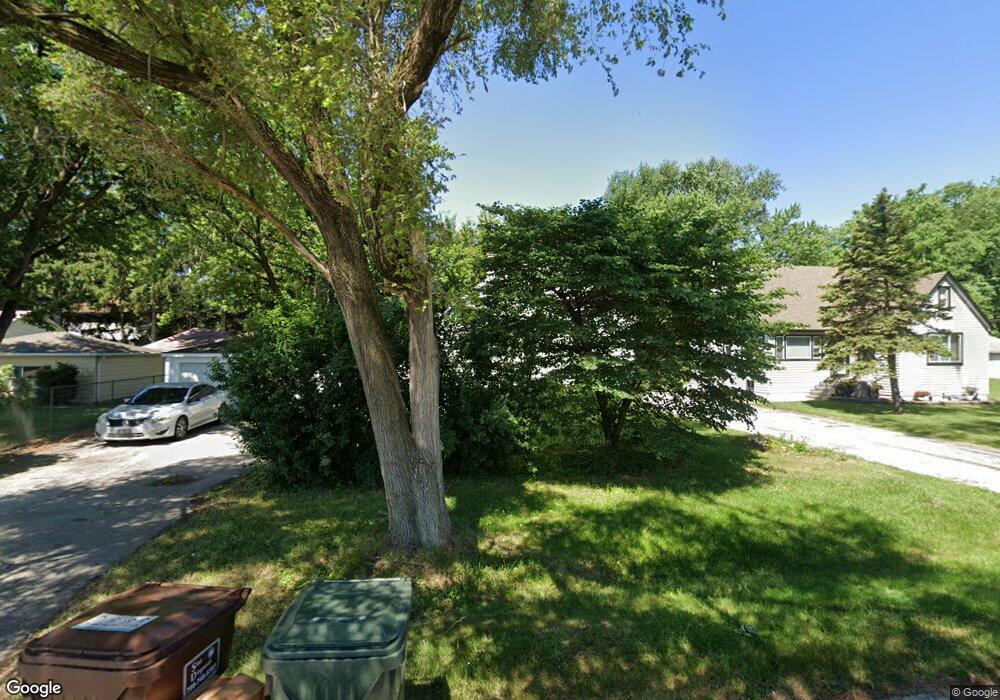
17222 Throop St Hazel Crest, IL 60429
Estimated Value: $71,000 - $142,000
3
Beds
1
Bath
1,000
Sq Ft
$109/Sq Ft
Est. Value
About This Home
This home is located at 17222 Throop St, Hazel Crest, IL 60429 and is currently estimated at $109,044, approximately $109 per square foot. 17222 Throop St is a home located in Cook County with nearby schools including Thornwood High School.
Ownership History
Date
Name
Owned For
Owner Type
Purchase Details
Closed on
Apr 22, 2022
Sold by
Marquette Bank
Bought by
A & H Homes Llc
Current Estimated Value
Purchase Details
Closed on
Aug 8, 2011
Sold by
Alexander Diane M
Bought by
Marquette Bank and Trust #19672
Purchase Details
Closed on
Aug 28, 2009
Sold by
Hilliker Irene A
Bought by
Hilliker Irene A and Alexander Diane M
Create a Home Valuation Report for This Property
The Home Valuation Report is an in-depth analysis detailing your home's value as well as a comparison with similar homes in the area
Home Values in the Area
Average Home Value in this Area
Purchase History
| Date | Buyer | Sale Price | Title Company |
|---|---|---|---|
| A & H Homes Llc | $61,000 | Madsen Joyce A | |
| Marquette Bank | -- | None Available | |
| Hilliker Irene A | -- | None Available |
Source: Public Records
Tax History Compared to Growth
Tax History
| Year | Tax Paid | Tax Assessment Tax Assessment Total Assessment is a certain percentage of the fair market value that is determined by local assessors to be the total taxable value of land and additions on the property. | Land | Improvement |
|---|---|---|---|---|
| 2024 | $3,514 | $6,100 | $1,774 | $4,326 |
| 2023 | $630 | $7,100 | $1,774 | $5,326 |
| 2022 | $630 | $4,390 | $2,365 | $2,025 |
| 2021 | $947 | $4,813 | $2,365 | $2,448 |
| 2020 | $1,048 | $4,813 | $2,365 | $2,448 |
| 2019 | $1,488 | $5,917 | $2,168 | $3,749 |
| 2018 | $1,468 | $5,917 | $2,168 | $3,749 |
| 2017 | $1,511 | $5,917 | $2,168 | $3,749 |
| 2016 | $2,356 | $6,697 | $1,971 | $4,726 |
| 2015 | $2,211 | $6,697 | $1,971 | $4,726 |
| 2014 | $2,197 | $6,697 | $1,971 | $4,726 |
| 2013 | $2,266 | $7,242 | $1,971 | $5,271 |
Source: Public Records
Map
Nearby Homes
- 1321 172nd St
- 1314 174th St
- 1409 172nd St
- 1411 172nd St
- 17406 Throop St
- 17231 Laflin Ave
- 1100 173rd St
- 1514 173rd St
- 1113 171st St
- 1025 171st St
- 17304 Lathrop Ave
- 1001 172nd St
- 17212 Hawthorne Dr
- 1710 169th St
- 16929 Wood St
- 16919 Wood St
- 1903 171st St
- 17222 Country Ln
- 1848 172nd St
- 17308 Forestway Dr